
| Distance / Altitude | Location | Report Date / Time | Live Weather | Wind | Gusts | Temp. | Visibility | Cloud |
|---|---|---|---|---|---|---|---|---|
| 10 km ESE / 218 m | Costa Mesa Airport (California) | 2026-07-09 18:53 local (2026/07/10 01:53 GMT) | - | light winds from the SSW (17 km/h at 210) | 20°C | 16 | few | |
| 10 km WNW / 213 m | Los Alamitos Army Airfield Airport (California) | 2026-07-09 18:55 local (2026/07/10 01:55 GMT) | - | light winds from the SSW (15 km/h at 200) | 21°C | 11 | few | |
| 16 km E / 22.8 m | Irvine (California) | 2026-07-09 20:47 local (2026/07/10 03:47 GMT) | - | calm (2 km/h at 253) | — | - | - - 0 | |
| 20 km N / 218 m | Fullerton Airport (California) | 2026-07-09 18:53 local (2026/07/10 01:53 GMT) | Clear | light winds from the SW (7 km/h at 220) | 22°C | 16 | ||
| 21 km WSW / 15 m | SHIP3766 (Marine) | 2026-07-09 18:00 local (2026/07/10 01:00 GMT) | - (- km/h at -) | — | - km | |||
| 21 km WSW / 15 m | SHIP4522 (Marine) | 2026-07-09 18:00 local (2026/07/10 01:00 GMT) | - (- km/h at -) | — | - km | |||
| 21 km WSW / 3 m | SHIP7935 (Marine) | 2026-07-09 18:00 local (2026/07/10 01:00 GMT) | - (- km/h at -) | 20°C | - | |||
| 21 km WSW / 15 m | SHIP2351 (Marine) | 2026-07-09 19:00 local (2026/07/10 02:00 GMT) | - (- km/h at -) | — | - km | |||
| 21 km WSW / 15 m | SHIP2177 (Marine) | 2026-07-09 18:00 local (2026/07/10 01:00 GMT) | - (- km/h at -) | — | - km | |||
| 21 km WSW / 15 m | SHIP3779 (Marine) | 2026-07-09 18:00 local (2026/07/10 01:00 GMT) | - (- km/h at -) | — | - km |
| Contours: | Roads & Rivers: | Select a
tide station / surf break / city |
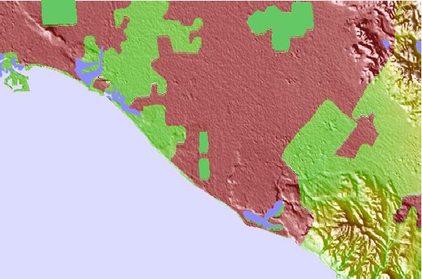
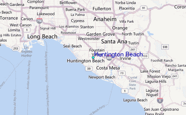
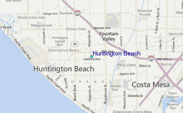
Use this relief map to navigate to tide stations, surf breaks and cities that are in the area of Huntington Beach.
Other Nearby Locations' tide tables and tide charts to Huntington Beach:
click location name for more details
 Surf breaks close to Huntington Beach:
|
||
|---|---|---|
| Closest surf break | Huntington Beach | 3 mi |
| Second closest surf break | Huntington Pier | 3 mi |
| Third closest surf break | Santa Ana River Jetties | 3 mi |
| Fourth closest surf break | Huntington Cliffs | 4 mi |
| Fifth closest surf break | 56th St | 5 mi |


 Nearest
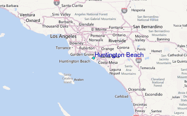