
| Distance / Altitude | Location | Report Date / Time | Live Weather | Wind | Gusts | Temp. | Visibility | Cloud |
|---|---|---|---|---|---|---|---|---|
| 34 km ENE / 191 m | Santa Cruz (Aero) (Brazil) | 2026-07-09 17:00 local (2026/07/09 20:00 GMT) | Dry and partly cloudy | light winds from the S (7 km/h at 190) | — | 0.0 | scattered scattered broken | |
| 42 km ENE / 36 m | Seropedica -Ecologia Agricola (Brazil) | 2026-07-09 17:00 local (2026/07/09 20:00 GMT) | no report | wind obs. (7 kph from 340 degs) was rejected (- km/h at -) | 20°C | - | - | |
| 45 km E / 11 m | Marambaia (Rio de Janeiro) (Brazil) | 2026-07-09 17:00 local (2026/07/09 20:00 GMT) | no report | wind obs. (14 kph from 10 degs) was rejected (- km/h at -) | 21°C | - | - | |
| 61 km E / 38 m | Condomínio Blue wx (Brazil) | 2026-07-09 16:14 local (2026/07/09 19:14 GMT) | - | - (- km/h at ) | 26°C | - | - - 0 | |
| 66 km ENE / 46 m | Vila Militar (Rio de Janeiro) (Brazil) | 2026-07-09 17:00 local (2026/07/09 20:00 GMT) | no report | calm (0 km/h at 10) | 14°C | - | - - - | |
| 68 km E / 444 m | Jacarepagua Airport (Brazil) | 2026-07-09 17:00 local (2026/07/09 20:00 GMT) | Dry and partly cloudy | calm (2 km/h at 300) | — | 0.0 | few scattered - | |
| 70 km ENE / 189 m | Afonsos Airport (Brazil) | 2026-07-09 17:00 local (2026/07/09 20:00 GMT) | - | light winds from the SSE (7 km/h at 150) | — | 0.0 | ||
| 83 km ENE / 216 m | Rio de Janeiro/Galeão Airport (Brazil) | 2026-07-09 17:00 local (2026/07/09 20:00 GMT) | - | light winds from the ESE (13 km/h at 120) | — | 0.0 | ||
| 88 km ENE / 1 m | Jardim Guanabara wx (Brazil) | 2026-07-09 17:44 local (2026/07/09 20:44 GMT) | - | - (- km/h at ) | 24°C | - | - - 0 | |
| 90 km E / 214 m | Rio de Janeiro Santos Dumont Airport (Brazil) | 2026-07-09 17:00 local (2026/07/09 20:00 GMT) | Dry and partly cloudy | light winds from the SSE (9 km/h at 150) | — | 0.0 | few scattered broken |
| Contours: | Roads & Rivers: | Select a
tide station / surf break / city |
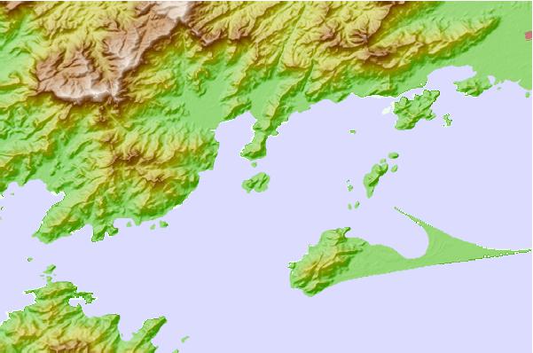
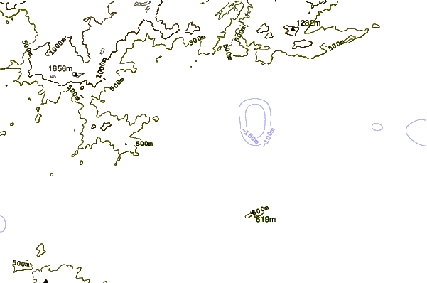
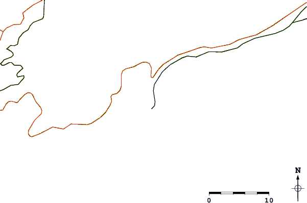
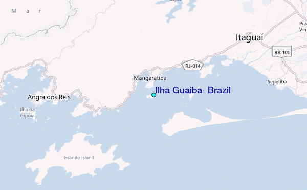
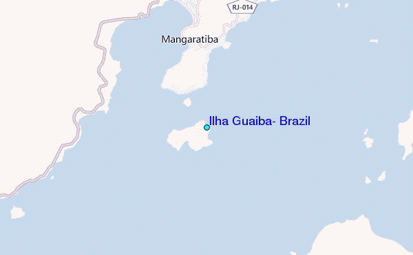
Use this relief map to navigate to tide stations, surf breaks and cities that are in the area of Ilha Guaiba, Brazil.
Other Nearby Locations' tide tables and tide charts to Ilha Guaiba, Brazil:
click location name for more details
 Surf breaks close to Ilha Guaiba, Brazil:
|
||
|---|---|---|
| Closest surf break | Lopes Mendes (Ilha Grande) | 14 mi |
| Second closest surf break | Praia do Aventureiro | 22 mi |
| Third closest surf break | Barra de Guaratiba | 30 mi |
| Fourth closest surf break | Grumari | 32 mi |
| Fifth closest surf break | Prainha | 34 mi |


 Nearest
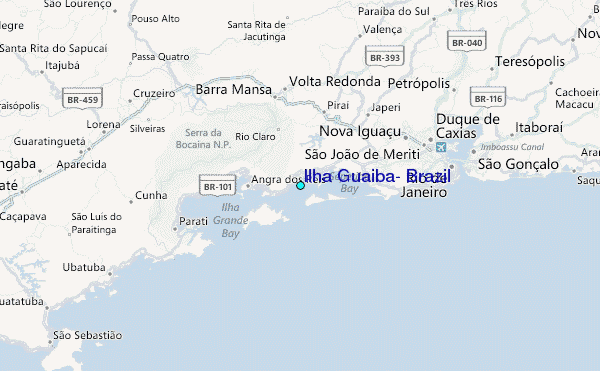