
| Distance / Altitude | Location | Report Date / Time | Live Weather | Wind | Gusts | Temp. | Visibility | Cloud |
|---|---|---|---|---|---|---|---|---|
| 34 km S / 15 m | ASCATC242E29N (Marine) | 2026-07-09 11:17 local (2026/07/09 18:17 GMT) | moderate winds from the NW (20 km/h at 320) | — | - km | |||
| 79 km NW / 15 m | ASCATC242E30N (Marine) | 2026-07-09 11:16 local (2026/07/09 18:16 GMT) | moderate winds from the NW (20 km/h at 314) | — | - km | |||
| 99 km S / 15 m | SHIP2397 (Marine) | 2026-07-09 11:00 local (2026/07/09 18:00 GMT) | light winds from the N (11.16 km/h at 350) | 20°C | 17.7 km | |||
| 117 km SW / 15 m | ASCATC241E29N (Marine) | 2026-07-09 11:17 local (2026/07/09 18:17 GMT) | moderate winds from the NNW (23 km/h at 337) | — | - km | |||
| 136 km S / 15 m | ASCATC242E28N (Marine) | 2026-07-09 11:17 local (2026/07/09 18:17 GMT) | light winds from the NNW (18 km/h at 341) | — | - km | |||
| 117 km SW / 15 m | ASCATC241E29N (Marine) | 2026-07-09 11:17 local (2026/07/09 18:17 GMT) | moderate winds from the NNW (23 km/h at 337) | — | - km | |||
| 132 km SSW / 3 m | SHIP8390 (Marine) | 2026-07-09 13:00 local (2026/07/09 20:00 GMT) | - (- km/h at -) | 21°C | - | |||
| 132 km SSW / 15 m | SHIP5264 (Marine) | 2026-07-09 13:00 local (2026/07/09 20:00 GMT) | - (- km/h at -) | — | - km | |||
| 132 km SSW / 3 m | SHIP4351 (Marine) | 2026-07-09 13:00 local (2026/07/09 20:00 GMT) | - (- km/h at -) | 21°C | - | |||
| 135 km S / 15 m | ASCATC242E28N (Marine) | 2026-07-09 11:17 local (2026/07/09 18:17 GMT) | light winds from the NNW (18 km/h at 341) | — | - km |
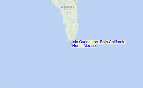
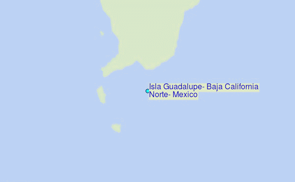
Choose Isla Guadalupe, Baja California Norte, Mexico Location Map Zoom:
| Contours: | Roads & Rivers: | Select a
tide station / surf break / city |
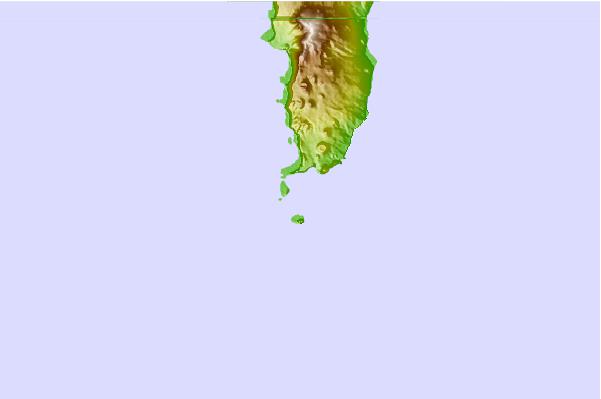
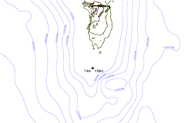
Use this relief map to navigate to tide stations, surf breaks and cities that are in the area of Isla Guadalupe, Baja California Norte, Mexico.
Other Nearby Locations' tide tables and tide charts to Isla Guadalupe, Baja California Norte, Mexico:
click location name for more details
 Surf breaks close to Isla Guadalupe, Baja California Norte, Mexico:
|
||
|---|---|---|
| Closest surf break | Punta Baja | 167 mi |
| Second closest surf break | Punta San Antonio | 167 mi |
| Third closest surf break | Punta San Carlos | 175 mi |
| Fourth closest surf break | Casas | 177 mi |
| Fifth closest surf break | Cabo San Quintin | 178 mi |


 Nearest
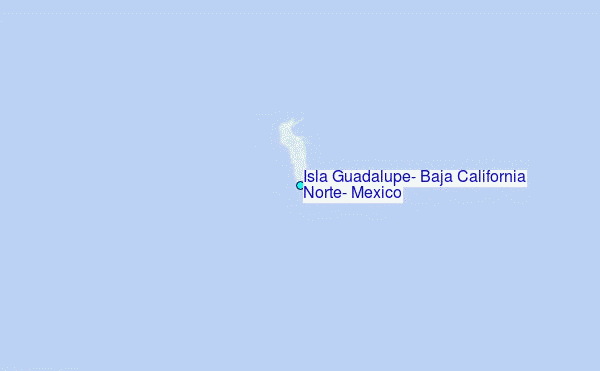