
| Distance / Altitude | Location | Report Date / Time | Live Weather | Wind | Gusts | Temp. | Visibility | Cloud |
|---|---|---|---|---|---|---|---|---|
| 237 km E / 15 m | SHIP2311 (Marine) | 2026-07-09 13:00 local (2026/07/09 20:00 GMT) | light winds from the E (14.76 km/h at 90) | 30°C | 17.7 km | |||
| 483 km NNE / 140 m | Cabo San Lucas Airport (Mexico) | 2026-07-09 13:53 local (2026/07/09 20:53 GMT) | - | light winds from the SE (19 km/h at 140) | — | 14 | ||
| 504 km NNE / 29 m | San Jose del Cabo (Mexico) | 2026-07-09 13:13 local (2026/07/09 20:13 GMT) | dry | wind obs. (8 kph from 115 degs) was rejected (- km/h at -) | 30°C | - | - - 0 | |
| 508 km NNE / 246 m | Los Cabos International Airport/San José del Cabo (Mexico) | 2026-07-09 13:45 local (2026/07/09 20:45 GMT) | - | moderate winds from the SSE (26 km/h at 150) | — | 16 | ||
| 521 km N / 30 m | Pescadero (Mexico) | 2026-07-09 12:39 local (2026/07/09 19:39 GMT) | dry | light winds from the SW (6 km/h at 234) | 30°C | - | - - 0 | |
| 506 km NNE / 246 m | Los Cabos International Airport/San José del Cabo (Mexico) | 2026-07-09 13:45 local (2026/07/09 20:45 GMT) | - | moderate winds from the SSE (26 km/h at 150) | — | 16 | ||
| 518 km N / 30 m | Pescadero (Mexico) | 2026-07-09 12:39 local (2026/07/09 19:39 GMT) | dry | light winds from the SW (6 km/h at 234) | 30°C | - | - - 0 | |
| 595 km N / 273 m | La Paz International Airport (Mexico) | 2026-07-09 14:40 local (2026/07/09 21:40 GMT) | - | light winds from the SW (19 km/h at 220) | 37°C | 16 | few | |
| 596 km N / 25 m | La Paz (Mexico) | 2026-07-09 13:17 local (2026/07/09 20:17 GMT) | dry | - (- km/h at ) | — | - | - - 0 | |
| 602 km N / 18 m | LA Paz- Bcs (Mexico) | 2026-07-09 14:00 local (2026/07/09 21:00 GMT) | no report | wind obs. (18 kph from 170 degs) was rejected (- km/h at -) | 27°C | 2000 | - |
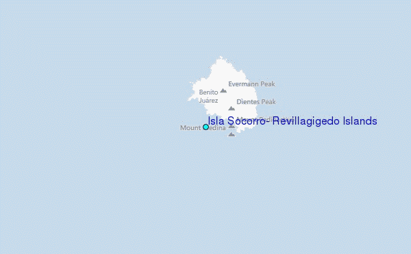
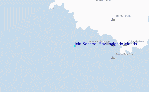
Choose Isla Socorro, Revillagigedo Islands Location Map Zoom:
| Contours: | Roads & Rivers: | Select a
tide station / surf break / city |
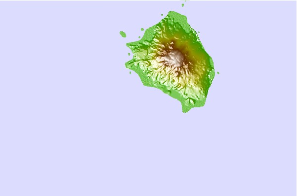
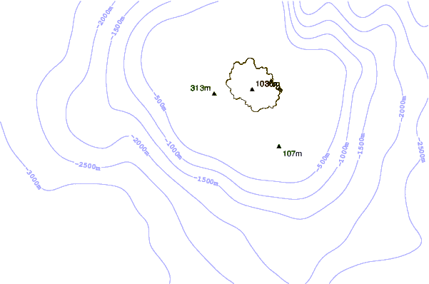
Use this relief map to navigate to tide stations, surf breaks and cities that are in the area of Isla Socorro, Revillagigedo Islands.
Other Nearby Locations' tide tables and tide charts to Isla Socorro, Revillagigedo Islands:
click location name for more details
 Surf breaks close to Isla Socorro, Revillagigedo Islands:
|
||
|---|---|---|
| Closest surf break | Backwash | 296 mi |
| Second closest surf break | Monuments | 297 mi |
| Third closest surf break | Bahia Chileno | 298 mi |
| Fourth closest surf break | Rancho San Carlos | 300 mi |
| Fifth closest surf break | La Punta | 301 mi |


 Nearest
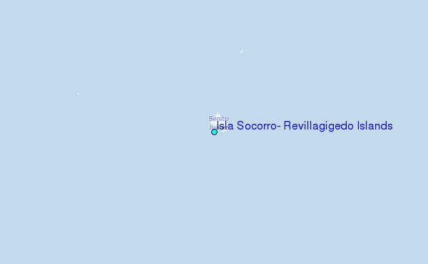