
| Distance / Altitude | Location | Report Date / Time | Live Weather | Wind | Gusts | Temp. | Visibility | Cloud |
|---|---|---|---|---|---|---|---|---|
| 15 km ESE / 53 m | Sao Luiz (Aero) (Brazil) | 2026-07-09 18:00 local (2026/07/09 21:00 GMT) | no report | light winds from the E (9 km/h at 80) | 26°C | 20 | - | |
| 17 km ESE / 216 m | Aeroporto Internacional de São Luís - Marechal (Brazil) | 2026-07-09 17:00 local (2026/07/09 20:00 GMT) | Dry and partly cloudy | fresh winds from the E (31 km/h at 80) | 29°C | 10.0 | broken scattered scattered | |
| 150 km WNW / 42 m | Turiacu (81687 -0) (Brazil) | 2026-07-09 17:00 local (2026/07/09 20:00 GMT) | no report | calm (0 km/h at 120) | 27°C | - | - | |
| 172 km SE / 92 m | Chapadinha (Brazil) | 2026-07-09 17:00 local (2026/07/09 20:00 GMT) | no report | light winds from the ENE (7 km/h at 60) | 25°C | - | - - - | |
| 191 km S / 30 m | Bacabal (81790 -0) (Brazil) | 2026-07-09 17:00 local (2026/07/09 20:00 GMT) | no report | - (- km/h at 160) | 24°C | - | - | |
| 274 km SSE / 78 m | Caxias (81792 -0) (Brazil) | 2026-07-09 17:00 local (2026/07/09 20:00 GMT) | - | calm (0 km/h at 240) | — | - | - | |
| 293 km E / 58 m | Parnaiba (81752 -0) (Brazil) | 2026-07-09 17:00 local (2026/07/09 20:00 GMT) | no report | wind obs. (7 kph from 120 degs) was rejected (- km/h at -) | 25°C | - | - | |
| 294 km E / 502 m | Parnaiba Airport (Brazil) | 2026-07-09 17:00 local (2026/07/09 20:00 GMT) | - | fresh winds from the ENE (33 km/h at 70) | 29°C | 10.0 | few | |
| 302 km SSW / 176 m | Buriticupu (Brazil) | 2026-07-09 17:00 local (2026/07/09 20:00 GMT) | - | - (- km/h at -) | — | - | - | |
| 322 km SSE / 215 m | Teresina–Senador Petrônio Portella Airport (Brazil) | 2026-07-09 17:00 local (2026/07/09 20:00 GMT) | Dry and partly cloudy | light winds from the ENE.(Wind varies from 020 to 110 degs) (7 km/h at 60) | 34°C | 10.0 | few broken broken |
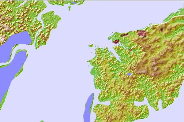
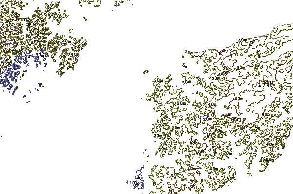
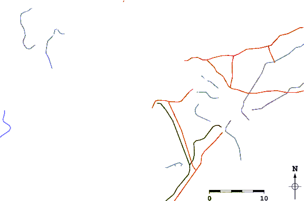
| Contours: | Roads & Rivers: | Select a
tide station / surf break / city |
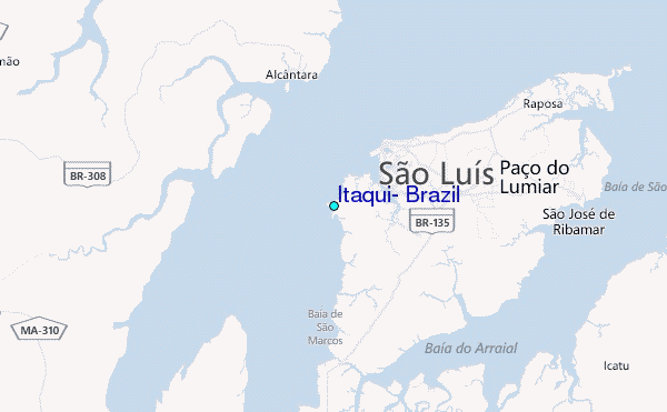
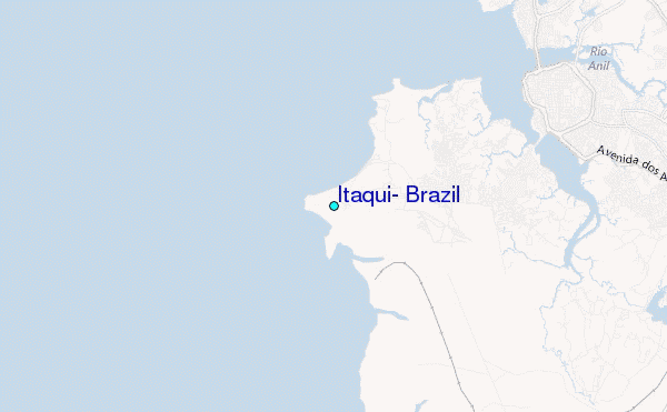
Use this relief map to navigate to tide stations, surf breaks and cities that are in the area of Itaqui, Brazil.
Other Nearby Locations' tide tables and tide charts to Itaqui, Brazil:
click location name for more details
 Surf breaks close to Itaqui, Brazil:
|
||
|---|---|---|
| Closest surf break | Ponta d'Areia | 2 mi |
| Second closest surf break | Praia de Sao Marcos | 3 mi |
| Third closest surf break | Ponta do Farol | 6 mi |
| Fourth closest surf break | Praia do Calhau | 8 mi |
| Fifth closest surf break | Praia do Caolho | 12 mi |


 Nearest
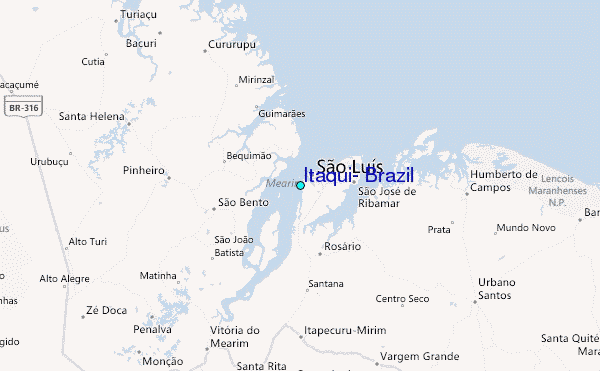