
| Distance / Altitude | Location | Report Date / Time | Live Weather | Wind | Gusts | Temp. | Visibility | Cloud |
|---|---|---|---|---|---|---|---|---|
| 215 km NE / 208 m | Majuro Atoll Airport (Marshall Islands) | 2026-07-10 06:50 local (2026/07/09 18:50 GMT) | Dry and cloudy | calm (0 km/h at 0) | 28°C | 24 | few scattered overcast | |
| 221 km NE / 169 m | Majuro Wso Airport (Marshall Islands) | 2026-07-10 07:53 local (2026/07/09 19:53 GMT) | Dry and partly cloudy | light winds from the N (7 km/h at 1) | — | 24 | few scattered broken | |
| 231 km NE / 3 m | Kalo- Majuro- Marshall Islands (Marine) | 2026-07-10 06:30 local (2026/07/09 18:30 GMT) | - (- km/h at -) | 26°C | - | |||
| 269 km NE / 3 m | BUOY-52216 (Marine) | 2026-07-10 07:30 local (2026/07/09 19:30 GMT) | - (- km/h at -) | — | - | |||
| 376 km WNW / 3 m | BUOY-KWJP8 (Marine) | 2026-07-10 07:48 local (2026/07/09 19:48 GMT) | - (- km/h at -) | — | - | |||
| 377 km WNW / 215 m | Kwajalein/buchol Airport (Marshall Islands) | 2026-07-10 07:40 local (2026/07/09 19:40 GMT) | Dry and partly cloudy | calm (0 km/h at 0) | 28°C | 16 | broken scattered broken | |
| 622 km SE / 2 m | Tarawa Kiribati Airport (Fiji/tonga/tuvalu) | 2026-07-10 07:00 local (2026/07/09 19:00 GMT) | Dry and partly cloudy | light winds from the WSW (11 km/h at 240) | 28°C | 10.0 | few scattered - | |
| 1270 km WSW / 192 m | Pohnpei Airport (Micronesia) | 2026-07-10 06:50 local (2026/07/09 18:50 GMT) | Dry and cloudy | calm (0 km/h at 0) | 25°C | 24 | broken overcast overcast | |
| 1422 km SW / 7 m | Cassidy International Airport (Kiribati) | 2026-07-10 07:00 local (2026/07/09 19:00 GMT) | Dry and partly cloudy | wind obs. (7 kph from 90 degs) was rejected (- km/h at -) | 31°C | 10.0 | few scattered | |
| 1514 km NW / 194 m | Wake Island Airfield Airport (Wake Island) | 2026-07-10 06:55 local (2026/07/09 18:55 GMT) | - | light winds from the E (15 km/h at 100) | 28°C | 11 | few |
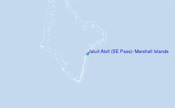
Choose Jaluit Atoll (SE Pass), Marshall Islands Location Map Zoom:
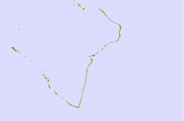
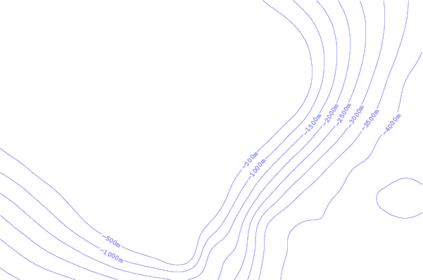
| Contours: | Roads & Rivers: | Select a
tide station / surf break / city |
Use this relief map to navigate to tide stations, surf breaks and cities that are in the area of Jaluit Atoll (SE Pass), Marshall Islands.
Other Nearby Locations' tide tables and tide charts to Jaluit Atoll (SE Pass), Marshall Islands:
click location name for more details
 Surf breaks close to Jaluit Atoll (SE Pass), Marshall Islands:
|
||
|---|---|---|
| Closest surf break | Naa | 374 mi |
| Second closest surf break | Sidedish | 464 mi |
| Third closest surf break | Walung | 465 mi |
| Fourth closest surf break | Lavata | 1306 mi |
| Fifth closest surf break | Kundu Kundu | 1307 mi |


 Nearest