
| Distance / Altitude | Location | Report Date / Time | Live Weather | Wind | Gusts | Temp. | Visibility | Cloud |
|---|---|---|---|---|---|---|---|---|
| 21 km SW / 88 m | Jayapura/Sentani Airport (Indonesia) | 2026-07-10 03:30 local (2026/07/09 18:30 GMT) | Light rain | light winds from the E (6 km/h at 80) | 24°C | 8.0 | broken broken - | |
| 306 km E / 15 m | SHIP3149 (Marine) | 2026-07-10 02:00 local (2026/07/09 17:00 GMT) | light winds from the SE (18.36 km/h at 140) | 24°C | 17.7 km | |||
| 357 km NE / 0 m | lightning (Papua New Guinea) | 2026-07-10 04:46 local (2026/07/09 19:46 GMT) | Thunderstorm | (- km/h at -) | — | |||
| 387 km WNW / 0 m | lightning (Indonesia) | 2026-07-10 04:33 local (2026/07/09 19:33 GMT) | Thunderstorm | (- km/h at -) | — | |||
| 502 km WSW / 0 m | lightning 146km N of Nabire (Indonesia) | 2026-07-10 04:17 local (2026/07/09 19:17 GMT) | Thunderstorm | (- km/h at -) | — | |||
| 306 km E / 15 m | SHIP7735 (Marine) | 2026-07-10 02:00 local (2026/07/09 17:00 GMT) | light winds from the SE (18.36 km/h at 140) | 24°C | 17.7 km | |||
| 306 km E / 15 m | SHIP4462 (Marine) | 2026-07-10 02:00 local (2026/07/09 17:00 GMT) | light winds from the SE (18.36 km/h at 140) | 24°C | 17.7 km | |||
| 357 km NE / 0 m | lightning (Papua New Guinea) | 2026-07-10 04:46 local (2026/07/09 19:46 GMT) | Thunderstorm | (- km/h at -) | — | |||
| 387 km WNW / 0 m | lightning (Indonesia) | 2026-07-10 04:33 local (2026/07/09 19:33 GMT) | Thunderstorm | (- km/h at -) | — | |||
| 503 km WSW / 0 m | lightning 146km N of Nabire (Indonesia) | 2026-07-10 04:17 local (2026/07/09 19:17 GMT) | Thunderstorm | (- km/h at -) | — |

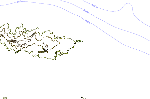
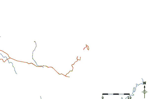
| Contours: | Roads & Rivers: | Select a
tide station / surf break / city |
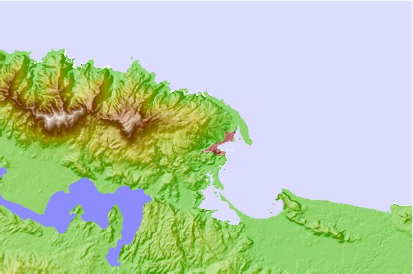
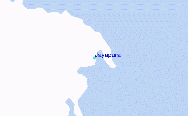
Use this relief map to navigate to tide stations, surf breaks and cities that are in the area of Jayapura.
Other Nearby Locations' tide tables and tide charts to Jayapura:
click location name for more details
 Surf breaks close to Jayapura:
|
||
|---|---|---|
| Closest surf break | Wutung Village Reef | 22 mi |
| Second closest surf break | Lidos Right | 37 mi |
| Third closest surf break | Lidos Left | 37 mi |
| Fourth closest surf break | Logs | 42 mi |
| Fifth closest surf break | Vanimo Reef | 43 mi |


 Nearest
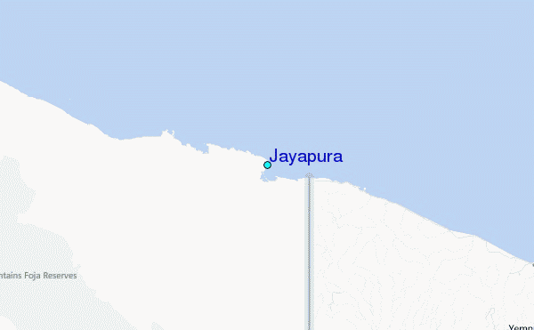