
| Distance / Altitude | Location | Report Date / Time | Live Weather | Wind | Gusts | Temp. | Visibility | Cloud |
|---|---|---|---|---|---|---|---|---|
| 2 km SSE / 7 m | Downtown Manhattan/Wall Street Heliport Airport (New york) | 2026-08-03 10:29 local (2026/08/03 14:29 GMT) | Light rain | moderate winds from the SW.(Wind varies from 016 to 029 degs) (20 km/h at 230) | — | 14 | few broken overcast | |
| 3 km SE / 3 m | BUOY-BATN6 (Marine) | 2026-08-03 11:00 local (2026/08/03 15:00 GMT) | - (- km/h at -) | 24°C | - | |||
| 7 km S / 3 m | BUOY-ROBN4 (Marine) | 2026-08-03 11:00 local (2026/08/03 15:00 GMT) | moderate winds from the SW (28 km/h at 220) | 24°C | - | |||
| 9 km NE / 219 m | New Your City/Central Park Airport (New York) | 2026-08-03 11:25 local (2026/08/03 15:25 GMT) | Light rain | light winds from the SW.(Wind varies from 190 to 270 degs) (13 km/h at 230) | 23°C | 5 | few broken | |
| 12 km SW / 218 m | Newark Airport (New Jersey) | 2026-08-03 09:51 local (2026/08/03 13:51 GMT) | Light rain | moderate winds from the SSW (20 km/h at 200) | 24°C | 3 | few broken | |
| 13 km SSE / 7 m | thunderstorm affecting Brooklyn (United States) | 2026-08-03 10:05 local (2026/08/03 14:05 GMT) | Thunderstorm | (- km/h at -) | — | |||
| 14 km S / 3 m | SHIP985 (Marine) | 2026-08-03 09:00 local (2026/08/03 13:00 GMT) | - (- km/h at -) | — | - | |||
| 14 km S / 15 m | SHIP3261 (Marine) | 2026-08-03 09:00 local (2026/08/03 13:00 GMT) | - (- km/h at -) | — | - km | |||
| 14 km S / 3 m | SHIP344 (Marine) | 2026-08-03 10:00 local (2026/08/03 14:00 GMT) | - (- km/h at -) | — | - | |||
| 14 km S / 15 m | SHIP7320 (Marine) | 2026-08-03 09:00 local (2026/08/03 13:00 GMT) | - (- km/h at -) | — | - km |
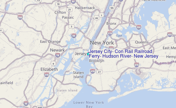
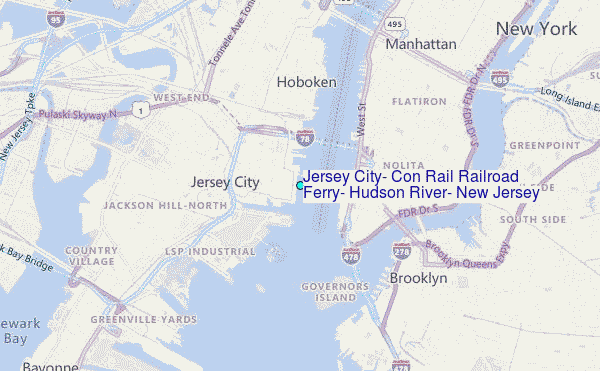
Choose Jersey City, Con Rail Railroad Ferry, Hudson River, New Jersey Location Map Zoom:
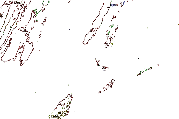
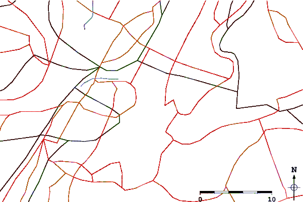
| Contours: | Roads & Rivers: | Select a
tide station / surf break / city |
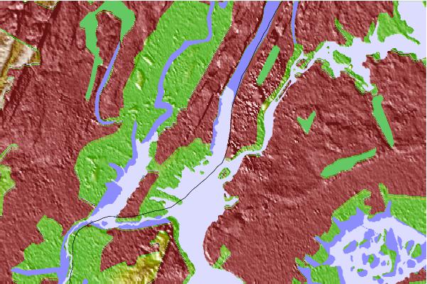
Use this relief map to navigate to tide stations, surf breaks and cities that are in the area of Jersey City, Con Rail Railroad Ferry, Hudson River, New Jersey.
Other Nearby Locations' tide tables and tide charts to Jersey City, Con Rail Railroad Ferry, Hudson River, New Jersey:
click location name for more details
 Surf breaks close to Jersey City, Con Rail Railroad Ferry, Hudson River, New Jersey:
|
||
|---|---|---|
| Closest surf break | Rockaway | 14 mi |
| Second closest surf break | 92nd Street | 15 mi |
| Third closest surf break | Jones Beach | 18 mi |
| Fourth closest surf break | The Cove at Sandy Hook | 19 mi |
| Fifth closest surf break | Connecticut Street Jetty | 20 mi |


 Nearest
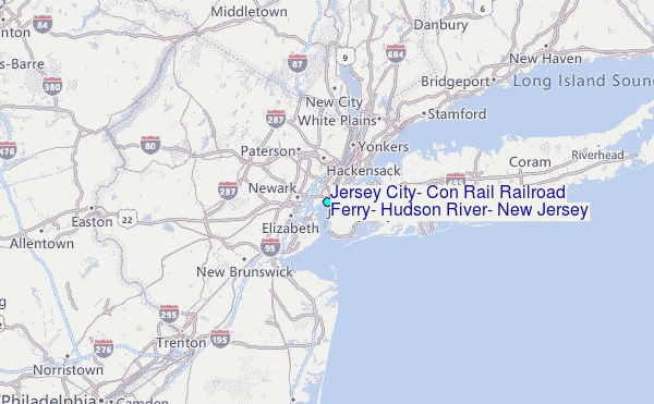