
| Distance / Altitude | Location | Report Date / Time | Live Weather | Wind | Gusts | Temp. | Visibility | Cloud |
|---|---|---|---|---|---|---|---|---|
| 70 km NNE / 53 m | Cotabato-Mindanao (Philippines) | 2026-07-10 02:00 local (2026/07/09 18:00 GMT) | distant precipitation but not falling at station | calm (4 km/h at 190) | 27°C | 12 | - - - | |
| 91 km NE / 48 m | Davao Airport (Philippines) | 2026-07-10 02:00 local (2026/07/09 18:00 GMT) | rain | light winds from the S (11 km/h at 190) | 29°C | 15 | - | |
| 102 km NW / 0 m | lightning 27km SSW of Imelda (Philippines) | 2026-07-10 03:48 local (2026/07/09 19:48 GMT) | Thunderstorm | (- km/h at -) | — | |||
| 131 km NW / 0 m | lightning 4km NE of Dimataling (Philippines) | 2026-07-10 03:01 local (2026/07/09 19:01 GMT) | Thunderstorm | (- km/h at -) | — | |||
| 131 km N / 702 m | lightning 8km NNW of Marogong (Philippines) | 2026-07-10 02:30 local (2026/07/09 18:30 GMT) | Thunderstorm | (- km/h at -) | — | |||
| 134 km ESE / 15 m | General Santos International Airport (Paliparang Pandaigdig ng Heneral Santos) (Philippines) | 2026-07-10 02:00 local (2026/07/09 18:00 GMT) | no report | wind obs. (7 kph from 120 degs) was rejected (- km/h at -) | 27°C | 18 | - | |
| 134 km ESE / 15 m | General Santos City (Philippines) | 2026-07-10 02:00 local (2026/07/09 18:00 GMT) | no report | wind obs. (7 kph from 120 degs) was rejected (- km/h at -) | 27°C | 18 | - | |
| 135 km N / 944 m | lightning 10km SW of Ganassi (Philippines) | 2026-07-10 03:16 local (2026/07/09 19:16 GMT) | Thunderstorm | (- km/h at -) | — | |||
| 187 km ENE / 293 m | Davao/Francisco Bangoy International Airport (Philippines) | 2026-07-10 02:00 local (2026/07/09 18:00 GMT) | Shower light rain shower | wind obs. (22 kph from 180 degs) was rejected (- km/h at -) | 27°C | 9.0 | few broken | |
| 187 km ENE / 293 m | Davao/Francisco Bangoy International Airport (Philippines) | 2026-07-10 02:00 local (2026/07/09 18:00 GMT) | Shower light rain shower | wind obs. (22 kph from 180 degs) was rejected (- km/h at -) | 27°C | 9.0 | few broken |
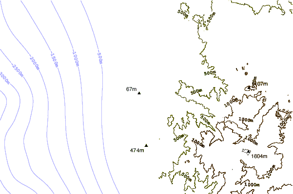
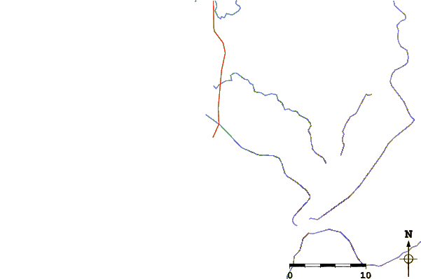
| Contours: | Roads & Rivers: | Select a
tide station / surf break / city |
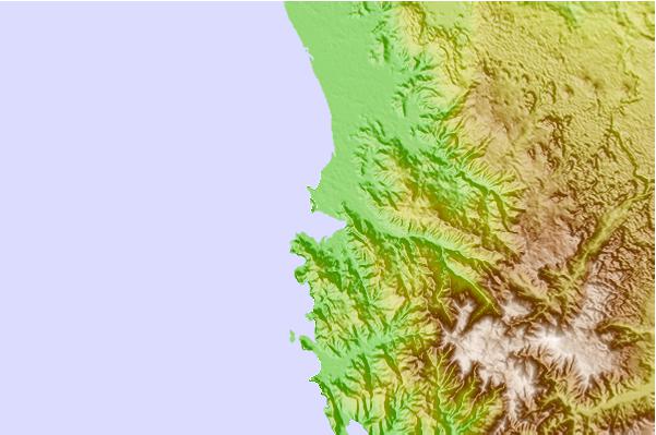
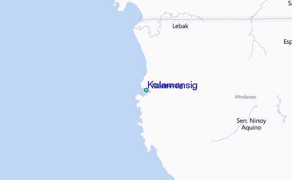
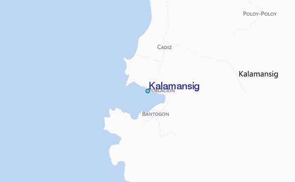
Use this relief map to navigate to tide stations, surf breaks and cities that are in the area of Kalamansig.
Other Nearby Locations' tide tables and tide charts to Kalamansig:
click location name for more details
 Surf breaks close to Kalamansig:
|
||
|---|---|---|
| Closest surf break | Tago River | 227 mi |
| Second closest surf break | Marami Beach | 227 mi |
| Third closest surf break | Lanuza Rivermouth | 231 mi |
| Fourth closest surf break | Random Beach Break | 232 mi |
| Fifth closest surf break | Big Star | 234 mi |


 Nearest
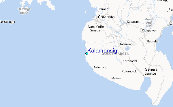