
| Distance / Altitude | Location | Report Date / Time | Live Weather | Wind | Gusts | Temp. | Visibility | Cloud |
|---|---|---|---|---|---|---|---|---|
| 36 km NW / 8 m | Batticaloa (Sri Lanka) | 2026-07-09 23:30 local (2026/07/09 18:00 GMT) | no report | calm (4 km/h at 50) | 32°C | 20 | - | |
| 59 km S / 8 m | Pottuvil (Sri Lanka) | 2026-07-09 23:30 local (2026/07/09 18:00 GMT) | no report | light winds from the SW (7 km/h at 220) | 37°C | - | - | |
| 97 km SW / 670 m | Badulla (Sri Lanka) | 2026-07-09 23:30 local (2026/07/09 18:00 GMT) | no report | calm (4 km/h at 10) | 27°C | 20 | - | |
| 112 km SSW / 1225 m | Bandarawela (Sri Lanka) | 2026-07-09 23:30 local (2026/07/09 18:00 GMT) | no report | light winds from the W (7 km/h at 270) | 27°C | 20 | - | |
| 126 km SW / 1895 m | Nuwara Eliya (Sri Lanka) | 2026-07-09 23:30 local (2026/07/09 18:00 GMT) | no report | light winds from the W (14 km/h at 280) | 17°C | - | - - - | |
| 131 km WSW / 477 m | Kandy (Sri Lanka) | 2026-07-09 23:30 local (2026/07/09 18:00 GMT) | clouds developing | wind obs. (7 kph from 200 degs) was rejected (- km/h at -) | 28°C | 20 | - | |
| 143 km NW / 79 m | Trincomalee (Sri Lanka) | 2026-07-09 23:30 local (2026/07/09 18:00 GMT) | no report | light winds from the SW (11 km/h at 230) | 35°C | 20 | - | |
| 146 km S / 7 m | Mattala Rajapaksa International Airport (Sri lanka) | 2026-07-09 23:40 local (2026/07/09 18:10 GMT) | - | light winds from the WSW (9 km/h at 240) | — | 0.0 | ||
| 157 km S / 15 m | SHIP3247 (Marine) | 2026-07-09 23:30 local (2026/07/09 18:00 GMT) | strong winds from the W (40.68000000000001 km/h at 280) | 30°C | - km | |||
| 160 km WSW / 116 m | Kurunegala (Sri Lanka) | 2026-07-09 23:30 local (2026/07/09 18:00 GMT) | clouds developing | light winds from the SW (11 km/h at 230) | 31°C | 20 | - |
| Contours: | Roads & Rivers: | Select a
tide station / surf break / city |
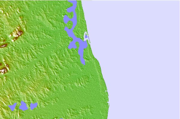
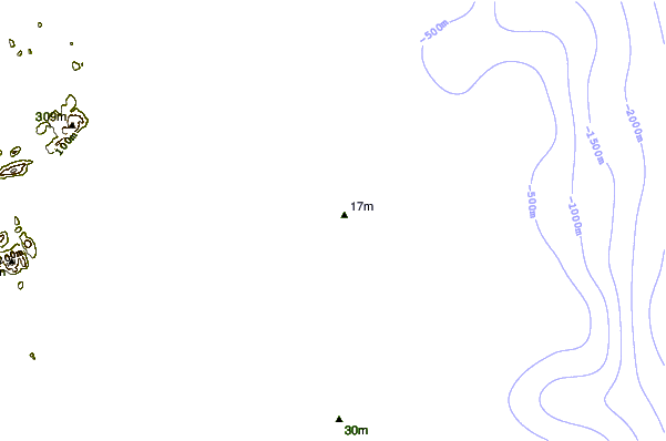
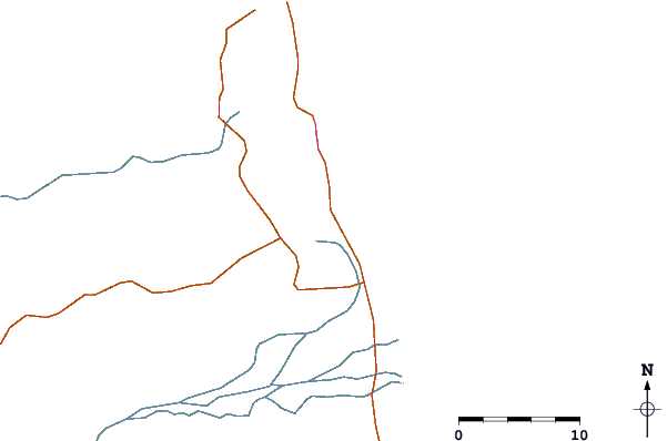
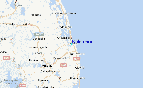
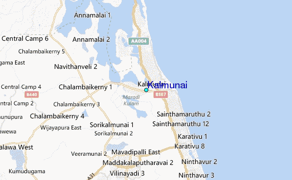
Use this relief map to navigate to tide stations, surf breaks and cities that are in the area of Kalmunai.
Other Nearby Locations' tide tables and tide charts to Kalmunai:
click location name for more details
 Surf breaks close to Kalmunai:
|
||
|---|---|---|
| Closest surf break | Whiskey Point | 35 mi |
| Second closest surf break | Pottuvil Point | 36 mi |
| Third closest surf break | Peanut Farm Point | 37 mi |
| Fourth closest surf break | Arugam Bay | 40 mi |
| Fifth closest surf break | Elephant Rock | 42 mi |


 Nearest
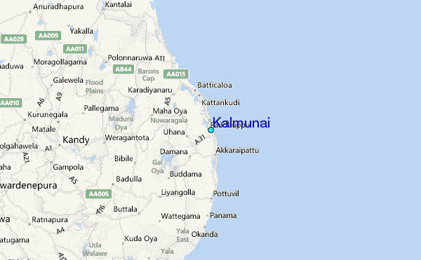