
| Distance / Altitude | Location | Report Date / Time | Live Weather | Wind | Gusts | Temp. | Visibility | Cloud |
|---|---|---|---|---|---|---|---|---|
| 25 km W / 218 m | Molokai Airport (Hawaii) | 2026-07-13 15:54 local (2026/07/14 01:54 GMT) | Clear | fresh winds from the ENE (30 km/h at 70) | 27°C | 16 | ||
| 32 km S / 650 m | Lanai City Airport (Hawaii) | 2026-07-13 15:56 local (2026/07/14 01:56 GMT) | Clear | fresh winds from the NE (33 km/h at 40) | 27°C | 16 | ||
| 43 km ESE / 235 m | Wailuku Heights wx (United States) | 2026-07-13 17:48 local (2026/07/14 03:48 GMT) | dry | light winds from the E (16 km/h at 79) | 23°C | - | - - 0 | |
| 46 km ESE / 3 m | BUOY-KLIH1 (Marine) | 2026-07-13 17:00 local (2026/07/14 03:00 GMT) | light winds from the ENE (13 km/h at 70) | 26°C | - | |||
| 47 km ESE / 1 m | Kahului wx (United States) | 2026-07-13 17:46 local (2026/07/14 03:46 GMT) | dry | wind obs. (18 kph from 339 degs) was rejected (- km/h at -) | 27°C | - | - - 0 | |
| 48 km E / 3 m | Pauwela- Maui- HI (Marine) | 2026-07-13 17:26 local (2026/07/14 03:26 GMT) | - (- km/h at -) | — | - | |||
| 50 km ESE / 218 m | Kahului Airport (Hawaii) | 2026-07-13 15:54 local (2026/07/14 01:54 GMT) | - | wind obs. (33 kph from 20 degs) was rejected (- km/h at -) | 28°C | 16 | few | |
| 56 km SE / 27 m | Kīhei wx (United States) | 2026-07-13 16:36 local (2026/07/14 02:36 GMT) | dry | wind obs. (11 kph from 313 degs) was rejected (- km/h at -) | 28°C | - | - - 0 | |
| 61 km ESE / 312 m | Haiku (Hawaii) | 2026-07-13 17:24 local (2026/07/14 03:24 GMT) | dry | wind obs. (6 kph from 115 degs) was rejected (- km/h at -) | 23°C | - | - - 0 | |
| 63 km ESE / 457 m | Makawao wx (United States) | 2026-07-13 17:42 local (2026/07/14 03:42 GMT) | dry | light winds from the NNE (16 km/h at 12) | 23°C | - | - - 0 |
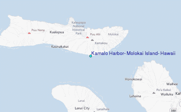
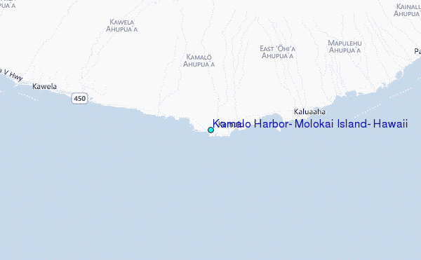
Choose Kamalo Harbor, Molokai Island, Hawaii Location Map Zoom:
| Contours: | Roads & Rivers: | Select a
tide station / surf break / city |
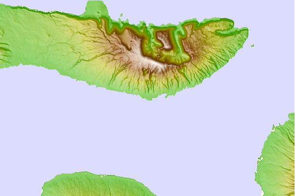
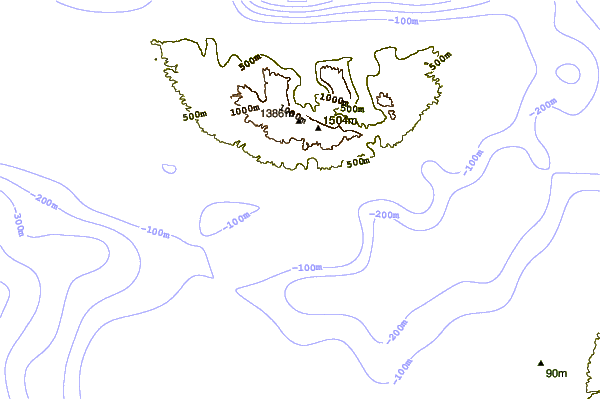
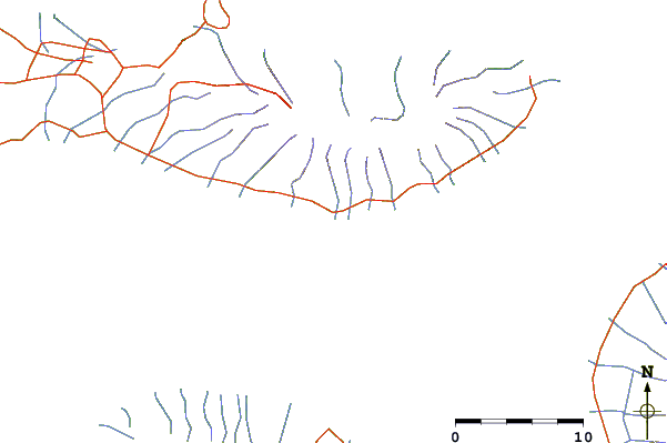
Use this relief map to navigate to tide stations, surf breaks and cities that are in the area of Kamalo Harbor, Molokai Island, Hawaii.
Other Nearby Locations' tide tables and tide charts to Kamalo Harbor, Molokai Island, Hawaii:
click location name for more details
 Surf breaks close to Kamalo Harbor, Molokai Island, Hawaii:
|
||
|---|---|---|
| Closest surf break | Kawela | 4 mi |
| Second closest surf break | Waialua Rivermouth | 9 mi |
| Third closest surf break | The Wharf Lefts | 10 mi |
| Fourth closest surf break | The Wharf Rights | 10 mi |
| Fifth closest surf break | Rock Point/Pohakuloa | 11 mi |


 Nearest
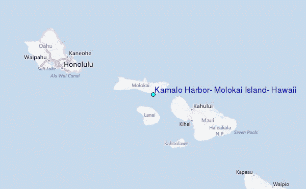