
| Distance / Altitude | Location | Report Date / Time | Live Weather | Wind | Gusts | Temp. | Visibility | Cloud |
|---|---|---|---|---|---|---|---|---|
| 352 km SW / 217 m | Hasanuddin/Ujung Airport (Indonesia) | 2026-07-10 02:30 local (2026/07/09 18:30 GMT) | - | calm (2 km/h at 1) | 23°C | 8.0 | few | |
| 609 km NE / 15 m | SHIP3419 (Marine) | 2026-07-10 02:00 local (2026/07/09 18:00 GMT) | strong winds from the SSE (44.64 km/h at 160) | 26°C | 17.7 km | |||
| 618 km E / 12 m | Ambon-Pattimura (Indonesia) | 2026-07-10 02:30 local (2026/07/09 18:30 GMT) | Dry and partly cloudy | calm (4 km/h at 200) | 25°C | 10.0 | scattered | |
| 641 km E / 1 m | Leahari wx (Indonesia) | 2026-07-10 03:17 local (2026/07/09 19:17 GMT) | - | - (- km/h at ) | 27°C | - | - - 0 | |
| 664 km NNE / 374 m | Menado/Sam Ratulangi International Airport (Indonesia) | 2026-07-10 02:30 local (2026/07/09 18:30 GMT) | - | light winds from the S (11 km/h at 170) | 28°C | 10.0 | few | |
| 661 km NNE / 374 m | Menado/Sam Ratulangi International Airport (Indonesia) | 2026-07-10 02:30 local (2026/07/09 18:30 GMT) | - | light winds from the S (11 km/h at 170) | 28°C | 10.0 | few | |
| 689 km W / 3 m | Sepinggan Airport (Indonesia) | 2026-07-10 02:30 local (2026/07/09 18:30 GMT) | Dry and partly cloudy | light winds from the SW.(Wind varies from 190 to 300 degs) (19 km/h at 230) | 28°C | 10.0 | scattered - - | |
| 694 km N / 0 m | lightning 246km NW of Gorontalo (Indonesia) | 2026-07-10 01:03 local (2026/07/09 17:03 GMT) | Thunderstorm | (- km/h at -) | — | |||
| 700 km S / 102 m | El Tari International Airport (Kupang) (Indonesia) | 2026-07-10 02:30 local (2026/07/09 18:30 GMT) | Dry and partly cloudy | light winds from the ESE (11 km/h at 110) | 24°C | 10.0 | no cloud - - | |
| 708 km NW / 15 m | SHIP5971 (Marine) | 2026-07-10 02:00 local (2026/07/09 18:00 GMT) | near gales from the SSW (55.440000000000005 km/h at 210) | 30°C | 17.7 km |
| Contours: | Roads & Rivers: | Select a
tide station / surf break / city |
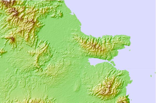
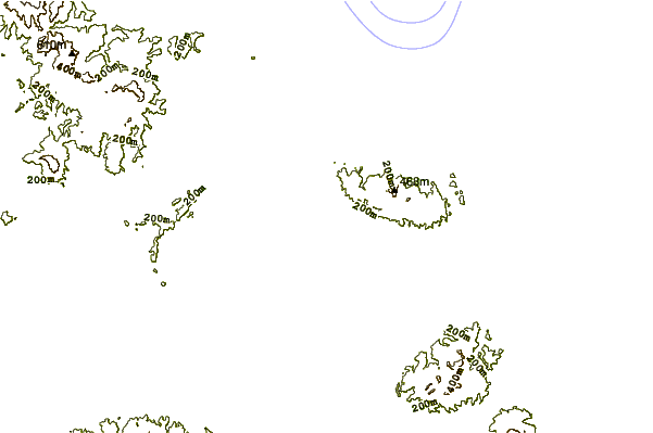
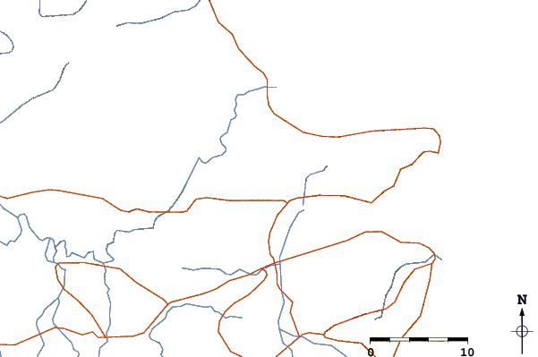
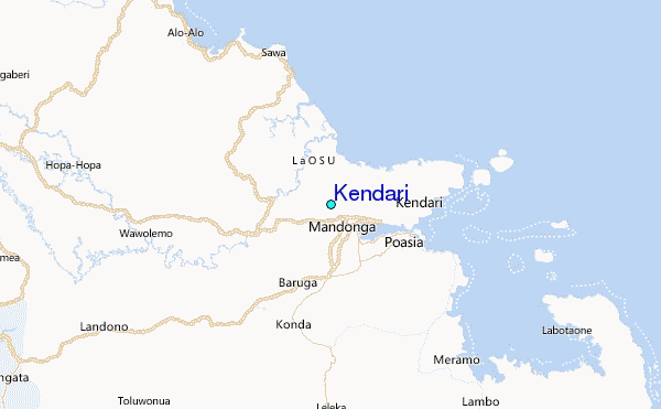
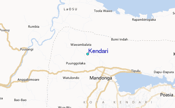
Use this relief map to navigate to tide stations, surf breaks and cities that are in the area of Kendari.
Other Nearby Locations' tide tables and tide charts to Kendari:
click location name for more details
 Surf breaks close to Kendari:
|
||
|---|---|---|
| Closest surf break | Digger | 420 mi |
| Second closest surf break | Periscope Point | 438 mi |
| Third closest surf break | Lakey Peak | 439 mi |
| Fourth closest surf break | Lakey Pipe | 439 mi |
| Fifth closest surf break | Nungas | 439 mi |


 Nearest
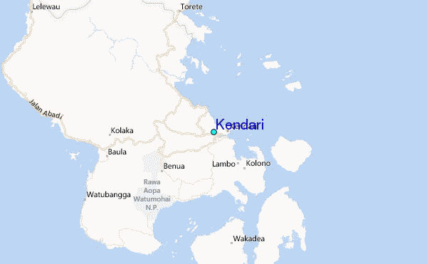