
| Distance / Altitude | Location | Report Date / Time | Live Weather | Wind | Gusts | Temp. | Visibility | Cloud |
|---|---|---|---|---|---|---|---|---|
| 6 km SW / 3 m | BUOY-WEXM1 (Marine) | 2026-07-27 14:00 local (2026/07/27 18:00 GMT) | light winds from the ESE (8 km/h at 120) | 21°C | - | |||
| 20 km WSW / 186 m | Sanford Municipal Airport (Maine) | 2026-07-27 13:56 local (2026/07/27 17:56 GMT) | Clear | light winds from the SE.(Wind varies from 090 to 180 degs) (13 km/h at 130) | 26°C | 16 | ||
| 20 km S / 3 m | Western Maine Shelf Buoy (Marine) | 2026-07-27 13:30 local (2026/07/27 17:30 GMT) | light winds from the ESE (7 km/h at 120) | 19°C | - | |||
| 31 km NNE / 23 m | Pleasant Hill wx (United States) | 2026-07-27 14:07 local (2026/07/27 18:07 GMT) | dry | calm (2 km/h at 323) | 24°C | - | - - 0 | |
| 32 km NE / 20 m | Cape Elizabeth (Maine) | 2026-07-27 15:04 local (2026/07/27 19:04 GMT) | dry | wind obs. (8 kph from 242 degs) was rejected (- km/h at -) | 22°C | - | - - 0 | |
| 32 km NE / 12 m | Cape Elizabeth (Maine) | 2026-07-27 12:46 local (2026/07/27 16:46 GMT) | dry | calm (2 km/h at 134) | 23°C | - | - - 0 | |
| 33 km NE / 3 m | Portland Buoy (Marine) | 2026-07-27 14:50 local (2026/07/27 18:50 GMT) | light winds from the SSE (14 km/h at 150) | 19°C | - | |||
| 35 km NNE / 28 m | South Portland (Maine) | 2026-07-27 14:41 local (2026/07/27 18:41 GMT) | dry | calm (5 km/h at 101) | 26°C | - | - - 0 | |
| 35 km NNE / 218 m | Portland Airport (Maine) | 2026-07-27 13:51 local (2026/07/27 17:51 GMT) | Clear | light winds from the SSE (13 km/h at 150) | 26°C | 16 | ||
| 37 km S / 3 m | BUOY-CMLN3 (Marine) | 2026-07-27 14:00 local (2026/07/27 18:00 GMT) | light winds from the SE (11 km/h at 130) | 22°C | - |
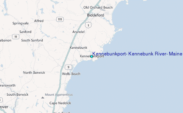
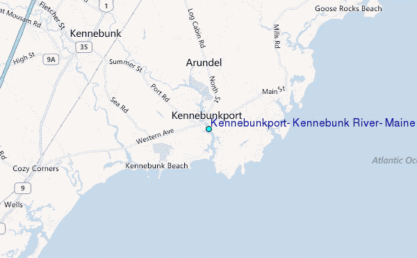
Choose Kennebunkport, Kennebunk River, Maine Location Map Zoom:
| Contours: | Roads & Rivers: | Select a
tide station / surf break / city |
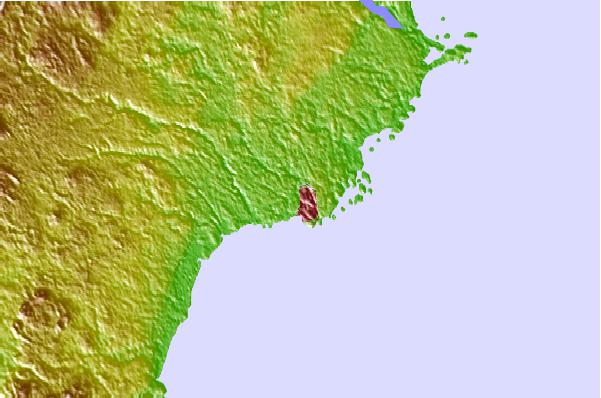
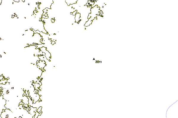
Use this relief map to navigate to tide stations, surf breaks and cities that are in the area of Kennebunkport, Kennebunk River, Maine.
Other Nearby Locations' tide tables and tide charts to Kennebunkport, Kennebunk River, Maine:
click location name for more details
 Surf breaks close to Kennebunkport, Kennebunk River, Maine:
|
||
|---|---|---|
| Closest surf break | Kennebunk Beach | 2 mi |
| Second closest surf break | Wells Jetties | 5 mi |
| Third closest surf break | Wells Beach | 6 mi |
| Fourth closest surf break | Moody Point | 7 mi |
| Fifth closest surf break | Fortunes Rocks Beach | 8 mi |


 Nearest
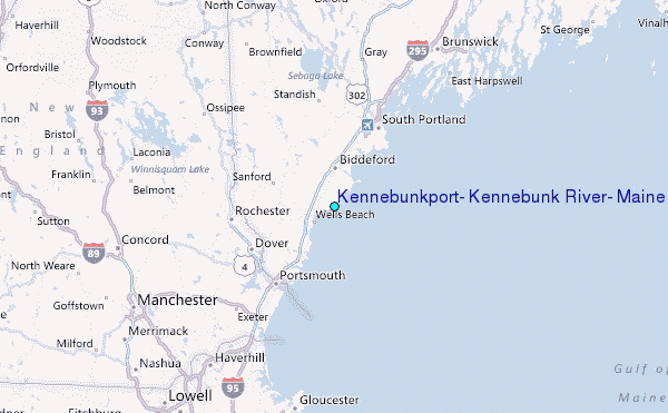