
| Distance / Altitude | Location | Report Date / Time | Live Weather | Wind | Gusts | Temp. | Visibility | Cloud |
|---|---|---|---|---|---|---|---|---|
| 115 km SW / 15 m | hy2c145E8S (Marine) | 2026-07-10 04:14 local (2026/07/09 18:14 GMT) | fresh winds from the SE (33 km/h at 140) | — | - km | |||
| 153 km SW / 15 m | hy2c144E8S (Marine) | 2026-07-10 04:14 local (2026/07/09 18:14 GMT) | fresh winds from the SE (31 km/h at 142) | — | - km | |||
| 156 km S / 15 m | hy2c146E9S (Marine) | 2026-07-10 04:14 local (2026/07/09 18:14 GMT) | fresh winds from the SE (37 km/h at 138) | — | - km | |||
| 189 km NE / 15 m | SHIP5935 (Marine) | 2026-07-10 04:00 local (2026/07/09 18:00 GMT) | - (- km/h at -) | — | - km | |||
| 189 km NE / 70 m | Nadzab (Papua New Guinea) | 2026-07-10 05:00 local (2026/07/09 19:00 GMT) | rain | - (- km/h at -) | 25°C | 30 | - - - | |
| 189 km NE / 15 m | SHIP5935 (Marine) | 2026-07-10 04:00 local (2026/07/09 18:00 GMT) | - (- km/h at -) | — | - km | |||
| 189 km NE / 3 m | SHIP4330 (Marine) | 2026-07-10 06:00 local (2026/07/09 20:00 GMT) | - (- km/h at -) | 24°C | - | |||
| 189 km NE / 15 m | SHIP3933 (Marine) | 2026-07-10 04:00 local (2026/07/09 18:00 GMT) | - (- km/h at -) | — | - km | |||
| 189 km NE / 15 m | SHIP7147 (Marine) | 2026-07-10 04:00 local (2026/07/09 18:00 GMT) | - (- km/h at -) | — | - km | |||
| 189 km NE / 15 m | SHIP1501 (Marine) | 2026-07-10 04:00 local (2026/07/09 18:00 GMT) | - (- km/h at -) | — | - km |
| Contours: | Roads & Rivers: | Select a
tide station / surf break / city |
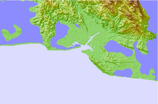
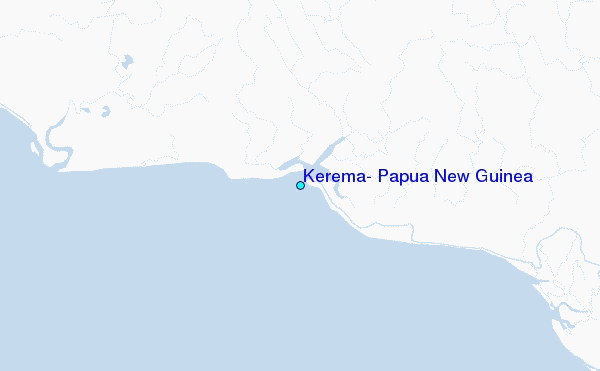
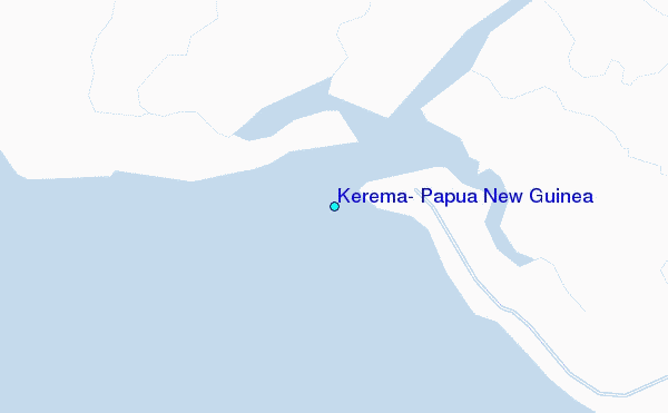
Use this relief map to navigate to tide stations, surf breaks and cities that are in the area of Kerema, Papua New Guinea.
Other Nearby Locations' tide tables and tide charts to Kerema, Papua New Guinea:
click location name for more details
 Surf breaks close to Kerema, Papua New Guinea:
|
||
|---|---|---|
| Closest surf break | Tupira Right | 244 mi |
| Second closest surf break | Forok Point | 330 mi |
| Third closest surf break | Moem Point | 336 mi |
| Fourth closest surf break | The Wharf (Mission Point) | 336 mi |
| Fifth closest surf break | Wewak Point | 338 mi |


 Nearest
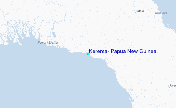