
| Distance / Altitude | Location | Report Date / Time | Live Weather | Wind | Gusts | Temp. | Visibility | Cloud |
|---|---|---|---|---|---|---|---|---|
| 8 km SSE / 191 m | Kingston/Norman Manley International Airport (Jamaica) | 2026-07-09 13:00 local (2026/07/09 18:00 GMT) | - | fresh winds from the ESE (33 km/h at 120) | 33°C | |||
| 82 km NW / 0 m | lightning 25km NNE of Runaway Bay (Jamaica) | 2026-07-09 12:32 local (2026/07/09 17:32 GMT) | Thunderstorm | (- km/h at -) | — | |||
| 131 km W / 193 m | Sangster/Montego Bay Airport (Jamaica) | 2026-07-09 13:00 local (2026/07/09 18:00 GMT) | Dry and partly cloudy | fresh winds from the E (30 km/h at 90) | 33°C | 10.0 | scattered few | |
| 192 km ESE / 0 m | lightning 135km E of Dalvey (Jamaica) | 2026-07-09 14:18 local (2026/07/09 19:18 GMT) | Thunderstorm | (- km/h at -) | — | |||
| 200 km ESE / 0 m | lightning 138km SSW of Tiburon (Haiti) | 2026-07-09 14:04 local (2026/07/09 19:04 GMT) | Thunderstorm | (- km/h at -) | — | |||
| 220 km ENE / 0 m | lightning 40km WNW of Les Irois (Haiti) | 2026-07-09 14:50 local (2026/07/09 19:50 GMT) | Thunderstorm | (- km/h at -) | — | |||
| 241 km NNE / 209 m | Santiago De Cuba Airport (Cuba) | 2026-07-09 12:50 local (2026/07/09 17:50 GMT) | - | moderate winds from the SE.(Wind varies from 090 to 170 degs) (20 km/h at 130) | 32°C | 9.0 | few | |
| 259 km ENE / 0 m | lightning 14km NNW of Dame-Marie (Haiti) | 2026-07-09 14:48 local (2026/07/09 19:48 GMT) | Thunderstorm | (- km/h at -) | — | |||
| 263 km ENE / 329 m | lightning 8km SW of Chambellan (Haiti) | 2026-07-09 14:34 local (2026/07/09 19:34 GMT) | Thunderstorm | (- km/h at -) | — | |||
| 268 km NE / 203 m | Guantanamo Bay Airport (Cuba) | 2026-07-09 12:51 local (2026/07/09 17:51 GMT) | - | strong winds from the E (43 km/h at 90) | 33°C | 14 | few few |
| Contours: | Roads & Rivers: | Select a
tide station / surf break / city |
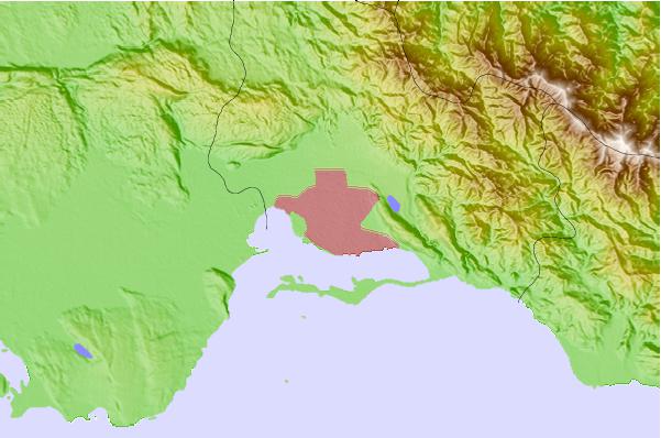
Use this relief map to navigate to tide stations, surf breaks and cities that are in the area of Kingston.
Other Nearby Locations' tide tables and tide charts to Kingston:
click location name for more details
 Surf breaks close to Kingston:
|
||
|---|---|---|
| Closest surf break | Lighthouse 2 | 4 mi |
| Second closest surf break | Zoo (Bull Bay) | 6 mi |
| Third closest surf break | Copa (Bull Bay) | 7 mi |
| Fourth closest surf break | Makka | 17 mi |
| Fifth closest surf break | Peenie Wally | 19 mi |


 Nearest