
| Distance / Altitude | Location | Report Date / Time | Live Weather | Wind | Gusts | Temp. | Visibility | Cloud |
|---|---|---|---|---|---|---|---|---|
| 2 km WSW / 3 m | Kiritimati Airport (Christmas Island) (Kiribati) | 2026-07-07 23:00 local (2026/07/07 09:00 GMT) | - | light winds from the ESE (7 km/h at 120) | 24°C | |||
| 69 km NE / 15 m | ASCATB203E2N (Marine) | 2026-07-07 21:43 local (2026/07/07 07:43 GMT) | light winds from the ESE (13 km/h at 103) | — | - km | |||
| 85 km SE / 15 m | ASCATB203E1N (Marine) | 2026-07-07 21:42 local (2026/07/07 07:42 GMT) | light winds from the ESE (17 km/h at 119) | — | - km | |||
| 93 km WNW / 15 m | ASCATB202E2N (Marine) | 2026-07-07 21:43 local (2026/07/07 07:43 GMT) | light winds from the SE (14 km/h at 128) | — | - km | |||
| 127 km SW / 15 m | ASCATB202E1N (Marine) | 2026-07-07 21:43 local (2026/07/07 07:43 GMT) | light winds from the SSE (17 km/h at 156) | — | - km | |||
| 129 km ESE / 15 m | ASCATB204E1N (Marine) | 2026-07-07 21:42 local (2026/07/07 07:42 GMT) | light winds from the ESE (17 km/h at 122) | — | - km | |||
| 138 km W / 15 m | ASCATB201E2N (Marine) | 2026-07-07 21:43 local (2026/07/07 07:43 GMT) | light winds from the SE (13 km/h at 125) | — | - km | |||
| 165 km ENE / 15 m | ASCATB204E2N (Marine) | 2026-07-07 21:43 local (2026/07/07 07:43 GMT) | light winds from the SE (18 km/h at 133) | — | - km | |||
| 166 km N / 15 m | ASCATB203E3N (Marine) | 2026-07-07 21:43 local (2026/07/07 07:43 GMT) | light winds from the E (12 km/h at 99) | — | - km | |||
| 167 km S / 15 m | ASCATB203E0N (Marine) | 2026-07-07 21:42 local (2026/07/07 07:42 GMT) | light winds from the ESE (18 km/h at 108) | — | - km |
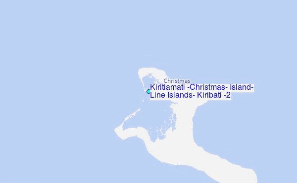
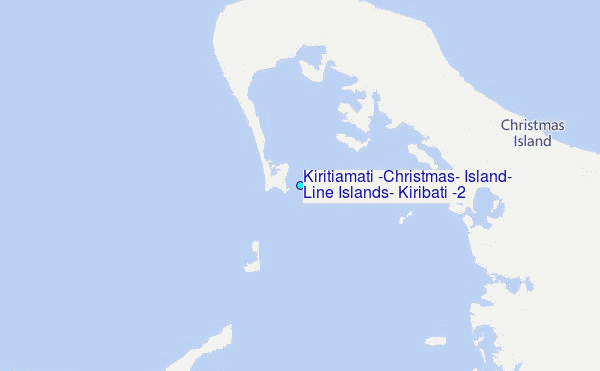
Choose Kiritiamati (Christmas) Island, Line Islands, Kiribati (2) Location Map Zoom:
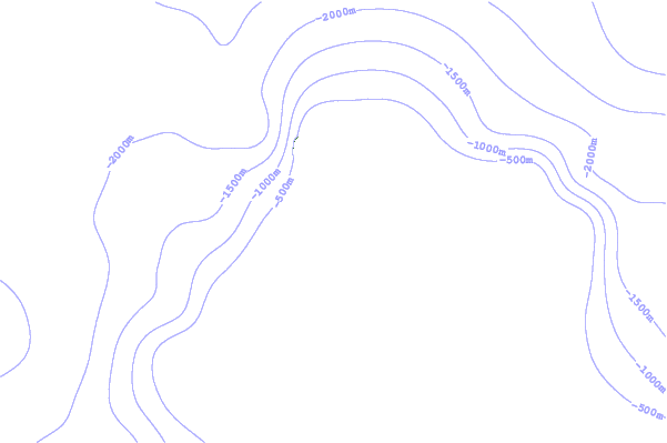
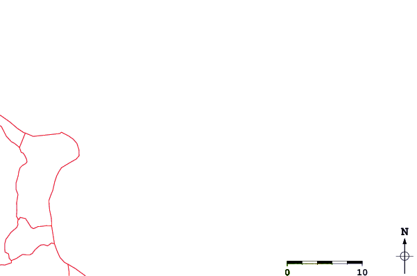
| Contours: | Roads & Rivers: | Select a
tide station / surf break / city |
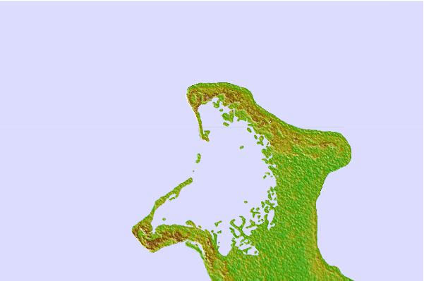
Use this relief map to navigate to tide stations, surf breaks and cities that are in the area of Kiritiamati (Christmas) Island, Line Islands, Kiribati (2).
Other Nearby Locations' tide tables and tide charts to Kiritiamati (Christmas) Island, Line Islands, Kiribati (2):
click location name for more details
 Surf breaks close to Kiritiamati (Christmas) Island, Line Islands, Kiribati (2):
|
||
|---|---|---|
| Closest surf break | English Channel Left (Fanning Island) | 185 mi |
| Second closest surf break | Kaalualu Point | 1178 mi |
| Third closest surf break | Kahuku Ranch | 1179 mi |
| Fourth closest surf break | The Point_Punaluu | 1182 mi |
| Fifth closest surf break | Punaluu | 1183 mi |


 Nearest
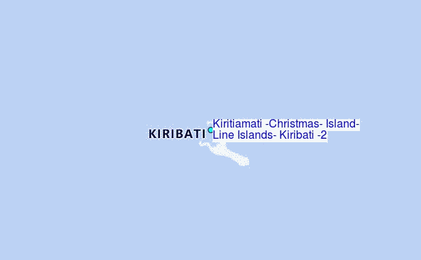