
| Distance / Altitude | Location | Report Date / Time | Live Weather | Wind | Gusts | Temp. | Visibility | Cloud |
|---|---|---|---|---|---|---|---|---|
| 4 km WSW / 7 m | KO Lanta (Thailand) | 2026-07-27 12:00 local (2026/07/27 05:00 GMT) | no report | light winds from the WNW (17 km/h at 300) | 29°C | - | - - - | |
| 58 km E / 1 m | Trang Airport (Thailand) | 2026-07-27 12:00 local (2026/07/27 05:00 GMT) | no report | light winds from the WNW (15 km/h at 300) | 31°C | - | - - - | |
| 59 km E / 152 m | Trang (Thailand) | 2026-07-27 11:00 local (2026/07/27 04:00 GMT) | Dry and partly cloudy | light winds from the WSW (17 km/h at 250) | 31°C | 10.0 | scattered scattered - | |
| 64 km N / 324 m | Krabi Airport (Thailand) | 2026-07-27 11:00 local (2026/07/27 04:00 GMT) | Dry and partly cloudy | light winds from the WSW.(Wind varies from 220 to 290 degs) (17 km/h at 250) | 32°C | 10.0 | scattered broken scattered | |
| 85 km W / 3 m | Phuket (Thailand) | 2026-07-27 12:00 local (2026/07/27 05:00 GMT) | no report | light winds from the W (11 km/h at 280) | 29°C | - | - | |
| 107 km WNW / 207 m | Phuket International Airport (Thailand) | 2026-07-27 11:30 local (2026/07/27 04:30 GMT) | - | moderate winds from the W (26 km/h at 260) | 32°C | 10.0 | few | |
| 109 km NNE / 30 m | Chawang (Thailand) | 2026-07-27 12:00 local (2026/07/27 05:00 GMT) | no report | calm (0 km/h at 230) | 27°C | - | - | |
| 109 km WNW / 9 m | Phuket Airport (Thailand) | 2026-07-27 12:00 local (2026/07/27 05:00 GMT) | no report | wind obs. (9 kph from 300 degs) was rejected (- km/h at -) | 29°C | - | - | |
| 116 km N / 14 m | Phrasang (Thailand) | 2026-07-27 12:00 local (2026/07/27 05:00 GMT) | no report | calm (4 km/h at 170) | 29°C | - | - | |
| 119 km E / 4 m | Phatthalung Agromet (Thailand) | 2026-07-27 12:00 local (2026/07/27 05:00 GMT) | no report | calm (0 km/h at 320) | 30°C | - | - - - |
| Contours: | Roads & Rivers: | Select a
tide station / surf break / city |
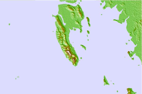
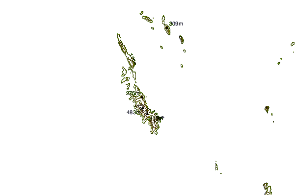
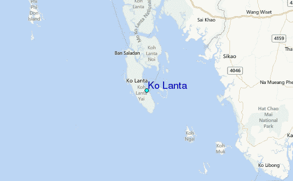
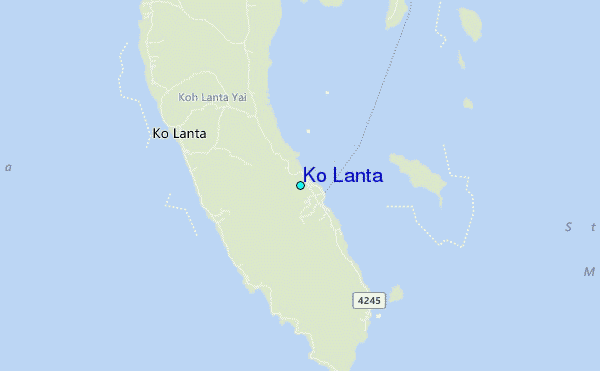
Use this relief map to navigate to tide stations, surf breaks and cities that are in the area of Ko Lanta.
Other Nearby Locations' tide tables and tide charts to Ko Lanta:
click location name for more details
 Surf breaks close to Ko Lanta:
|
||
|---|---|---|
| Closest surf break | Koh Lanta - Khlong Dao | 8 mi |
| Second closest surf break | Nai Harn Beach | 56 mi |
| Third closest surf break | Kata Noi | 57 mi |
| Fourth closest surf break | Kata Beach | 58 mi |
| Fifth closest surf break | Karon Beach | 58 mi |


 Nearest
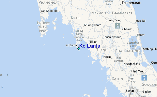