
| Distance / Altitude | Location | Report Date / Time | Live Weather | Wind | Gusts | Temp. | Visibility | Cloud |
|---|---|---|---|---|---|---|---|---|
| 163 km ESE / 15 m | SHIP2103 (Marine) | 2026-07-10 04:00 local (2026/07/09 18:00 GMT) | light winds from the E (18.36 km/h at 80) | 30°C | 17.7 km | |||
| 257 km WNW / 4 m | Kavieng W.o. (Papua New Guinea) | 2026-07-10 04:00 local (2026/07/09 18:00 GMT) | no report | moderate winds from the S (22 km/h at 180) | 30°C | 30 | - | |
| 523 km ESE / 3 m | Taro Island (Solomon Islands) | 2026-07-10 05:00 local (2026/07/09 19:00 GMT) | distant precipitation but not falling at station | wind obs. (11 kph from 140 degs) was rejected (- km/h at -) | 26°C | 20 | - | |
| 664 km SW / 70 m | Nadzab (Papua New Guinea) | 2026-07-10 04:00 local (2026/07/09 18:00 GMT) | rain | - (- km/h at -) | 25°C | 30 | - - - | |
| 698 km S / 23 m | Gurney (Papua New Guinea) | 2026-07-10 04:00 local (2026/07/09 18:00 GMT) | distant precipitation but not falling at station | - (- km/h at -) | 26°C | 30 | - - - | |
| 450 km S / 15 m | SHIP1535 (Marine) | 2026-07-10 04:00 local (2026/07/09 18:00 GMT) | fresh winds from the SE (38.88 km/h at 140) | 30°C | 17.7 km | |||
| 523 km ESE / 3 m | Taro Island (Solomon Islands) | 2026-07-10 05:00 local (2026/07/09 19:00 GMT) | distant precipitation but not falling at station | wind obs. (11 kph from 140 degs) was rejected (- km/h at -) | 26°C | 20 | - | |
| 640 km SW / 15 m | SHIP1586 (Marine) | 2026-07-10 05:00 local (2026/07/09 19:00 GMT) | - (- km/h at -) | — | - km | |||
| 645 km SW / 15 m | SHIP6851 (Marine) | 2026-07-10 03:00 local (2026/07/09 17:00 GMT) | - (- km/h at -) | — | - km | |||
| 645 km SW / 15 m | SHIP3934 (Marine) | 2026-07-10 03:00 local (2026/07/09 17:00 GMT) | - (- km/h at -) | — | - km |
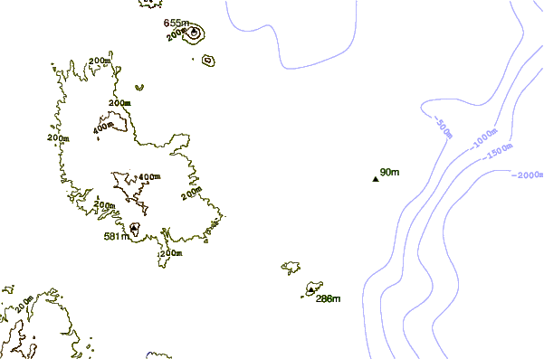
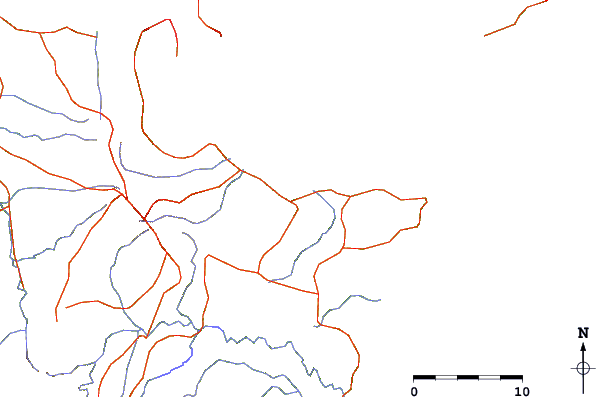
| Contours: | Roads & Rivers: | Select a
tide station / surf break / city |
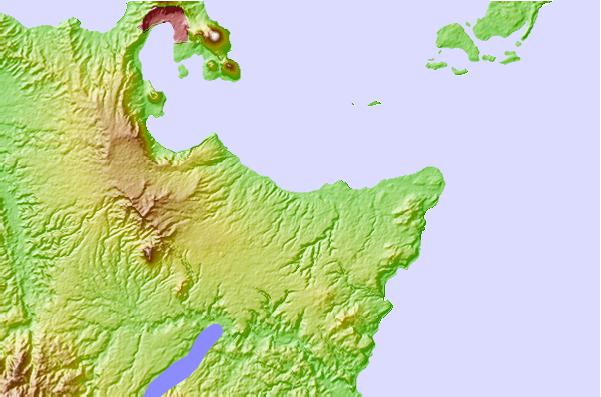
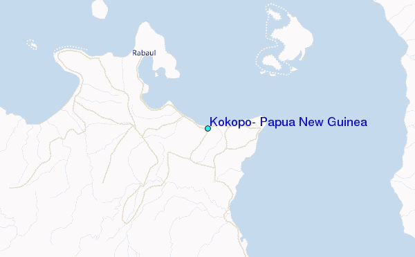
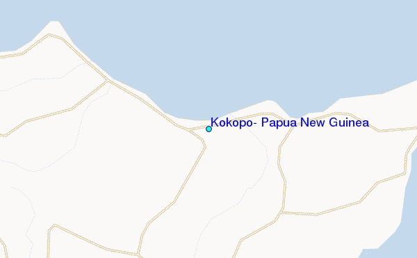
Use this relief map to navigate to tide stations, surf breaks and cities that are in the area of Kokopo, Papua New Guinea.
Other Nearby Locations' tide tables and tide charts to Kokopo, Papua New Guinea:
click location name for more details
 Surf breaks close to Kokopo, Papua New Guinea:
|
||
|---|---|---|
| Closest surf break | Raiven | 7 mi |
| Second closest surf break | Duke of York | 14 mi |
| Third closest surf break | Rubio | 62 mi |
| Fourth closest surf break | Simberi Island | 123 mi |
| Fifth closest surf break | Nago | 160 mi |


 Nearest
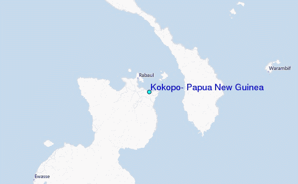