
| Distance / Altitude | Location | Report Date / Time | Live Weather | Wind | Gusts | Temp. | Visibility | Cloud |
|---|---|---|---|---|---|---|---|---|
| 18 km E / 15 m | SHIP1475 (Marine) | 2026-07-10 03:00 local (2026/07/09 18:00 GMT) | light winds from the SE (7.2 km/h at 130) | 24°C | - km | |||
| 18 km E / 3 m | BUOY-22103 South Korea (Marine) | 2026-07-10 04:00 local (2026/07/09 19:00 GMT) | light winds from the SE (7 km/h at 130) | 24°C | - | |||
| 90 km SSW / 217 m | Cheju International Airport (Korea) | 2026-07-10 03:00 local (2026/07/09 18:00 GMT) | - | calm (2 km/h at 240) | — | 0.0 | ||
| 138 km WNW / 2 m | Muan International Airport (Korea) | 2026-07-10 03:00 local (2026/07/09 18:00 GMT) | - | light winds from the ESE.(Wind varies from 090 to 150 degs) (7 km/h at 120) | 25°C | 10.0 | ||
| 157 km SSW / 3 m | BUOY-22107 South Korea (Marine) | 2026-07-10 04:00 local (2026/07/09 19:00 GMT) | moderate winds from the E (22 km/h at 90) | 25°C | - | |||
| 18 km E / 15 m | SHIP2377 (Marine) | 2026-07-10 02:00 local (2026/07/09 17:00 GMT) | light winds from the SSE (7.2 km/h at 160) | 24°C | - km | |||
| 18 km E / 15 m | SHIP2046 (Marine) | 2026-07-10 03:00 local (2026/07/09 18:00 GMT) | light winds from the SE (7.2 km/h at 130) | 24°C | - km | |||
| 18 km E / 15 m | SHIP6834 (Marine) | 2026-07-10 02:00 local (2026/07/09 17:00 GMT) | light winds from the SSE (7.2 km/h at 160) | 24°C | - km | |||
| 86 km NE / 15 m | SHIP1497 (Marine) | 2026-07-10 03:00 local (2026/07/09 18:00 GMT) | - (- km/h at -) | — | - km | |||
| 86 km NE / 15 m | SHIP2075 (Marine) | 2026-07-10 03:00 local (2026/07/09 18:00 GMT) | - (- km/h at -) | — | - km |
| Contours: | Roads & Rivers: | Select a
tide station / surf break / city |
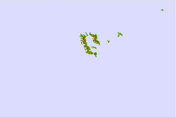
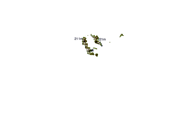
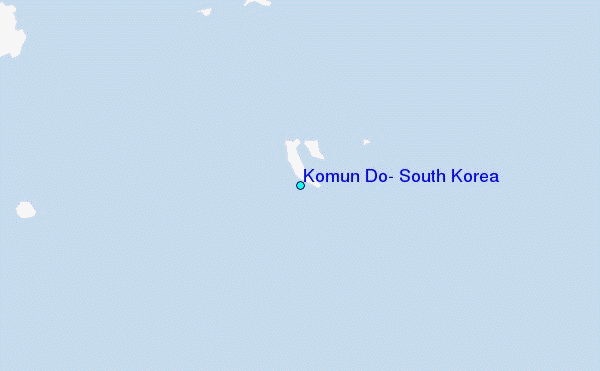
Use this relief map to navigate to tide stations, surf breaks and cities that are in the area of Komun Do, South Korea.
Other Nearby Locations' tide tables and tide charts to Komun Do, South Korea:
click location name for more details
 Surf breaks close to Komun Do, South Korea:
|
||
|---|---|---|
| Closest surf break | Kangjeong (Jejudo Island) | 71 mi |
| Second closest surf break | Jungmun Beach (Jeju Island) | 73 mi |
| Third closest surf break | Busan (Haeundae Beach) | 133 mi |
| Fourth closest surf break | Nomozaki | 160 mi |
| Fifth closest surf break | Fukuoka | 161 mi |


 Nearest
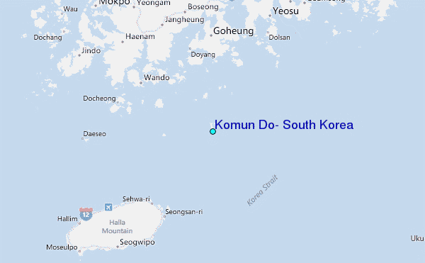