
| Distance / Altitude | Location | Report Date / Time | Live Weather | Wind | Gusts | Temp. | Visibility | Cloud |
|---|---|---|---|---|---|---|---|---|
| 7 km NE / 215 m | Kota Bharu-sultan P (Malaysia) | 2026-07-10 04:00 local (2026/07/09 20:00 GMT) | Thunderstorm - | light winds from the N (6 km/h at 1) | 25°C | 10.0 | few scattered scattered | |
| 8 km NE / 5 m | Kota Bharu (Malaysia) | 2026-07-10 04:00 local (2026/07/09 20:00 GMT) | no report | wind obs. (13 kph from 300 degs) was rejected (- km/h at -) | 31°C | 16 | - - - | |
| 57 km WNW / 91 m | Narathiwat (Thailand) | 2026-07-10 05:00 local (2026/07/09 21:00 GMT) | - | calm (4 km/h at 250) | — | - | - | |
| 115 km W / 36 m | Yala Agromet (Thailand) | 2026-07-10 05:00 local (2026/07/09 21:00 GMT) | - | light winds from the W (11 km/h at 260) | — | - | - | |
| 126 km SE / 216 m | Kuala Trengganu Airport (Malaysia) | 2026-07-10 04:00 local (2026/07/09 20:00 GMT) | - | light winds from the SW.(Wind varies from 190 to 260 degs) (6 km/h at 220) | 25°C | 10.0 | few | |
| 126 km SE / 6 m | Kuala Trengganu (Malaysia) | 2026-07-10 04:00 local (2026/07/09 20:00 GMT) | - | wind obs. (11 kph from 360 degs) was rejected (- km/h at -) | — | 18 | - - - | |
| 140 km W / 9 m | Pattani (Thailand) | 2026-07-10 05:00 local (2026/07/09 21:00 GMT) | no report | wind obs. (6 kph from 350 degs) was rejected (- km/h at -) | 31°C | - | - | |
| 185 km E / 15 m | SHIP8400 (Marine) | 2026-07-10 03:00 local (2026/07/09 19:00 GMT) | light winds from the SW (18.0 km/h at 230) | 30°C | - km | |||
| 185 km E / 15 m | SHIP2770 (Marine) | 2026-07-10 04:00 local (2026/07/09 20:00 GMT) | light winds from the WSW (18.0 km/h at 240) | 30°C | - km | |||
| 185 km E / 3 m | SHIP3969 (Marine) | 2026-07-10 03:00 local (2026/07/09 19:00 GMT) | light winds from the SW (18 km/h at 230) | 28°C | - |
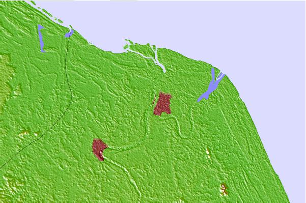
| Contours: | Roads & Rivers: | Select a
tide station / surf break / city |
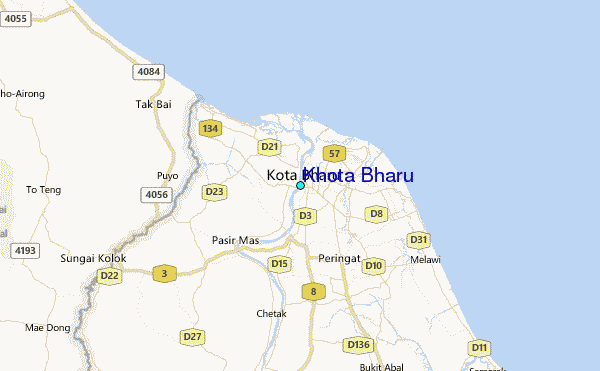
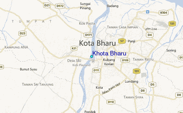
Use this relief map to navigate to tide stations, surf breaks and cities that are in the area of Khota Bharu.
Other Nearby Locations' tide tables and tide charts to Khota Bharu:
click location name for more details
 Surf breaks close to Khota Bharu:
|
||
|---|---|---|
| Closest surf break | Batu Buruk | 84 mi |
| Second closest surf break | Kelulut (Marang) | 95 mi |
| Third closest surf break | Songkhla - Fulerayem Point | 135 mi |
| Fourth closest surf break | Kijal | 150 mi |
| Fifth closest surf break | Cherating | 160 mi |


 Nearest
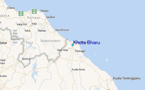