
| Distance / Altitude | Location | Report Date / Time | Live Weather | Wind | Gusts | Temp. | Visibility | Cloud |
|---|---|---|---|---|---|---|---|---|
| 0 km E / 175 m | Bonaire/Flamingo Airport (Lesser Antilles) | 2026-07-09 13:55 local (2026/07/09 17:55 GMT) | - | fresh winds from the ESE.(Wind varies from 060 to 160 degs) (33 km/h at 110) | 31°C | 10.0 | few | |
| 2 km SSE / 3 m | Flamingo Airport- Bonaire (Netherlands) | 2026-07-09 15:00 local (2026/07/09 19:00 GMT) | no report | fresh winds from the E (29 km/h at 100) | 28°C | 23 | - | |
| 67 km WSW / 15 m | SHIP6948 (Marine) | 2026-07-09 13:00 local (2026/07/09 17:00 GMT) | - (- km/h at -) | — | - km | |||
| 67 km WSW / 15 m | SHIP7239 (Marine) | 2026-07-09 13:00 local (2026/07/09 17:00 GMT) | - (- km/h at -) | — | - km | |||
| 67 km WSW / 3 m | SHIP1328 (Marine) | 2026-07-09 15:00 local (2026/07/09 19:00 GMT) | - (- km/h at -) | 30°C | - | |||
| 67 km WSW / 15 m | SHIP1831 (Marine) | 2026-07-09 15:00 local (2026/07/09 19:00 GMT) | - (- km/h at -) | — | - km | |||
| 67 km WSW / 3 m | SHIP6732 (Marine) | 2026-07-09 13:00 local (2026/07/09 17:00 GMT) | - (- km/h at -) | 30°C | - | |||
| 67 km WSW / 3 m | SHIP2934 (Marine) | 2026-07-09 14:00 local (2026/07/09 18:00 GMT) | - (- km/h at -) | 30°C | - | |||
| 67 km WSW / 15 m | SHIP1672 (Marine) | 2026-07-09 14:00 local (2026/07/09 18:00 GMT) | - (- km/h at -) | — | - km | |||
| 67 km WSW / 3 m | SHIP2679 (Marine) | 2026-07-09 13:00 local (2026/07/09 17:00 GMT) | - (- km/h at -) | 30°C | - |
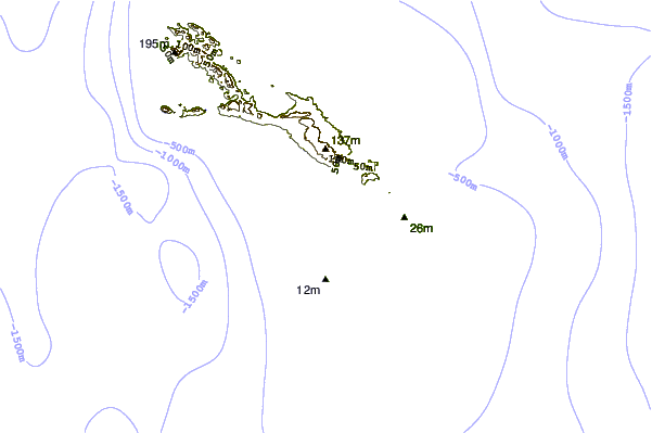
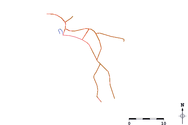
| Contours: | Roads & Rivers: | Select a
tide station / surf break / city |
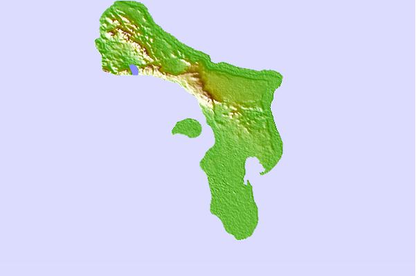
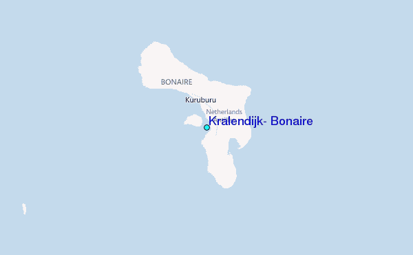
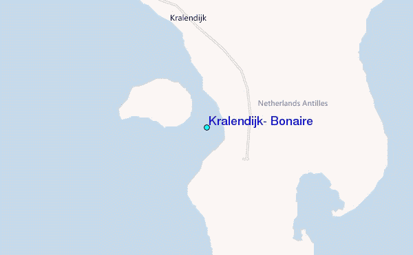
Use this relief map to navigate to tide stations, surf breaks and cities that are in the area of Kralendijk, Bonaire.
Other Nearby Locations' tide tables and tide charts to Kralendijk, Bonaire:
click location name for more details
 Surf breaks close to Kralendijk, Bonaire:
|
||
|---|---|---|
| Closest surf break | El Peaje | 107 mi |
| Second closest surf break | Muraya | 109 mi |
| Third closest surf break | Outside Rodger's Beach | 110 mi |
| Fourth closest surf break | Dos Playa | 113 mi |
| Fifth closest surf break | Palma Sola | 114 mi |


 Nearest
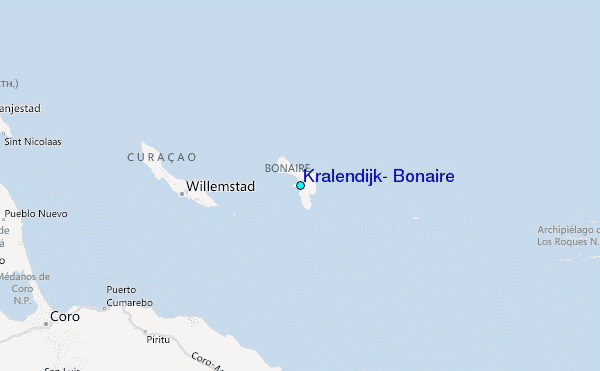