
| Distance / Altitude | Location | Report Date / Time | Live Weather | Wind | Gusts | Temp. | Visibility | Cloud |
|---|---|---|---|---|---|---|---|---|
| 47 km SSW / 4 m | Phú Quốc Airport (Viet nam) | 2026-07-10 01:30 local (2026/07/09 18:30 GMT) | Dry and partly cloudy | light winds from the WSW (15 km/h at 240) | 29°C | 10.0 | scattered | |
| 75 km WSW / 10 m | Sihanoukville International Airport (Cambodia) | 2026-07-10 01:30 local (2026/07/09 18:30 GMT) | Dry and partly cloudy | light winds from the W (9 km/h at 280) | 28°C | 9.0 | scattered | |
| 112 km NNE / 27 m | Kompong Speu (Cambodia) | 2026-07-10 02:00 local (2026/07/09 19:00 GMT) | no report | calm (0 km/h at 210) | 25°C | - | - - - | |
| 135 km NNE / 8 m | Kandal (Cambodia) | 2026-07-10 02:00 local (2026/07/09 19:00 GMT) | no report | wind obs. (7 kph from 300 degs) was rejected (- km/h at -) | 29°C | - | - | |
| 137 km NNE / 10 m | Phnom -Penh (Khmough) (Cambodia) | 2026-07-10 02:00 local (2026/07/09 19:00 GMT) | no report | wind obs. (11 kph from 280 degs) was rejected (- km/h at -) | 31°C | - | - | |
| 154 km NE / 13 m | Prey Veng (Cambodia) | 2026-07-10 02:00 local (2026/07/09 19:00 GMT) | no report | wind obs. (7 kph from 300 degs) was rejected (- km/h at -) | 32°C | - | - | |
| 160 km ESE / 3 m | Can Tho Airport (Viet nam) | 2026-07-10 01:30 local (2026/07/09 18:30 GMT) | - | light winds from the WSW (7 km/h at 240) | 26°C | 10.0 | few | |
| 175 km ENE / 6 m | Svay Rieng (Cambodia) | 2026-07-10 02:00 local (2026/07/09 19:00 GMT) | no report | light winds from the SW (14 km/h at 220) | 28°C | - | - | |
| 193 km WNW / 13 m | Koh Kong (Cambodia) | 2026-07-10 02:00 local (2026/07/09 19:00 GMT) | no report | calm (4 km/h at 100) | 28°C | - | - | |
| 211 km WNW / 4 m | Khlong Yai (Thailand) | 2026-07-10 01:00 local (2026/07/09 18:00 GMT) | no report | calm (2 km/h at 40) | 27°C | - | - |
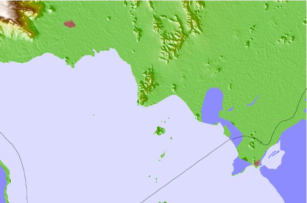
| Contours: | Roads & Rivers: | Select a
tide station / surf break / city |
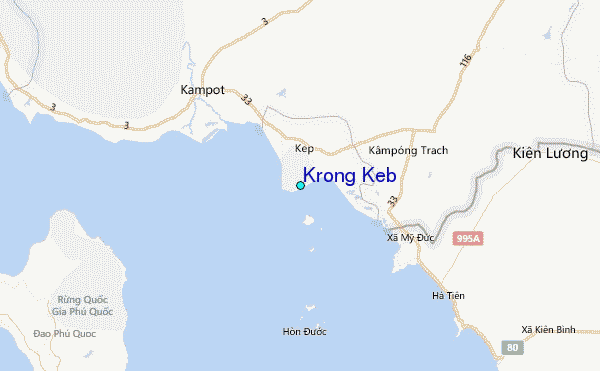
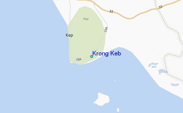
Use this relief map to navigate to tide stations, surf breaks and cities that are in the area of Krong Keb.
Other Nearby Locations' tide tables and tide charts to Krong Keb:
click location name for more details
 Surf breaks close to Krong Keb:
|
||
|---|---|---|
| Closest surf break | Bamboo Island | 52 mi |
| Second closest surf break | Sihanoukville | 55 mi |
| Third closest surf break | Vung Tau (Back Beach) | 189 mi |
| Fourth closest surf break | Leam Sing | 206 mi |
| Fifth closest surf break | Aho Kahi Harbor Entrance | 234 mi |


 Nearest
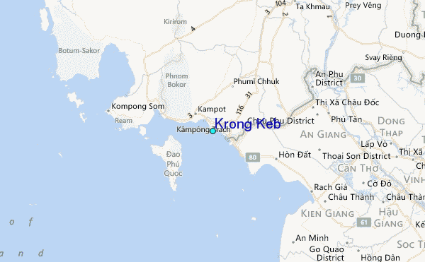