
| Distance / Altitude | Location | Report Date / Time | Live Weather | Wind | Gusts | Temp. | Visibility | Cloud |
|---|---|---|---|---|---|---|---|---|
| 38 km SSW / 213 m | Miri Airport (Malaysia) | 2026-07-10 02:00 local (2026/07/09 18:00 GMT) | Dry and partly cloudy | calm (2 km/h at 1) | 27°C | 10.0 | few scattered - | |
| 89 km ENE / 215 m | Brunei International Airport (Malaysia) | 2026-07-10 02:30 local (2026/07/09 18:30 GMT) | Dry and partly cloudy | light winds from the S (6 km/h at 190) | 27°C | 10.0 | few scattered broken | |
| 141 km ENE / 213 m | Labuan Air Force Base Airport (Malaysia) | 2026-07-10 02:00 local (2026/07/09 18:00 GMT) | - | calm (0 km/h at 0) | 28°C | 10.0 | few | |
| 181 km ENE / 15 m | SHIP3421 (Marine) | 2026-07-10 02:00 local (2026/07/09 18:00 GMT) | moderate winds from the SSW (27.720000000000002 km/h at 210) | 30°C | 8.1 km | |||
| 201 km SSW / 215 m | Bintulu Airport (Malaysia) | 2026-07-10 02:00 local (2026/07/09 18:00 GMT) | Dry and partly cloudy | calm (0 km/h at 0) | 27°C | 10.0 | few scattered | |
| 252 km NE / 218 m | Kota Kinabalu International Airport (Malaysia) | 2026-07-10 02:30 local (2026/07/09 18:30 GMT) | Thunderstorm - | light winds from the ESE.(Wind varies from 070 to 140 degs) (7 km/h at 110) | 27°C | 10.0 | few few scattered | |
| 275 km NNE / 0 m | lightning 180km NW of Kota Kinabalu (Malaysia) | 2026-07-10 02:19 local (2026/07/09 18:19 GMT) | Thunderstorm | (- km/h at -) | — | |||
| 279 km ESE / 213 m | lightning 105km WSW of Sembakung (Indonesia) | 2026-07-10 03:33 local (2026/07/09 19:33 GMT) | Thunderstorm | (- km/h at -) | — | |||
| 364 km SSW / 215 m | Sibu Airport (Malaysia) | 2026-07-10 02:00 local (2026/07/09 18:00 GMT) | - | calm (2 km/h at 1) | 26°C | 10.0 | few | |
| 389 km NE / 213 m | Kudat Airport (Malaysia) | 2026-07-10 02:00 local (2026/07/09 18:00 GMT) | - | light winds from the WSW.(Wind varies from 180 to 280 degs) (9 km/h at 240) | 28°C | 10.0 | few |
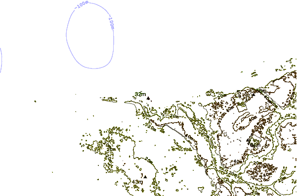
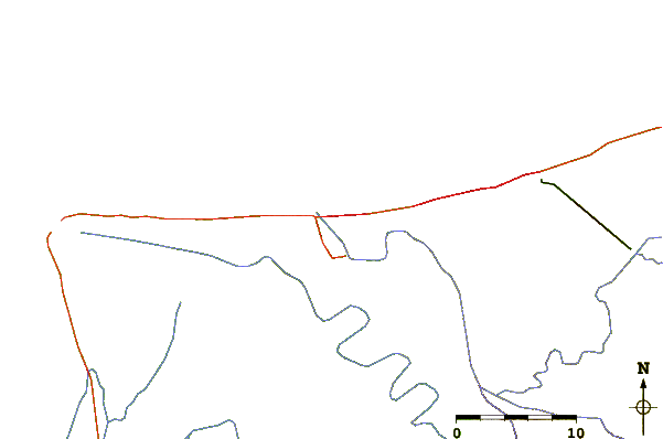
| Contours: | Roads & Rivers: | Select a
tide station / surf break / city |
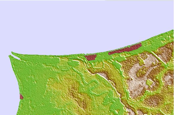
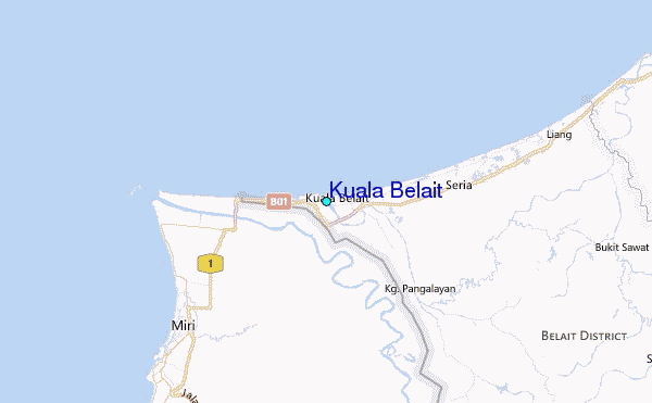
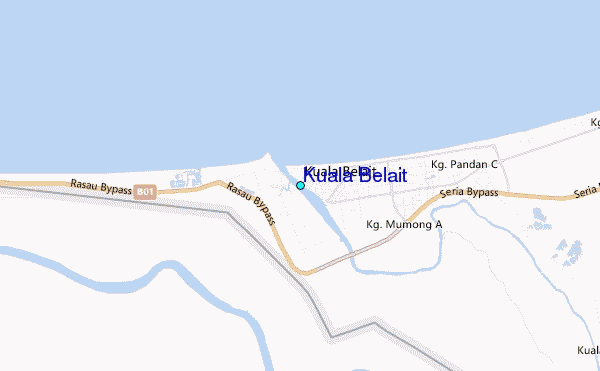
Use this relief map to navigate to tide stations, surf breaks and cities that are in the area of Kuala Belait.
Other Nearby Locations' tide tables and tide charts to Kuala Belait:
click location name for more details
 Surf breaks close to Kuala Belait:
|
||
|---|---|---|
| Closest surf break | Tungku Beach or KM26 | 54 mi |
| Second closest surf break | Berakas Beach | 58 mi |
| Third closest surf break | Tanjung Batu | 68 mi |
| Fourth closest surf break | Pulau Manukan | 158 mi |
| Fifth closest surf break | Tanjung Aru Beach | 158 mi |


 Nearest
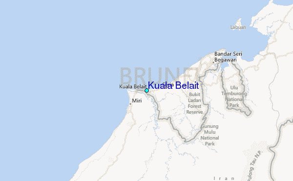