
| Distance / Altitude | Location | Report Date / Time | Live Weather | Wind | Gusts | Temp. | Visibility | Cloud |
|---|---|---|---|---|---|---|---|---|
| 26 km ESE / 129 m | Malacca (Malaysia) | 2026-07-10 06:00 local (2026/07/09 22:00 GMT) | haze | calm (2 km/h at 1) | 26°C | 9.0 | few - - | |
| 55 km WNW / 17 m | Kuala Lumpur International Airport (Klia) (Malaysia) | 2026-07-10 06:00 local (2026/07/09 22:00 GMT) | - | wind obs. (6 kph from 260 degs) was rejected (- km/h at -) | — | 10 | - - - | |
| 100 km NW / 22 m | Sultan Abdul Aziz Shah Airport (Malaysia) | 2026-07-10 06:00 local (2026/07/09 22:00 GMT) | - | wind obs. (13 kph from 260 degs) was rejected (- km/h at -) | — | 12 | - - - | |
| 101 km NW / 218 m | Kuala Lumpur/sub Airport (Malaysia) | 2026-07-10 05:30 local (2026/07/09 21:30 GMT) | - | wind obs. (6 kph from 1 degs) was rejected (- km/h at -) | 27°C | 10.0 | few | |
| 102 km NW / 217 m | Kuala Lumpur Sultan Abdul Aziz Shah Airport (Malaysia) | 2026-07-10 05:00 local (2026/07/09 21:00 GMT) | - | light winds from the ESE.(Wind varies from 070 to 160 degs) (11 km/h at 110) | 29°C | 10.0 | few | |
| 198 km ESE / 40 m | Johore Bharu/Senai (Malaysia) | 2026-07-10 06:00 local (2026/07/09 22:00 GMT) | - | wind obs. (7 kph from 300 degs) was rejected (- km/h at -) | — | 10 | - - - | |
| 199 km ESE / 217 m | Johore Bharu/Senai Airport (Malaysia) | 2026-07-10 05:00 local (2026/07/09 21:00 GMT) | - | calm (0 km/h at 0) | 24°C | 8.0 | few | |
| 199 km E / 216 m | Mersing Airport (Malaysia) | 2026-07-10 05:00 local (2026/07/09 21:00 GMT) | - | light winds from the SW (11 km/h at 220) | 24°C | 7.0 | few | |
| 205 km NE / 217 m | Kuantan Air Force Base Airport (Malaysia) | 2026-07-10 05:00 local (2026/07/09 21:00 GMT) | - | calm (4 km/h at 1) | 24°C | 10.0 | few | |
| 206 km NE / 16 m | Kuantan Air Force Base (Malaysia) | 2026-07-10 06:00 local (2026/07/09 22:00 GMT) | - | wind obs. (7 kph from 200 degs) was rejected (- km/h at -) | — | 16 | - |
| Contours: | Roads & Rivers: | Select a
tide station / surf break / city |
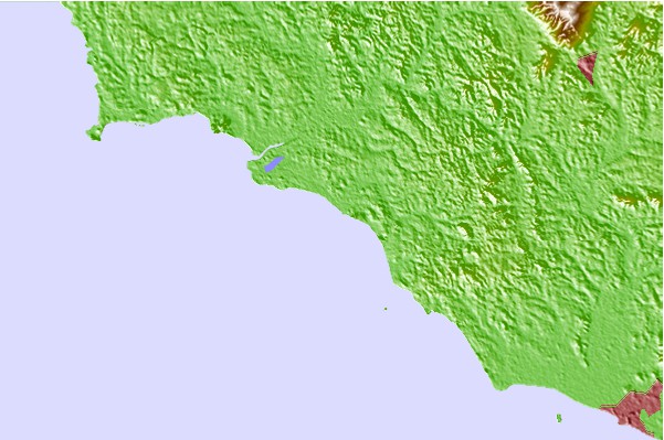
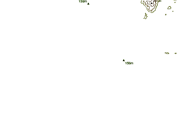
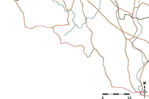
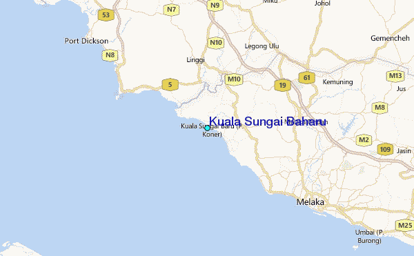
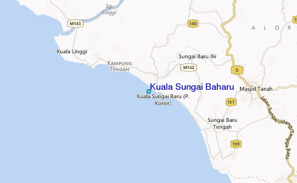
Use this relief map to navigate to tide stations, surf breaks and cities that are in the area of Kuala Sungai Baharu.
Other Nearby Locations' tide tables and tide charts to Kuala Sungai Baharu:
click location name for more details
 Surf breaks close to Kuala Sungai Baharu:
|
||
|---|---|---|
| Closest surf break | Tioman Island | 154 mi |
| Second closest surf break | Cherating | 155 mi |
| Third closest surf break | Kijal | 170 mi |
| Fourth closest surf break | Kelulut (Marang) | 212 mi |
| Fifth closest surf break | Batu Buruk | 220 mi |


 Nearest
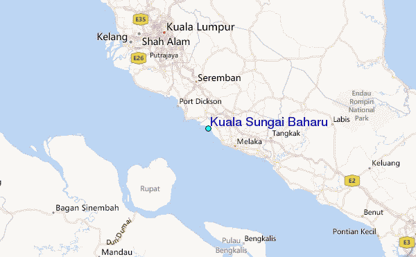