
| Distance / Altitude | Location | Report Date / Time | Live Weather | Wind | Gusts | Temp. | Visibility | Cloud |
|---|---|---|---|---|---|---|---|---|
| 11 km WSW / 15 m | Kampong Sungai Tengah wx (Malaysia) | 2026-07-01 14:19 local (2026/07/01 06:19 GMT) | - | - (- km/h at ) | 35°C | - | - - 0 | |
| 12 km S / 218 m | Kuching Airport (Malaysia) | 2026-07-01 13:30 local (2026/07/01 05:30 GMT) | - | wind obs. (7 kph from 1 degs) was rejected (- km/h at -) | 32°C | 10.0 | few | |
| 23 km SSE / 34 m | Kampong Kangka wx (Malaysia) | 2026-07-01 14:08 local (2026/07/01 06:08 GMT) | - | - (- km/h at ) | 34°C | - | - - 0 | |
| 126 km ESE / 214 m | Simanggang Airport (Malaysia) | 2026-07-01 13:00 local (2026/07/01 05:00 GMT) | - | calm (4 km/h at 1) | 31°C | |||
| 183 km ENE / 215 m | Sibu Airport (Malaysia) | 2026-07-01 13:00 local (2026/07/01 05:00 GMT) | Dry and partly cloudy | wind obs. (6 kph from 1 degs) was rejected (- km/h at -) | 31°C | 10.0 | scattered | |
| 217 km S / 77 m | Pontianak/Supadio Airport (Indonesia) | 2026-07-01 13:30 local (2026/07/01 05:30 GMT) | Dry and partly cloudy | light winds from the SSE (7 km/h at 160) | 31°C | 10.0 | broken | |
| 347 km ENE / 215 m | Bintulu Airport (Malaysia) | 2026-07-01 13:00 local (2026/07/01 05:00 GMT) | - | calm (4 km/h at 1) | 31°C | 10.0 | few | |
| 504 km NE / 213 m | Miri Airport (Malaysia) | 2026-07-01 13:00 local (2026/07/01 05:00 GMT) | Dry and partly cloudy | light winds from the N (9 km/h at 1) | 30°C | 10.0 | scattered scattered few | |
| 534 km W / 10 m | Letung Airport- Bukit Padi (Indonesia) | 2026-07-01 13:30 local (2026/07/01 05:30 GMT) | - | calm (0 km/h at 0) | — | 0.0 | ||
| 576 km W / 3 m | SHIP8116 (Marine) | 2026-07-01 12:00 local (2026/07/01 04:00 GMT) | - (- km/h at -) | 34°C | - |
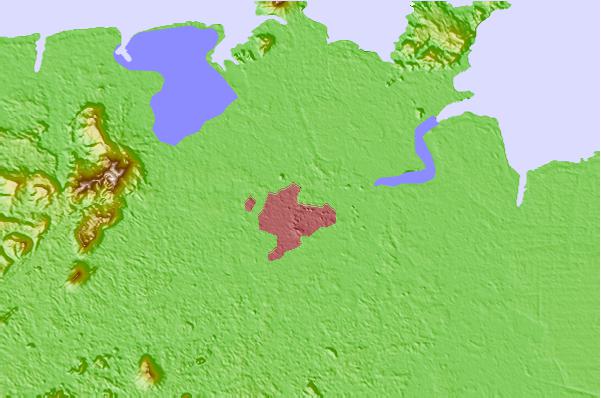
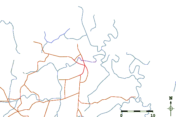
| Contours: | Roads & Rivers: | Select a
tide station / surf break / city |
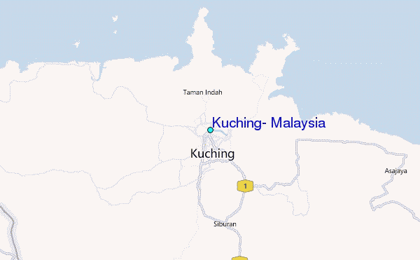
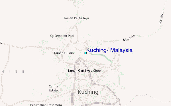
Use this relief map to navigate to tide stations, surf breaks and cities that are in the area of Kuching, Malaysia.
Other Nearby Locations' tide tables and tide charts to Kuching, Malaysia:
click location name for more details
 Surf breaks close to Kuching, Malaysia:
|
||
|---|---|---|
| Closest surf break | Tungku Beach or KM26 | 391 mi |
| Second closest surf break | Berakas Beach | 395 mi |
| Third closest surf break | Tanjung Batu | 404 mi |
| Fourth closest surf break | Tioman Island | 432 mi |
| Fifth closest surf break | Pulau Manukan | 495 mi |


 Nearest
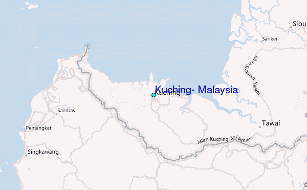