
| Distance / Altitude | Location | Report Date / Time | Live Weather | Wind | Gusts | Temp. | Visibility | Cloud |
|---|---|---|---|---|---|---|---|---|
| 84 km WNW / 3 m | BUOY-CPSA2 (Marine) | 2026-06-23 19:02 local (2026/06/24 03:02 GMT) | moderate winds from the NNE (21 km/h at 20) | 9°C | - | |||
| 85 km NE / 212 m | Chignik Bay Airport (Alaska) | 2026-06-23 17:56 local (2026/06/24 01:56 GMT) | Dry and partly cloudy | light winds from the NNE (17 km/h at 30) | 14°C | 16 | broken | |
| 88 km SSW / 216 m | Sand Point Airport (Alaska) | 2026-06-23 18:05 local (2026/06/24 02:05 GMT) | Dry and partly cloudy | wind obs. (15 kph from 160 degs) was rejected (- km/h at -) | 13°C | 16 | few scattered broken | |
| 88 km SSW / 3 m | BUOY-SNDA2 (Marine) | 2026-06-23 18:48 local (2026/06/24 02:48 GMT) | light winds from the S (13 km/h at 180) | — | - | |||
| 117 km W / 3 m | BUOY-NLXA2 (Marine) | 2026-06-23 19:02 local (2026/06/24 03:02 GMT) | light winds from the NE (17 km/h at 50) | — | - | |||
| 138 km NNE / 209 m | Port Heiden Airport (Alaska) | 2026-06-23 17:56 local (2026/06/24 01:56 GMT) | Dry and cloudy | wind obs. (7 kph from 200 degs) was rejected (- km/h at -) | 14°C | 16 | scattered broken overcast | |
| 199 km SW / 47 m | King Cove Airport (Alabama) (Alaska) | 2026-06-23 17:56 local (2026/06/24 01:56 GMT) | Dry and partly cloudy | wind obs. (19 kph from 70 degs) was rejected (- km/h at -) | 13°C | 16 | scattered broken | |
| 205 km SW / 3 m | BUOY-KCXA2 (Marine) | 2026-06-23 19:02 local (2026/06/24 03:02 GMT) | light winds from the S (15 km/h at 190) | — | - | |||
| 205 km SW / 3 m | BUOY-KGCA2 (Marine) | 2026-06-23 18:48 local (2026/06/24 02:48 GMT) | light winds from the S (13 km/h at 180) | — | - | |||
| 222 km SW / 161 m | Cold Bay Airport (Alaska) | 2026-06-23 17:53 local (2026/06/24 01:53 GMT) | Dry and cloudy | light winds from the SSE (17 km/h at 160) | 16°C | 16 | overcast |
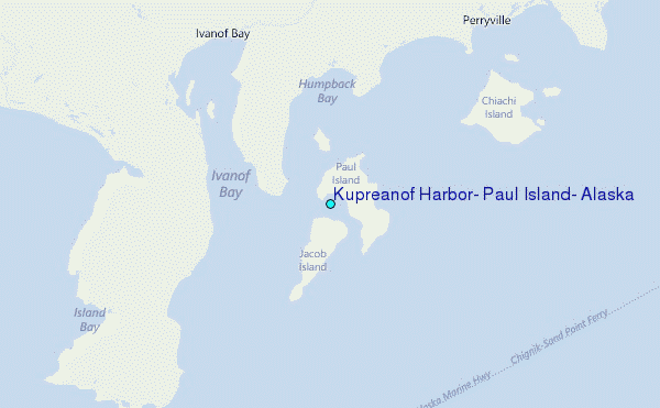
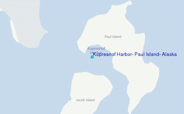
Choose Kupreanof Harbor, Paul Island, Alaska Location Map Zoom:
| Contours: | Roads & Rivers: | Select a
tide station / surf break / city |
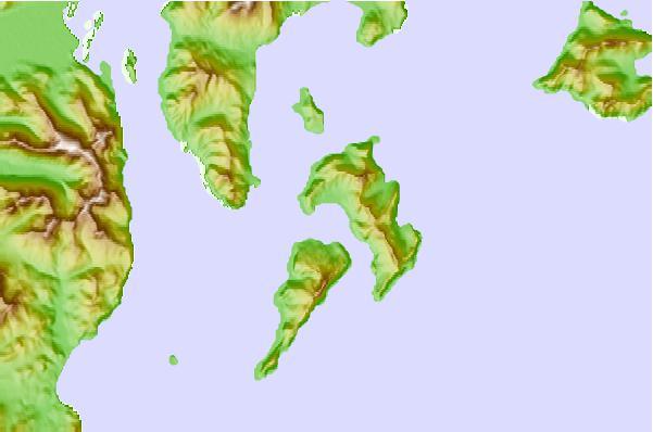
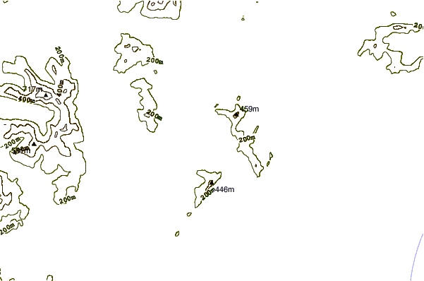
Use this relief map to navigate to tide stations, surf breaks and cities that are in the area of Kupreanof Harbor, Paul Island, Alaska.
Other Nearby Locations' tide tables and tide charts to Kupreanof Harbor, Paul Island, Alaska:
click location name for more details
 Surf breaks close to Kupreanof Harbor, Paul Island, Alaska:
|
||
|---|---|---|
| Closest surf break | Fossil Beach Kodiak | 289 mi |
| Second closest surf break | Monashka Bay | 297 mi |
| Third closest surf break | Termination Point | 299 mi |
| Fourth closest surf break | Mill Bay | 300 mi |
| Fifth closest surf break | Bird Point (Tidal Bore) | 447 mi |


 Nearest
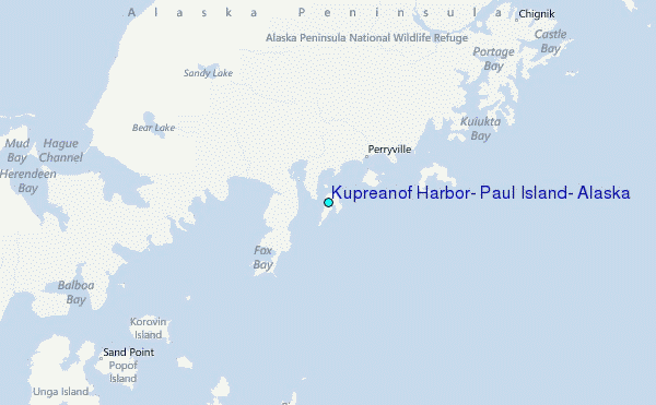