
| Distance / Altitude | Location | Report Date / Time | Live Weather | Wind | Gusts | Temp. | Visibility | Cloud |
|---|---|---|---|---|---|---|---|---|
| 36 km SSE / 13 m | Quinhagak (AK) (Alaska) | 2026-06-23 13:41 local (2026/06/23 21:41 GMT) | Dry and cloudy | light winds from the S (13 km/h at 190) | 14°C | 16 | broken overcast | |
| 86 km NNE / 214 m | Bethel Airport (Alaska) | 2026-06-23 12:53 local (2026/06/23 20:53 GMT) | Dry and cloudy | light winds from the W (15 km/h at 260) | 16°C | 16 | few scattered overcast | |
| 87 km NNE / 3 m | BUOY-BEXA2 (Marine) | 2026-06-23 14:32 local (2026/06/23 22:32 GMT) | light winds from the WSW (9 km/h at 250) | 18°C | - | |||
| 104 km WSW / 213 m | Kipnuk Airport (AK) (United States) | 2026-06-23 12:56 local (2026/06/23 20:56 GMT) | Dry and cloudy | light winds from the W (17 km/h at 280) | 13°C | 16 | overcast | |
| 115 km S / 182 m | Platinum (AK) Airport (United States) | 2026-06-23 13:23 local (2026/06/23 21:23 GMT) | Dry and cloudy | light winds from the WNW (13 km/h at 290) | 12°C | 16 | few broken overcast | |
| 149 km SE / 194 m | Togiak Airport (Alaska) | 2026-06-23 12:56 local (2026/06/23 20:56 GMT) | Clear | light winds from the SSW (19 km/h at 200) | 13°C | 16 | ||
| 150 km SE / 3 m | BUOY-TGXA2 (Marine) | 2026-06-23 14:32 local (2026/06/23 22:32 GMT) | moderate winds from the SSW (24 km/h at 200) | 11°C | - | |||
| 154 km S / 646 m | Cape Newenham Airport (Alaska) | 2026-06-23 12:55 local (2026/06/23 20:55 GMT) | Dry and cloudy | calm (0 km/h at 0) | 11°C | 16 | few overcast | |
| 172 km W / 18 m | Toksook Bay Airport (Alaska) | 2026-06-23 12:56 local (2026/06/23 20:56 GMT) | Dry and cloudy | moderate winds from the W (24 km/h at 280) | 14°C | 16 | overcast | |
| 174 km SE / 15 m | SHIP1933 (Marine) | 2026-06-23 14:00 local (2026/06/23 22:00 GMT) | - (- km/h at -) | — | - km |
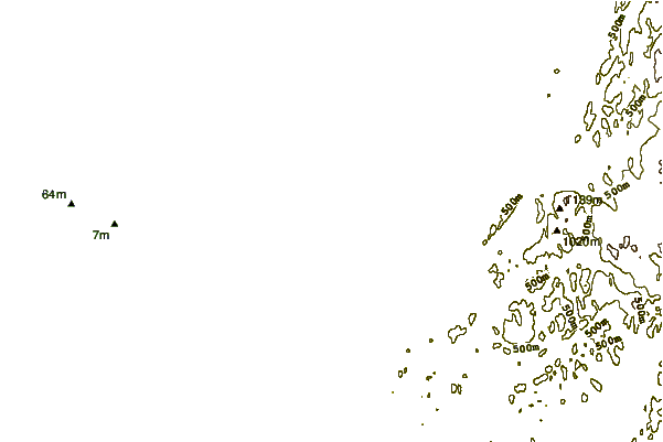
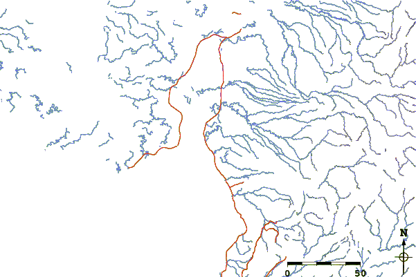
| Contours: | Roads & Rivers: | Select a
tide station / surf break / city |
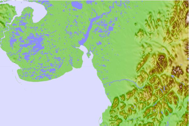
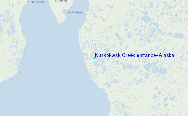
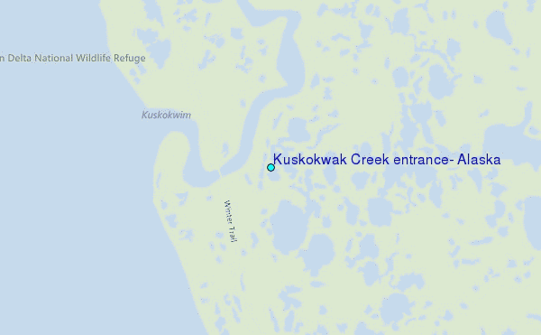
Use this relief map to navigate to tide stations, surf breaks and cities that are in the area of Kuskokwak Creek entrance, Alaska.
Other Nearby Locations' tide tables and tide charts to Kuskokwak Creek entrance, Alaska:
click location name for more details
 Surf breaks close to Kuskokwak Creek entrance, Alaska:
|
||
|---|---|---|
| Closest surf break | Bird Point (Tidal Bore) | 371 mi |
| Second closest surf break | Monashka Bay | 379 mi |
| Third closest surf break | Termination Point | 379 mi |
| Fourth closest surf break | Mill Bay | 382 mi |
| Fifth closest surf break | Fossil Beach Kodiak | 395 mi |


 Nearest
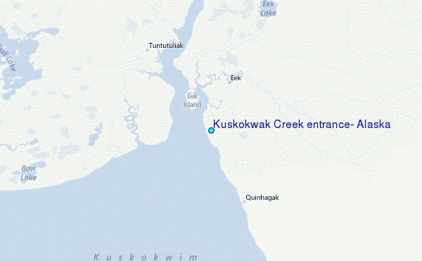