
| Distance / Altitude | Location | Report Date / Time | Live Weather | Wind | Gusts | Temp. | Visibility | Cloud |
|---|---|---|---|---|---|---|---|---|
| 79 km SSE / 215 m | Kwajalein/buchol Airport (Marshall Islands) | 2026-07-10 07:40 local (2026/07/09 19:40 GMT) | Dry and partly cloudy | calm (0 km/h at 0) | 28°C | 16 | broken scattered broken | |
| 79 km SSE / 3 m | BUOY-KWJP8 (Marine) | 2026-07-10 07:48 local (2026/07/09 19:48 GMT) | - (- km/h at -) | — | - | |||
| 483 km ESE / 208 m | Majuro Atoll Airport (Marshall Islands) | 2026-07-10 06:50 local (2026/07/09 18:50 GMT) | Dry and cloudy | calm (0 km/h at 0) | 28°C | 24 | few scattered overcast | |
| 489 km ESE / 169 m | Majuro Wso Airport (Marshall Islands) | 2026-07-10 07:53 local (2026/07/09 19:53 GMT) | Dry and partly cloudy | light winds from the N (7 km/h at 1) | — | 24 | few scattered broken | |
| 500 km ESE / 3 m | Kalo- Majuro- Marshall Islands (Marine) | 2026-07-10 06:30 local (2026/07/09 18:30 GMT) | - (- km/h at -) | 26°C | - | |||
| 512 km ESE / 3 m | BUOY-52216 (Marine) | 2026-07-10 07:30 local (2026/07/09 19:30 GMT) | - (- km/h at -) | — | - | |||
| 1056 km SW / 192 m | Pohnpei Airport (Micronesia) | 2026-07-10 06:50 local (2026/07/09 18:50 GMT) | Dry and cloudy | calm (0 km/h at 0) | 25°C | 24 | broken overcast overcast | |
| 1074 km SE / 2 m | Tarawa Kiribati Airport (Fiji/tonga/tuvalu) | 2026-07-10 07:00 local (2026/07/09 19:00 GMT) | Dry and partly cloudy | light winds from the WSW (11 km/h at 240) | 28°C | 10.0 | few scattered - | |
| 1097 km N / 194 m | Wake Island Airfield Airport (Wake Island) | 2026-07-10 06:55 local (2026/07/09 18:55 GMT) | - | light winds from the E (15 km/h at 100) | 28°C | 11 | few | |
| 1098 km N / 3 m | BUOY-WAKP8 (Marine) | 2026-07-10 07:48 local (2026/07/09 19:48 GMT) | light winds from the ESE (18 km/h at 110) | 29°C | - |
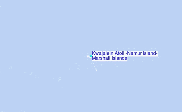
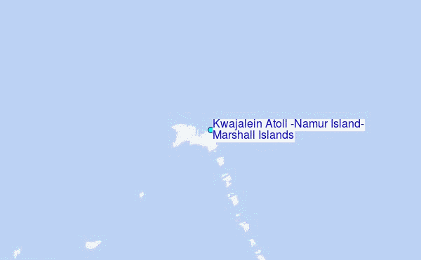
Choose Kwajalein Atoll (Namur Island), Marshall Islands Location Map Zoom:
| Contours: | Roads & Rivers: | Select a
tide station / surf break / city |
Use this relief map to navigate to tide stations, surf breaks and cities that are in the area of Kwajalein Atoll (Namur Island), Marshall Islands.
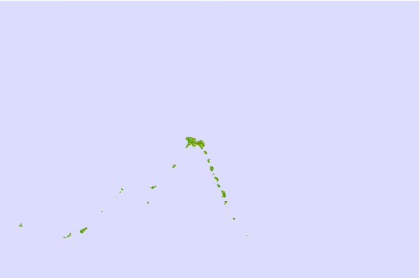
Other Nearby Locations' tide tables and tide charts to Kwajalein Atoll (Namur Island), Marshall Islands:
click location name for more details
 Surf breaks close to Kwajalein Atoll (Namur Island), Marshall Islands:
|
||
|---|---|---|
| Closest surf break | Sidedish | 420 mi |
| Second closest surf break | Walung | 421 mi |
| Third closest surf break | Naa | 656 mi |
| Fourth closest surf break | Simberi Island | 1351 mi |
| Fifth closest surf break | Rubio | 1377 mi |


 Nearest
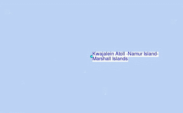