
| Distance / Altitude | Location | Report Date / Time | Live Weather | Wind | Gusts | Temp. | Visibility | Cloud |
|---|---|---|---|---|---|---|---|---|
| 9 km SW / 696 m | Caracas Airport/Aeropuerto Internacional Simon Bolivar (Venezuela) | 2026-07-09 14:00 local (2026/07/09 18:00 GMT) | - | calm (0 km/h at 80) | — | 10.0 | few broken - | |
| 10 km S / 997 m | San Bernardino wx (Venezuela) | 2026-07-09 15:45 local (2026/07/09 19:45 GMT) | dry | light winds from the SSE (8 km/h at 153) | 27°C | - | - - 0 | |
| 13 km SSE / 980 m | Caracas (Åland) | 2026-07-09 14:28 local (2026/07/09 18:28 GMT) | dry | wind obs. (6 kph from 27 degs) was rejected (- km/h at -) | 32°C | - | - - 0 | |
| 13 km SSE / 860 m | Caracas (Venezuela) | 2026-07-09 15:35 local (2026/07/09 19:35 GMT) | dry | light winds from the E (8 km/h at 101) | 28°C | - | - - 0 | |
| 123 km SW / 512 m | Zim Valencia International Airport (Venezuela) | 2026-07-09 14:00 local (2026/07/09 18:00 GMT) | Dry and partly cloudy | calm (0 km/h at 0) | 31°C | 10.0 | broken | |
| 227 km WNW / 3 m | Flamingo Airport- Bonaire (Netherlands) | 2026-07-09 15:00 local (2026/07/09 19:00 GMT) | no report | fresh winds from the E (29 km/h at 100) | 28°C | 23 | - | |
| 229 km WNW / 175 m | Bonaire/Flamingo Airport (Lesser Antilles) | 2026-07-09 13:55 local (2026/07/09 17:55 GMT) | - | fresh winds from the ESE.(Wind varies from 060 to 160 degs) (33 km/h at 110) | 31°C | 10.0 | few | |
| 235 km ESE / 15 m | SHIP3838 (Marine) | 2026-07-09 13:00 local (2026/07/09 17:00 GMT) | fresh winds from the E (29.52 km/h at 90) | 26°C | 8.1 km | |||
| 235 km ESE / 3 m | SHIP479 (Marine) | 2026-07-09 13:00 local (2026/07/09 17:00 GMT) | fresh winds from the E (30 km/h at 90) | 26°C | 9.3 | |||
| 235 km ESE / 3 m | SHIP4258 (Marine) | 2026-07-09 13:00 local (2026/07/09 17:00 GMT) | fresh winds from the E (30 km/h at 90) | 26°C | 9.3 |
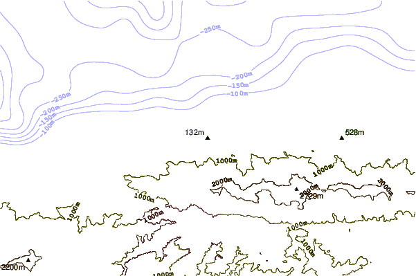
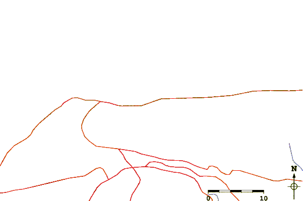
| Contours: | Roads & Rivers: | Select a
tide station / surf break / city |
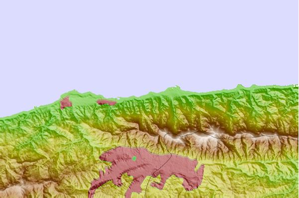
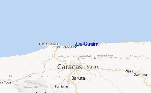
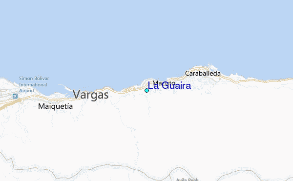
Use this relief map to navigate to tide stations, surf breaks and cities that are in the area of La Guaira.
Other Nearby Locations' tide tables and tide charts to La Guaira:
click location name for more details
 Surf breaks close to La Guaira:
|
||
|---|---|---|
| Closest surf break | Tanaguarena | 3 mi |
| Second closest surf break | Los Cocos | 4 mi |
| Third closest surf break | Los Pocitos | 6 mi |
| Fourth closest surf break | Playita | 6 mi |
| Fifth closest surf break | Mamo | 7 mi |


 Nearest
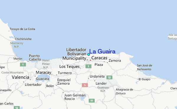