
| Distance / Altitude | Location | Report Date / Time | Live Weather | Wind | Gusts | Temp. | Visibility | Cloud |
|---|---|---|---|---|---|---|---|---|
| 30 km E / 209 m | EL Salvador International Airport (El Salvador) | 2026-07-09 12:00 local (2026/07/09 18:00 GMT) | - | wind obs. (9 kph from 160 degs) was rejected (- km/h at -) | 33°C | 10.0 | few | |
| 33 km NE / 544 m | Ilopango/San Salvador Airport (El Salvador) | 2026-07-09 11:50 local (2026/07/09 17:50 GMT) | - | wind obs. (13 kph from 340 degs) was rejected (- km/h at -) | 31°C | 10.0 | few - - | |
| 59 km NW / 318 m | Santa Ana/El Palmer Airport (El Salvador) | 2026-07-09 11:50 local (2026/07/09 17:50 GMT) | - | light winds from the N (7 km/h at 360) | 33°C | 10.0 | few | |
| 91 km WSW / 452 m | Acajutla/Sonsonate Airport (El Salvador) | 2026-07-09 11:50 local (2026/07/09 17:50 GMT) | - | light winds from the S (15 km/h at 180) | 35°C | 10.0 | few | |
| 106 km NW / 850 m | La Esperanza Airport (Honduras) | 2026-07-09 12:00 local (2026/07/09 18:00 GMT) | Dry and partly cloudy | light winds from the NE (19 km/h at 50) | 23°C | 10.0 | broken | |
| 106 km N / 763 m | Nueva Ocotepeque Airport (Honduras) | 2026-07-09 12:00 local (2026/07/09 18:00 GMT) | - | light winds from the N (15 km/h at 350) | 29°C | 10.0 | few | |
| 120 km N / 961 m | Esquipulas Airport (Guatemala) | 2026-07-09 12:00 local (2026/07/09 18:00 GMT) | Dry and cloudy | light winds from the NNE (15 km/h at 30) | 27°C | 10.0 | broken overcast | |
| 131 km E / 324 m | San Miguel/Papal Airport (El Salvador) | 2026-07-09 11:50 local (2026/07/09 17:50 GMT) | Dry and partly cloudy | light winds from the E (19 km/h at 90) | 36°C | 10.0 | scattered | |
| 142 km N / 314 m | Santa Rosa de Copán Airport (Honduras) | 2026-07-09 12:00 local (2026/07/09 18:00 GMT) | Dry and partly cloudy | light winds from the N (13 km/h at 10) | 28°C | 10.0 | broken | |
| 143 km NNE / 913 m | Celaque Airport (Honduras) | 2026-07-09 12:00 local (2026/07/09 18:00 GMT) | Dry and partly cloudy | light winds from the N (19 km/h at 360) | 30°C | 10.0 | scattered few |
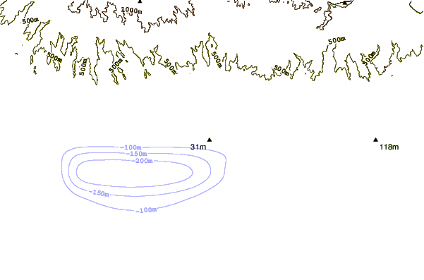
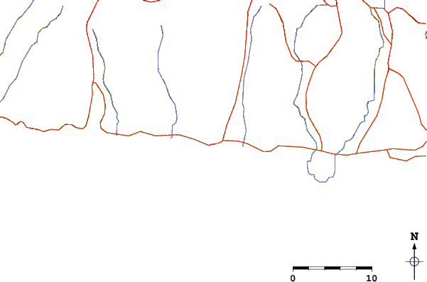
| Contours: | Roads & Rivers: | Select a
tide station / surf break / city |
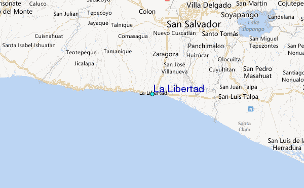
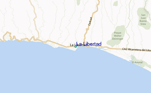
Use this relief map to navigate to tide stations, surf breaks and cities that are in the area of La Libertad.
Other Nearby Locations' tide tables and tide charts to La Libertad:
click location name for more details
 Surf breaks close to La Libertad:
|
||
|---|---|---|
| Closest surf break | La Paz | 1 mi |
| Second closest surf break | Punta Roca | 1 mi |
| Third closest surf break | El Muelle - The Pier | 1 mi |
| Fourth closest surf break | Fishermans Point | 1 mi |
| Fifth closest surf break | Conchalio | 1 mi |


 Nearest
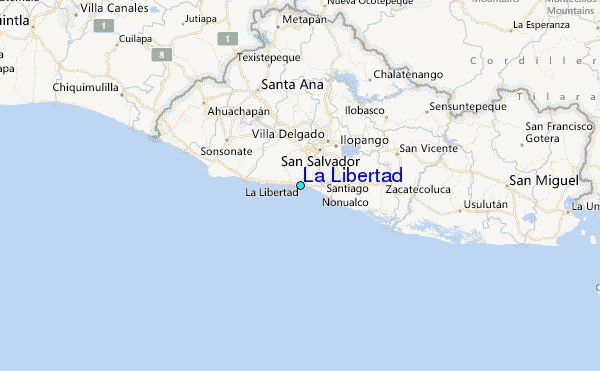