
| Distance / Altitude | Location | Report Date / Time | Live Weather | Wind | Gusts | Temp. | Visibility | Cloud |
|---|---|---|---|---|---|---|---|---|
| 34 km W / 324 m | San Miguel/Papal Airport (El Salvador) | 2026-07-09 12:50 local (2026/07/09 18:50 GMT) | Dry and partly cloudy | light winds from the ENE (15 km/h at 70) | 37°C | 10.0 | scattered | |
| 69 km E / 384 m | Choluteca Airport (Honduras) | 2026-07-09 13:00 local (2026/07/09 19:00 GMT) | - | moderate winds from the NNE (22 km/h at 20) | 39°C | 10.0 | few | |
| 102 km NE / 1063 m | Tegucigalpa/Toncontín International Airport (Honduras) | 2026-07-09 13:00 local (2026/07/09 19:00 GMT) | Dry and partly cloudy | light winds from the NNE (15 km/h at 30) | 27°C | 10.0 | broken | |
| 134 km WSW / 209 m | EL Salvador International Airport (El Salvador) | 2026-07-09 12:50 local (2026/07/09 18:50 GMT) | - | wind obs. (13 kph from 160 degs) was rejected (- km/h at -) | 33°C | 10.0 | few | |
| 146 km W / 544 m | Ilopango/San Salvador Airport (El Salvador) | 2026-07-09 12:50 local (2026/07/09 18:50 GMT) | Dry and partly cloudy | wind obs. (11 kph from 330 degs) was rejected (- km/h at -) | 32°C | 10.0 | scattered - - | |
| 161 km NW / 913 m | Celaque Airport (Honduras) | 2026-07-09 13:00 local (2026/07/09 19:00 GMT) | Dry and partly cloudy | light winds from the NW (9 km/h at 320) | 31°C | 10.0 | scattered few | |
| 186 km SE / 294 m | Bluefields Airport (Nicaragua) | 2026-07-09 13:00 local (2026/07/09 19:00 GMT) | Dry and partly cloudy | moderate winds from the E (26 km/h at 100) | 31°C | 10.0 | scattered | |
| 193 km WNW / 763 m | Nueva Ocotepeque Airport (Honduras) | 2026-07-09 13:00 local (2026/07/09 19:00 GMT) | - | light winds from the N (15 km/h at 350) | 30°C | 10.0 | few | |
| 202 km W / 318 m | Santa Ana/El Palmer Airport (El Salvador) | 2026-07-09 12:50 local (2026/07/09 18:50 GMT) | Dry and partly cloudy | calm (4 km/h at 340) | 33°C | 10.0 | scattered | |
| 215 km WNW / 961 m | Esquipulas Airport (Guatemala) | 2026-07-09 13:00 local (2026/07/09 19:00 GMT) | Dry and partly cloudy | light winds from the NNE (15 km/h at 30) | 28°C | 10.0 | broken broken |
| Contours: | Roads & Rivers: | Select a
tide station / surf break / city |
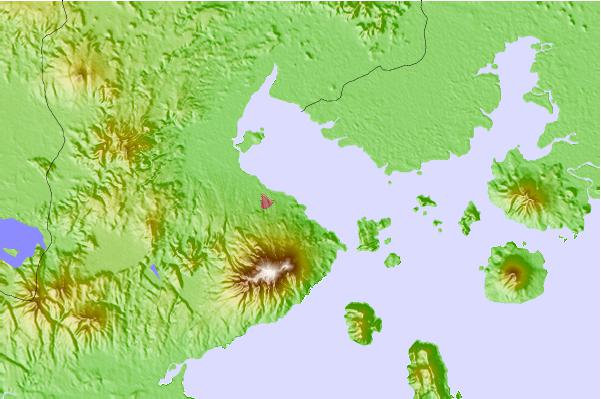
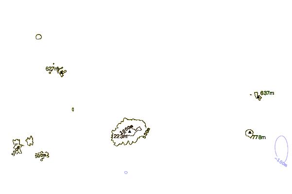
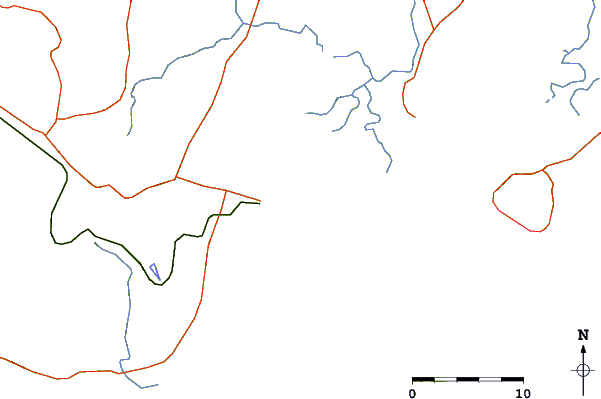
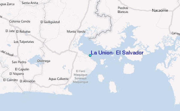
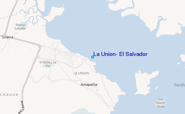
Use this relief map to navigate to tide stations, surf breaks and cities that are in the area of La Union, El Salvador.
Other Nearby Locations' tide tables and tide charts to La Union, El Salvador:
click location name for more details
 Surf breaks close to La Union, El Salvador:
|
||
|---|---|---|
| Closest surf break | Las Flores | 23 mi |
| Second closest surf break | Punta Mango | 24 mi |
| Third closest surf break | Jiquilillo | 45 mi |
| Fourth closest surf break | Paso Caballo | 57 mi |
| Fifth closest surf break | Corinto | 59 mi |


 Nearest
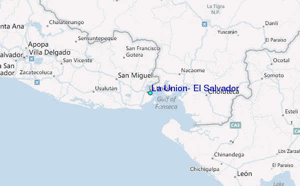