
| Distance / Altitude | Location | Report Date / Time | Live Weather | Wind | Gusts | Temp. | Visibility | Cloud |
|---|---|---|---|---|---|---|---|---|
| 6 km N / 15 m | SHIP1586 (Marine) | 2026-07-10 05:00 local (2026/07/09 19:00 GMT) | - (- km/h at -) | — | - km | |||
| 37 km W / 70 m | Nadzab (Papua New Guinea) | 2026-07-10 04:00 local (2026/07/09 18:00 GMT) | rain | - (- km/h at -) | 25°C | 30 | - - - | |
| 195 km W / 1587 m | Goroka Highlands Airport (Papua-New Guinea) | 2026-07-10 04:00 local (2026/07/09 18:00 GMT) | - | - (- km/h at -) | — | 30 | - - - | |
| 294 km S / 48 m | Port Moresby (Papua New Guinea) | 2026-07-10 04:00 local (2026/07/09 18:00 GMT) | haze | fresh winds from the SSE (30 km/h at 160) | 26°C | 20 | - - - | |
| 540 km SE / 23 m | Gurney (Papua New Guinea) | 2026-07-10 04:00 local (2026/07/09 18:00 GMT) | distant precipitation but not falling at station | - (- km/h at -) | 26°C | 30 | - - - | |
| 6 km S / 15 m | SHIP1501 (Marine) | 2026-07-10 04:00 local (2026/07/09 18:00 GMT) | - (- km/h at -) | — | - km | |||
| 6 km S / 3 m | SHIP3610 (Marine) | 2026-07-10 04:00 local (2026/07/09 18:00 GMT) | - (- km/h at -) | 24°C | - | |||
| 6 km S / 15 m | SHIP2080 (Marine) | 2026-07-10 04:00 local (2026/07/09 18:00 GMT) | - (- km/h at -) | — | - km | |||
| 6 km S / 15 m | SHIP2396 (Marine) | 2026-07-10 03:00 local (2026/07/09 17:00 GMT) | - (- km/h at -) | — | - km | |||
| 6 km S / 3 m | SHIP6199 (Marine) | 2026-07-10 03:00 local (2026/07/09 17:00 GMT) | - (- km/h at -) | 24°C | - |
| Contours: | Roads & Rivers: | Select a
tide station / surf break / city |
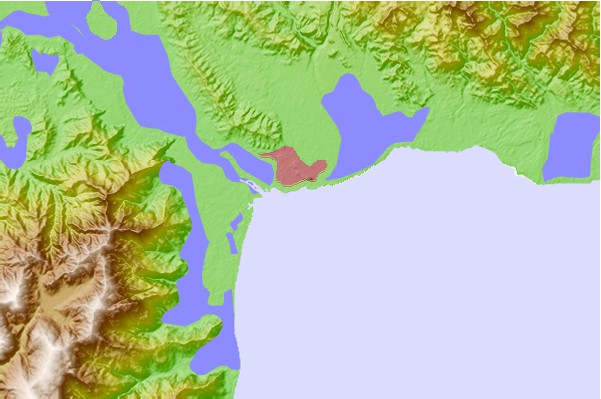
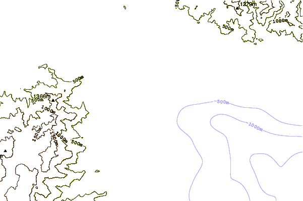
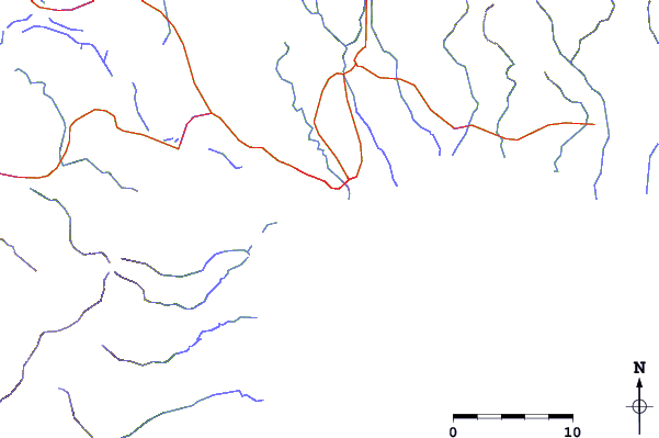
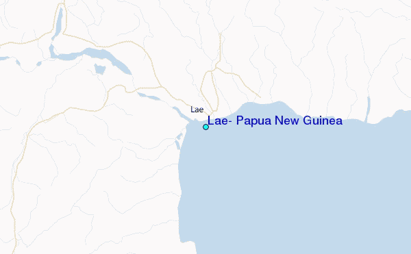
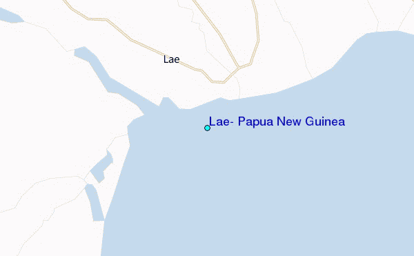
Use this relief map to navigate to tide stations, surf breaks and cities that are in the area of Lae, Papua New Guinea.
Other Nearby Locations' tide tables and tide charts to Lae, Papua New Guinea:
click location name for more details
 Surf breaks close to Lae, Papua New Guinea:
|
||
|---|---|---|
| Closest surf break | Tupira Right | 192 mi |
| Second closest surf break | Forok Point | 311 mi |
| Third closest surf break | Moem Point | 317 mi |
| Fourth closest surf break | The Wharf (Mission Point) | 318 mi |
| Fifth closest surf break | Wewak Point | 321 mi |


 Nearest
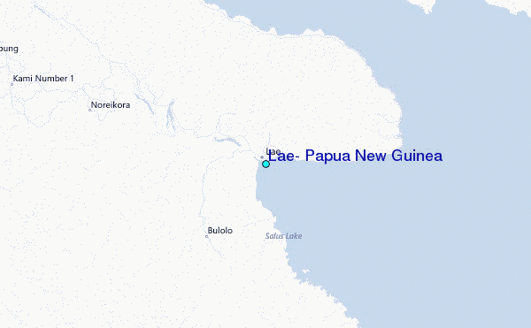