
| Distance / Altitude | Location | Report Date / Time | Live Weather | Wind | Gusts | Temp. | Visibility | Cloud |
|---|---|---|---|---|---|---|---|---|
| 191 km N / 272 m | Puerto Cabezas Airport (Nicaragua) | 2026-07-09 12:00 local (2026/07/09 18:00 GMT) | Dry and partly cloudy | moderate winds from the E (22 km/h at 90) | 31°C | 7.0 | scattered scattered | |
| 199 km W / 120 m | lightning 23km NE of Waslala (Nicaragua) | 2026-07-09 11:18 local (2026/07/09 17:18 GMT) | Thunderstorm | (- km/h at -) | — | |||
| 213 km E / 164 m | San Andres Island Airport (Columbia) | 2026-07-09 12:00 local (2026/07/09 18:00 GMT) | Dry and partly cloudy | moderate winds from the ENE (20 km/h at 70) | 31°C | 10.0 | scattered | |
| 225 km NW / 145 m | lightning 19km N of Bonanza (Nicaragua) | 2026-07-09 12:47 local (2026/07/09 18:47 GMT) | Thunderstorm | (- km/h at -) | — | |||
| 225 km WNW / 400 m | lightning 32km NW of Siuna (Nicaragua) | 2026-07-09 12:01 local (2026/07/09 18:01 GMT) | Thunderstorm | (- km/h at -) | — | |||
| 233 km S / 89 m | La Vega wx (Costa Rica) | 2026-07-09 13:16 local (2026/07/09 19:16 GMT) | - | - (- km/h at ) | 29°C | - | - - 0 | |
| 263 km S / 1200 m | Barva (Costa Rica) | 2026-07-09 13:05 local (2026/07/09 19:05 GMT) | dry | moderate winds from the ENE (21 km/h at 66) | 26°C | - | - - 0 | |
| 267 km S / 692 m | Juan Santamaria Airport (Costa Rica) | 2026-07-09 12:00 local (2026/07/09 18:00 GMT) | Dry and partly cloudy | wind obs. (26 kph from 90 degs) was rejected (- km/h at -) | 30°C | 10.0 | few scattered | |
| 271 km S / 994 m | Tobias Bolano Airport (Costa Rica) | 2026-07-09 12:00 local (2026/07/09 18:00 GMT) | Dry and partly cloudy | wind obs. (24 kph from 70 degs) was rejected (- km/h at -) | 28°C | 10.0 | broken | |
| 271 km S / 1195 m | San Jose (Costa Rica) | 2026-07-09 13:44 local (2026/07/09 19:44 GMT) | dry | light winds from the ENE (19 km/h at 64) | 25°C | - | - - 0 |
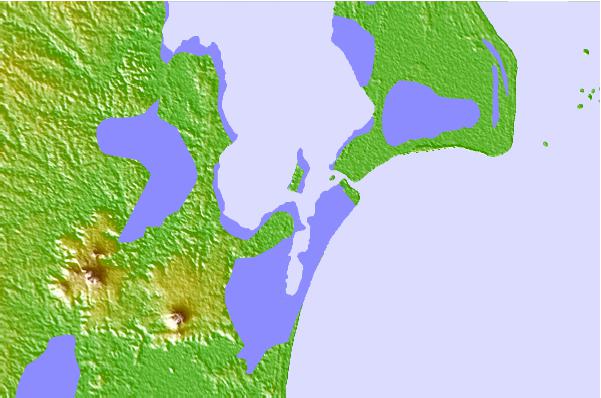
| Contours: | Roads & Rivers: | Select a
tide station / surf break / city |
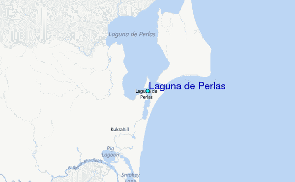
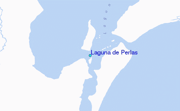
Use this relief map to navigate to tide stations, surf breaks and cities that are in the area of Laguna de Perlas.
Other Nearby Locations' tide tables and tide charts to Laguna de Perlas:
click location name for more details
 Surf breaks close to Laguna de Perlas:
|
||
|---|---|---|
| Closest surf break | Tortuguero | 162 mi |
| Second closest surf break | Ostional | 166 mi |
| Third closest surf break | El Coco | 167 mi |
| Fourth closest surf break | Playa Bonita | 167 mi |
| Fifth closest surf break | Playa El Yanqui | 167 mi |


 Nearest
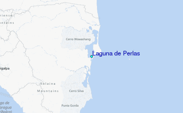