
| Distance / Altitude | Location | Report Date / Time | Live Weather | Wind | Gusts | Temp. | Visibility | Cloud |
|---|---|---|---|---|---|---|---|---|
| 2 km ESE / 202 m | Montauk Airport (New York) | 2026-07-09 14:54 local (2026/07/09 18:54 GMT) | - | light winds from the N (9 km/h at 1) | 26°C | 0.0 | ||
| 3 km SSW / 3 m | BUOY-MTKN6 (Marine) | 2026-07-09 15:36 local (2026/07/09 19:36 GMT) | - (- km/h at -) | 23°C | - | |||
| 24 km NE / 15 m | SHIP3458 (Marine) | 2026-07-09 14:00 local (2026/07/09 18:00 GMT) | - (- km/h at -) | — | - km | |||
| 30 km NW / 218 m | Groton/New London Airport (Connecticut) | 2026-07-09 14:56 local (2026/07/09 18:56 GMT) | Clear | light winds from the SSW (15 km/h at 200) | 24°C | 16 | ||
| 33 km NNE / 218 m | Westerly Airport (Rhode Island) | 2026-07-09 14:53 local (2026/07/09 18:53 GMT) | Clear | light winds from the S (19 km/h at 190) | 27°C | 16 | ||
| 24 km NE / 3 m | SHIP1045 (Marine) | 2026-07-09 14:00 local (2026/07/09 18:00 GMT) | - (- km/h at -) | — | - | |||
| 24 km NE / 3 m | SHIP4797 (Marine) | 2026-07-09 14:00 local (2026/07/09 18:00 GMT) | - (- km/h at -) | — | - | |||
| 24 km NE / 15 m | SHIP2221 (Marine) | 2026-07-09 14:00 local (2026/07/09 18:00 GMT) | - (- km/h at -) | — | - km | |||
| 24 km NE / 15 m | SHIP7755 (Marine) | 2026-07-09 14:00 local (2026/07/09 18:00 GMT) | - (- km/h at -) | — | - km | |||
| 24 km NE / 15 m | SHIP6387 (Marine) | 2026-07-09 14:00 local (2026/07/09 18:00 GMT) | - (- km/h at -) | — | - km |
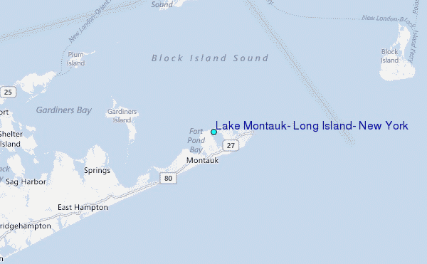
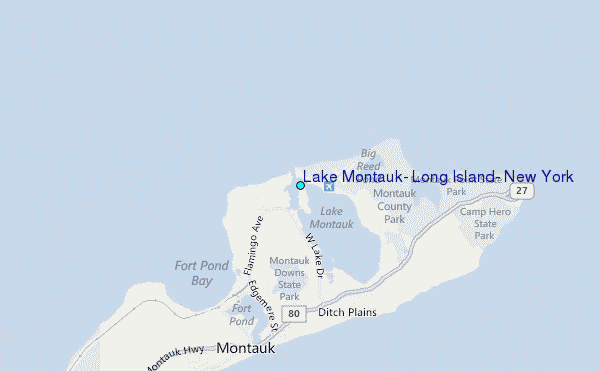
Choose Lake Montauk, Long Island, New York Location Map Zoom:
| Contours: | Roads & Rivers: | Select a
tide station / surf break / city |
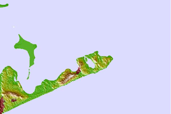
Use this relief map to navigate to tide stations, surf breaks and cities that are in the area of Lake Montauk, Long Island, New York.
Other Nearby Locations' tide tables and tide charts to Lake Montauk, Long Island, New York:
click location name for more details
 Surf breaks close to Lake Montauk, Long Island, New York:
|
||
|---|---|---|
| Closest surf break | Trailor Park | 2 mi |
| Second closest surf break | Ditch Plains | 3 mi |
| Third closest surf break | North Bar | 3 mi |
| Fourth closest surf break | Fortress | 4 mi |
| Fifth closest surf break | Montauk Point - Turtles | 4 mi |


 Nearest
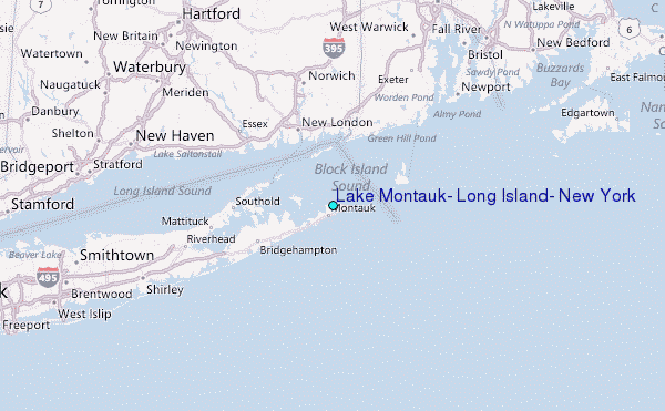