
| Distance / Altitude | Location | Report Date / Time | Live Weather | Wind | Gusts | Temp. | Visibility | Cloud |
|---|---|---|---|---|---|---|---|---|
| 188 km SW / 0 m | lightning 16km NW of Semporna (Malaysia) | 2026-07-10 03:33 local (2026/07/09 19:33 GMT) | Thunderstorm | (- km/h at -) | — | |||
| 234 km W / 215 m | Sandakan Airport (Malaysia) | 2026-07-10 02:00 local (2026/07/09 18:00 GMT) | - | calm (4 km/h at 1) | 26°C | 10.0 | few | |
| 256 km SSW / 0 m | lightning 57km ESE of Tawau (Malaysia) | 2026-07-10 03:19 local (2026/07/09 19:19 GMT) | Thunderstorm | (- km/h at -) | — | |||
| 269 km SW / 215 m | Tawau/Kalimantan Airport (Malaysia) | 2026-07-10 02:00 local (2026/07/09 18:00 GMT) | Thunderstorm light rain thunderstorm | calm (4 km/h at 1) | 25°C | 7.0 | few scattered | |
| 285 km NE / 417 m | Zamboanga Airport (Philippines) | 2026-07-10 02:00 local (2026/07/09 18:00 GMT) | haze | light winds from the W (11 km/h at 270) | 28°C | 10 | few broken - | |
| 311 km SW / 1 m | lightning 51km N of Tarakan (Indonesia) | 2026-07-10 01:32 local (2026/07/09 17:32 GMT) | Thunderstorm | (- km/h at -) | — | |||
| 351 km SSW / 50 m | Juwata Airport (Indonesia) | 2026-07-10 02:30 local (2026/07/09 18:30 GMT) | - | light winds from the SSW (11 km/h at 210) | — | 0.0 | ||
| 352 km NNE / 0 m | lightning 167km WNW of Siocon (Philippines) | 2026-07-10 03:16 local (2026/07/09 19:16 GMT) | Thunderstorm | (- km/h at -) | — | |||
| 376 km SSE / 0 m | lightning 246km NW of Gorontalo (Indonesia) | 2026-07-10 01:03 local (2026/07/09 17:03 GMT) | Thunderstorm | (- km/h at -) | — | |||
| 399 km S / 15 m | SHIP5971 (Marine) | 2026-07-10 02:00 local (2026/07/09 18:00 GMT) | near gales from the SSW (55.440000000000005 km/h at 210) | 30°C | 17.7 km |
| Contours: | Roads & Rivers: | Select a
tide station / surf break / city |
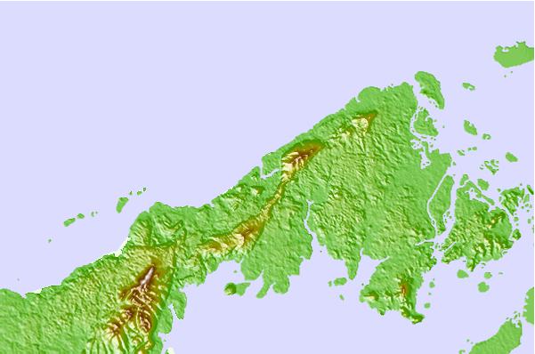
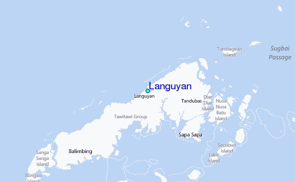
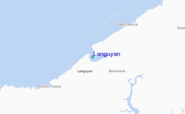
Use this relief map to navigate to tide stations, surf breaks and cities that are in the area of Languyan.
Other Nearby Locations' tide tables and tide charts to Languyan:
click location name for more details
 Surf breaks close to Languyan:
|
||
|---|---|---|
| Closest surf break | Kudat (Pantai Kosuhui) | 260 mi |
| Second closest surf break | Kota Belud | 264 mi |
| Third closest surf break | Shabandar | 277 mi |
| Fourth closest surf break | Nexus | 280 mi |
| Fifth closest surf break | Nexus West End | 280 mi |


 Nearest
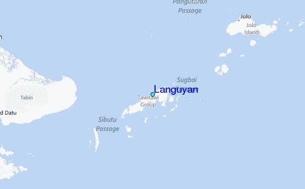