
| Distance / Altitude | Location | Report Date / Time | Live Weather | Wind | Gusts | Temp. | Visibility | Cloud |
|---|---|---|---|---|---|---|---|---|
| 27 km WSW / 46 m | Scow Bay wx (United States) | 2026-06-23 19:04 local (2026/06/24 03:04 GMT) | dry | calm (0 km/h at 225) | 19°C | - | - - 0 | |
| 29 km WSW / 216 m | Petersburg Airport (Alaska) | 2026-06-23 17:56 local (2026/06/24 01:56 GMT) | Dry and partly cloudy | light winds from the W (9 km/h at 280) | 17°C | 16 | scattered | |
| 30 km WSW / 15 m | SHIP1723 (Marine) | 2026-06-23 17:00 local (2026/06/24 01:00 GMT) | light winds from the N (12.96 km/h at 10) | — | - km | |||
| 35 km SSE / 215 m | Wrangell Airport (Alaska) | 2026-06-23 17:56 local (2026/06/24 01:56 GMT) | Dry and cloudy | light winds from the WNW (11 km/h at 290) | 17°C | 16 | scattered overcast | |
| 36 km SSE / 3 m | BUOY-WGXA2 (Marine) | 2026-06-23 19:02 local (2026/06/24 03:02 GMT) | calm (4 km/h at 340) | — | - | |||
| 30 km WSW / 15 m | SHIP4700 (Marine) | 2026-06-23 17:00 local (2026/06/24 01:00 GMT) | light winds from the N (11.16 km/h at 10) | — | - km | |||
| 30 km WSW / 15 m | SHIP1659 (Marine) | 2026-06-23 17:00 local (2026/06/24 01:00 GMT) | light winds from the E (11.16 km/h at 80) | — | - km | |||
| 30 km WSW / 3 m | SHIP8596 (Marine) | 2026-06-23 18:00 local (2026/06/24 02:00 GMT) | light winds from the E (11 km/h at 90) | 15°C | - | |||
| 30 km WSW / 15 m | SHIP6659 (Marine) | 2026-06-23 18:00 local (2026/06/24 02:00 GMT) | light winds from the E (11.16 km/h at 90) | — | - km | |||
| 30 km WSW / 15 m | SHIP7044 (Marine) | 2026-06-23 17:00 local (2026/06/24 01:00 GMT) | light winds from the E (12.96 km/h at 80) | — | - km |
| Contours: | Roads & Rivers: | Select a
tide station / surf break / city |
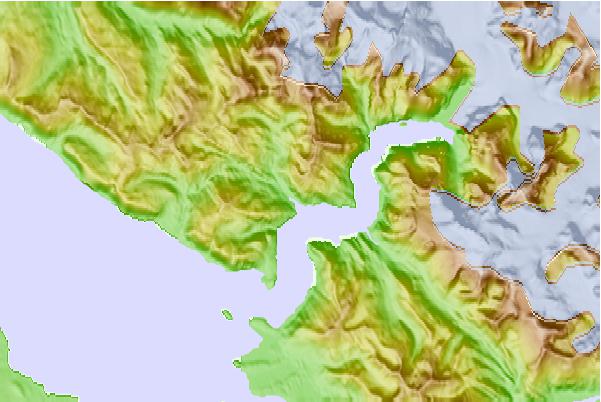
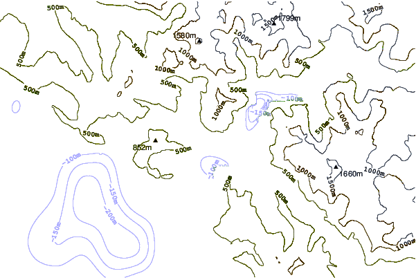
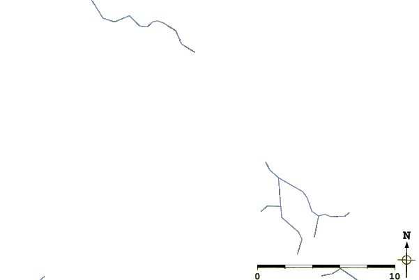
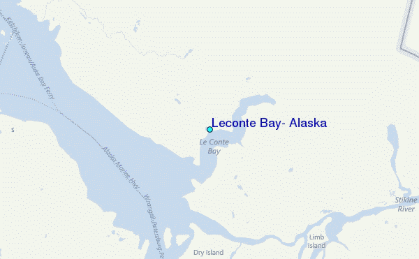
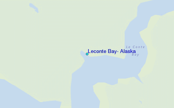
Use this relief map to navigate to tide stations, surf breaks and cities that are in the area of Leconte Bay, Alaska.
Other Nearby Locations' tide tables and tide charts to Leconte Bay, Alaska:
click location name for more details
 Surf breaks close to Leconte Bay, Alaska:
|
||
|---|---|---|
| Closest surf break | Lepus Beach (Haida-Gwaii) | 182 mi |
| Second closest surf break | Tow Hill Beach | 190 mi |
| Third closest surf break | Cannon Beach | 324 mi |
| Fourth closest surf break | Graveyards | 328 mi |
| Fifth closest surf break | Ocean Cape | 329 mi |


 Nearest
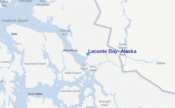