
| Distance / Altitude | Location | Report Date / Time | Live Weather | Wind | Gusts | Temp. | Visibility | Cloud |
|---|---|---|---|---|---|---|---|---|
| 69 km N / 15 m | ASCATB323E54S (Marine) | 2026-07-09 21:39 local (2026/07/09 23:39 GMT) | fresh winds from the SW (32 km/h at 220) | — | - km | |||
| 91 km S / 15 m | ASCATB323E55S (Marine) | 2026-07-09 21:39 local (2026/07/09 23:39 GMT) | moderate winds from the WNW (23 km/h at 296) | — | - km | |||
| 91 km SW / 15 m | ASCATB322E55S (Marine) | 2026-07-09 21:39 local (2026/07/09 23:39 GMT) | moderate winds from the W (22 km/h at 279) | — | - km | |||
| 94 km WNW / 15 m | ASCATB322E54S (Marine) | 2026-07-09 21:39 local (2026/07/09 23:39 GMT) | strong winds from the SW (39 km/h at 228) | — | - km | |||
| 95 km NE / 15 m | ASCATB324E54S (Marine) | 2026-07-09 21:39 local (2026/07/09 23:39 GMT) | moderate winds from the W (22 km/h at 260) | — | - km | |||
| 123 km SSE / 15 m | ASCATB324E55S (Marine) | 2026-07-09 21:39 local (2026/07/09 23:39 GMT) | fresh winds from the W (38 km/h at 275) | — | - km | |||
| 129 km ESE / 15 m | ASCATB325E55S (Marine) | 2026-07-09 21:39 local (2026/07/09 23:39 GMT) | moderate winds from the WSW (24 km/h at 240) | — | - km | |||
| 134 km ENE / 15 m | ASCATB325E54S (Marine) | 2026-07-09 21:39 local (2026/07/09 23:39 GMT) | fresh winds from the WSW (30 km/h at 256) | — | - km | |||
| 137 km SW / 15 m | ASCATB321E55S (Marine) | 2026-07-09 21:39 local (2026/07/09 23:39 GMT) | moderate winds from the WNW (25 km/h at 284) | — | - km | |||
| 154 km W / 15 m | ASCATB321E54S (Marine) | 2026-07-09 21:39 local (2026/07/09 23:39 GMT) | fresh winds from the SW (32 km/h at 236) | — | - km |
| Contours: | Roads & Rivers: | Select a
tide station / surf break / city |
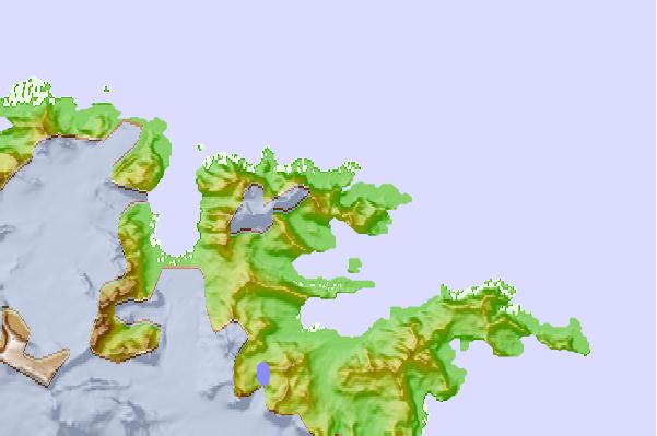
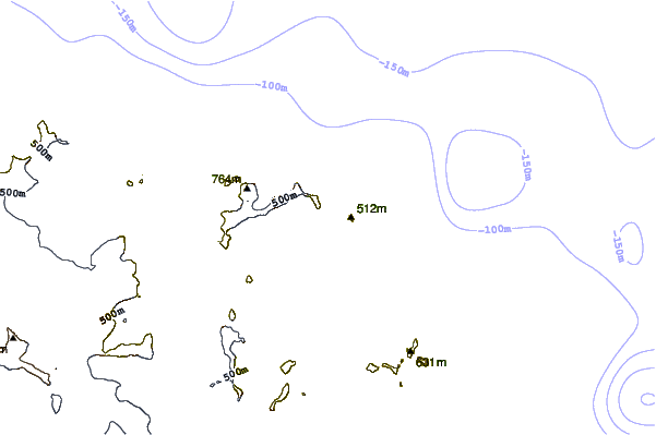
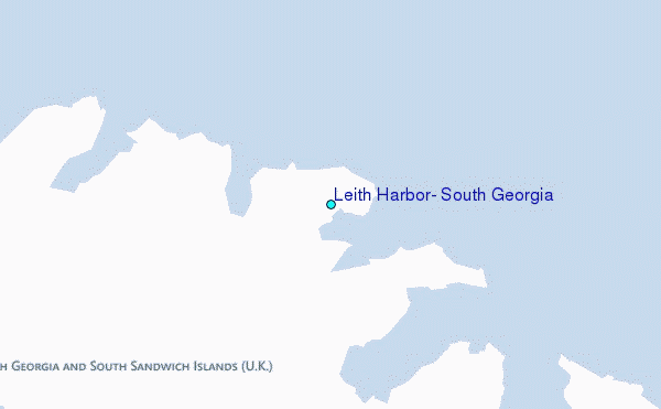
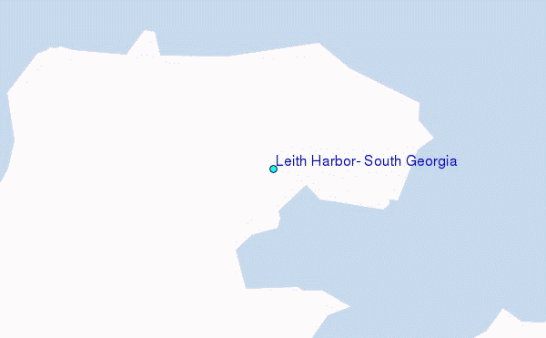
Use this relief map to navigate to tide stations, surf breaks and cities that are in the area of Leith Harbor, South Georgia.
Other Nearby Locations' tide tables and tide charts to Leith Harbor, South Georgia:
click location name for more details
 Surf breaks close to Leith Harbor, South Georgia:
|
||
|---|---|---|
| Closest surf break | Surf Bay | 892 mi |
| Second closest surf break | Cow Bay | 901 mi |
| Third closest surf break | Bertha's Beach | 912 mi |
| Fourth closest surf break | Concirdia Bay | 934 mi |
| Fifth closest surf break | Elephant Beach | 943 mi |


 Nearest
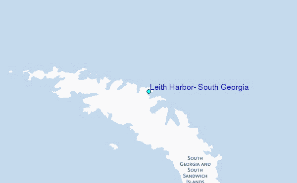