
| Distance / Altitude | Location | Report Date / Time | Live Weather | Wind | Gusts | Temp. | Visibility | Cloud |
|---|---|---|---|---|---|---|---|---|
| 561 km W / 192 m | Pohnpei Airport (Micronesia) | 2026-07-10 03:50 local (2026/07/09 18:50 GMT) | Dry and cloudy | calm (0 km/h at 0) | 25°C | 24 | broken overcast overcast | |
| 642 km NE / 3 m | BUOY-KWJP8 (Marine) | 2026-07-10 04:48 local (2026/07/09 19:48 GMT) | - (- km/h at -) | — | - | |||
| 643 km NE / 215 m | Kwajalein/buchol Airport (Marshall Islands) | 2026-07-10 04:40 local (2026/07/09 19:40 GMT) | Dry and partly cloudy | calm (0 km/h at 0) | 28°C | 16 | broken scattered broken | |
| 720 km SW / 7 m | Cassidy International Airport (Kiribati) | 2026-07-10 04:00 local (2026/07/09 19:00 GMT) | Dry and partly cloudy | wind obs. (7 kph from 90 degs) was rejected (- km/h at -) | 31°C | 10.0 | few scattered | |
| 926 km ENE / 208 m | Majuro Atoll Airport (Marshall Islands) | 2026-07-10 03:50 local (2026/07/09 18:50 GMT) | Dry and cloudy | calm (0 km/h at 0) | 28°C | 24 | few scattered overcast | |
| 933 km ENE / 169 m | Majuro Wso Airport (Marshall Islands) | 2026-07-10 04:53 local (2026/07/09 19:53 GMT) | Dry and partly cloudy | light winds from the N (7 km/h at 1) | — | 24 | few scattered broken | |
| 945 km ENE / 3 m | Kalo- Majuro- Marshall Islands (Marine) | 2026-07-10 03:30 local (2026/07/09 18:30 GMT) | - (- km/h at -) | 26°C | - | |||
| 979 km ENE / 3 m | BUOY-52216 (Marine) | 2026-07-10 04:30 local (2026/07/09 19:30 GMT) | - (- km/h at -) | — | - | |||
| 1185 km ESE / 2 m | Tarawa Kiribati Airport (Fiji/tonga/tuvalu) | 2026-07-10 04:00 local (2026/07/09 19:00 GMT) | Dry and partly cloudy | light winds from the WSW (11 km/h at 240) | 28°C | 10.0 | few scattered - | |
| 1258 km W / 211 m | Weno Island/Chuuk International Airport (Micronesia) | 2026-07-10 03:51 local (2026/07/09 18:51 GMT) | Dry and cloudy | light winds from the N (11 km/h at 10) | 29°C | 24 | few scattered overcast |
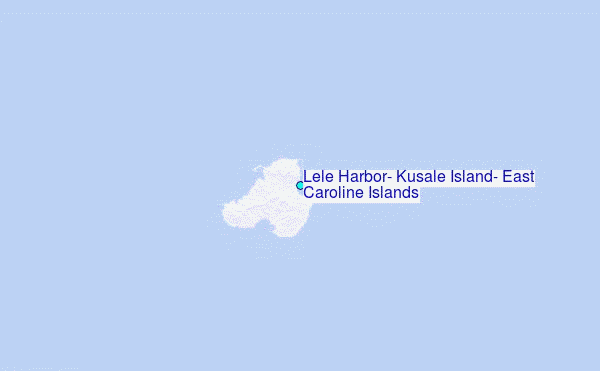
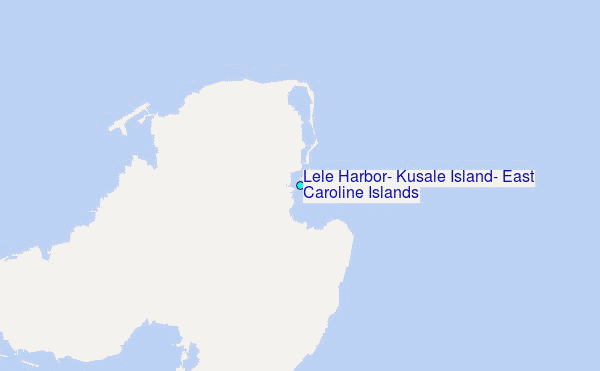
Choose Lele Harbor, Kusale Island, East Caroline Islands Location Map Zoom:
| Contours: | Roads & Rivers: | Select a
tide station / surf break / city |
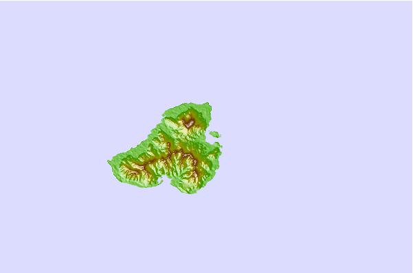
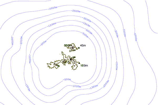
Use this relief map to navigate to tide stations, surf breaks and cities that are in the area of Lele Harbor, Kusale Island, East Caroline Islands.
Other Nearby Locations' tide tables and tide charts to Lele Harbor, Kusale Island, East Caroline Islands:
click location name for more details
 Surf breaks close to Lele Harbor, Kusale Island, East Caroline Islands:
|
||
|---|---|---|
| Closest surf break | Sidedish | 6 mi |
| Second closest surf break | Walung | 7 mi |
| Third closest surf break | Naa | 732 mi |
| Fourth closest surf break | Simberi Island | 938 mi |
| Fifth closest surf break | Rubio | 963 mi |


 Nearest
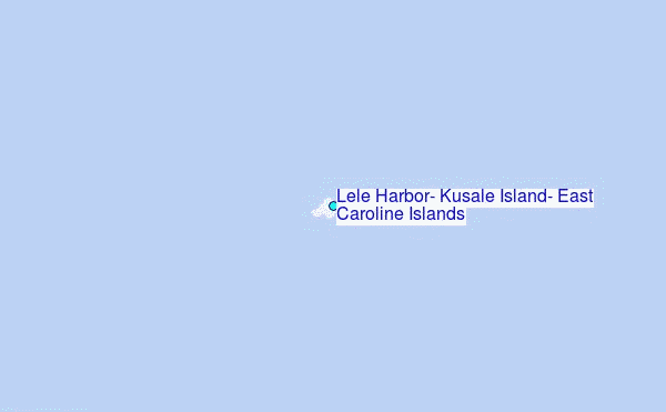