
| Distance / Altitude | Location | Report Date / Time | Live Weather | Wind | Gusts | Temp. | Visibility | Cloud |
|---|---|---|---|---|---|---|---|---|
| 141 km NNE / 70 m | Lupepau u (Tonga) | 2026-07-10 07:00 local (2026/07/09 18:00 GMT) | no report | - (- km/h at -) | 26°C | 20 | - | |
| 179 km S / 41 m | Fua amotu (Tonga) | 2026-07-10 08:00 local (2026/07/09 19:00 GMT) | state of sky unchanged | wind obs. (13 kph from 160 degs) was rejected (- km/h at -) | 22°C | 20 | - - - | |
| 179 km S / 200 m | Fua Amotu Tonga Airport (Tonga) | 2026-07-10 07:00 local (2026/07/09 18:00 GMT) | Dry and partly cloudy | calm (4 km/h at 1) | 17°C | 10.0 | few scattered | |
| 431 km N / 3 m | Keppel/Mata aho Airport (Tonga) | 2026-07-10 07:00 local (2026/07/09 18:00 GMT) | no report | - (- km/h at -) | 28°C | 20 | - | |
| 466 km SW / 28 m | Ono -I -Lau (Fiji) | 2026-07-10 07:00 local (2026/07/09 18:00 GMT) | no report | wind obs. (15 kph from 330 degs) was rejected (- km/h at -) | 24°C | - | - | |
| 473 km E / 189 m | Alofi Airport (Samoa/polynesia) | 2026-07-10 07:30 local (2026/07/09 18:30 GMT) | - | light winds from the SW.(Wind varies from 180 to 250 degs) (11 km/h at 220) | 22°C | |||
| 500 km W / 3 m | Lakemba Island (Fiji) | 2026-07-10 07:00 local (2026/07/09 18:00 GMT) | no report | wind obs. (7 kph from 160 degs) was rejected (- km/h at -) | 26°C | - | - - - | |
| 563 km W / 52 m | Vanua Balavu (Fiji) | 2026-07-10 07:00 local (2026/07/09 18:00 GMT) | no report | light winds from the SSE (15 km/h at 160) | 25°C | - | - - - | |
| 624 km WSW / 5 m | Matuku (Fiji) | 2026-07-10 07:00 local (2026/07/09 18:00 GMT) | no report | wind obs. (15 kph from 160 degs) was rejected (- km/h at -) | 25°C | - | - | |
| 685 km NNE / 368 m | Faleolo International/Apia Airport (Samoa/polynesia) | 2026-07-10 07:00 local (2026/07/09 18:00 GMT) | Dry and cloudy | light winds from the SSW (9 km/h at 210) | 25°C | 10.0 | few scattered overcast |
| Contours: | Roads & Rivers: | Select a
tide station / surf break / city |
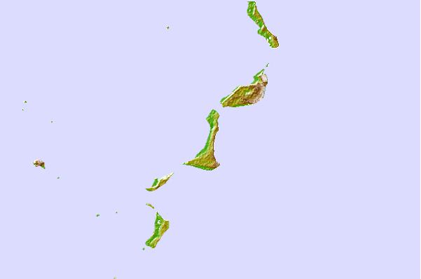
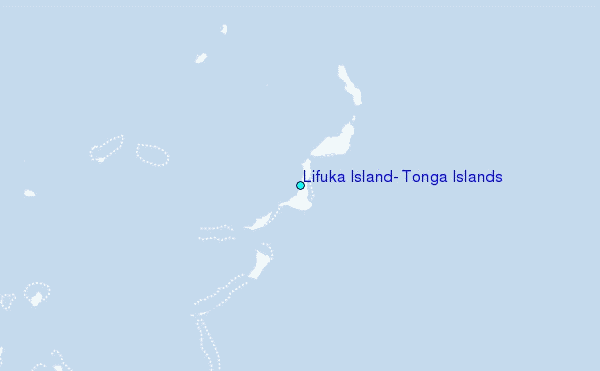
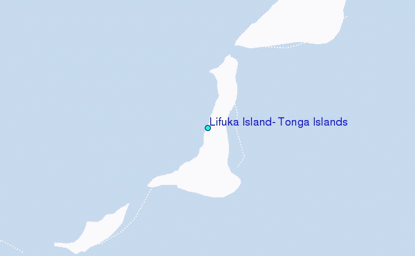
Use this relief map to navigate to tide stations, surf breaks and cities that are in the area of Lifuka Island, Tonga Islands.
Other Nearby Locations' tide tables and tide charts to Lifuka Island, Tonga Islands:
click location name for more details
 Surf breaks close to Lifuka Island, Tonga Islands:
|
||
|---|---|---|
| Closest surf break | Taula left (The left over there) | 70 mi |
| Second closest surf break | Bowling left | 70 mi |
| Third closest surf break | Drive by right (Fonua one one) | 70 mi |
| Fourth closest surf break | Oh Right | 70 mi |
| Fifth closest surf break | Peaking | 70 mi |


 Nearest
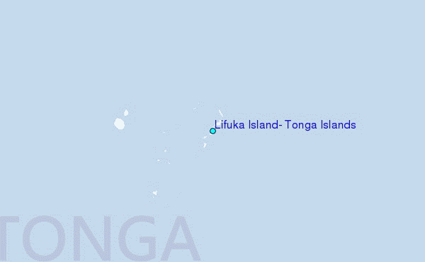