
| Distance / Altitude | Location | Report Date / Time | Live Weather | Wind | Gusts | Temp. | Visibility | Cloud |
|---|---|---|---|---|---|---|---|---|
| 26 km WSW / 3 m | BUOY-FRWL1 (Marine) | 2026-07-08 12:48 local (2026/07/08 17:48 GMT) | light winds from the N (9 km/h at 350) | — | - | |||
| 29 km ENE / 0 m | lightning 32km SW of Baldwin (United States) | 2026-07-08 13:03 local (2026/07/08 18:03 GMT) | Thunderstorm | (- km/h at -) | — | |||
| 40 km N / 2 m | lightning 9km SSW of Erath (United States) | 2026-07-08 12:33 local (2026/07/08 17:33 GMT) | Thunderstorm | (- km/h at -) | — | |||
| 47 km W / 1 m | lightning 32km S of Gueydan (United States) | 2026-07-08 12:33 local (2026/07/08 17:33 GMT) | Thunderstorm | (- km/h at -) | — | |||
| 48 km NW / 3 m | lightning 5km SW of Abbeville (United States) | 2026-07-08 13:30 local (2026/07/08 18:30 GMT) | Thunderstorm | (- km/h at -) | — | |||
| 49 km N / 3 m | thunderstorm affecting Delcambre (United States) | 2026-07-08 13:18 local (2026/07/08 18:18 GMT) | Thunderstorm | (- km/h at -) | — | |||
| 49 km NW / 3 m | lightning 8km ESE of Kaplan (United States) | 2026-07-08 13:30 local (2026/07/08 18:30 GMT) | Thunderstorm | (- km/h at -) | — | |||
| 51 km NE / 2 m | lightning 6km SSW of Jeanerette (United States) | 2026-07-08 13:31 local (2026/07/08 18:31 GMT) | Thunderstorm | (- km/h at -) | — | |||
| 52 km NNE / 4 m | lightning 9km SE of New Iberia (United States) | 2026-07-08 13:16 local (2026/07/08 18:16 GMT) | Thunderstorm | (- km/h at -) | — | |||
| 55 km NW / 3.7 m | Kaplan (Louisiana) | 2026-07-08 13:03 local (2026/07/08 18:03 GMT) | dry | calm (3 km/h at 219) | 33°C | - | - - 0 |
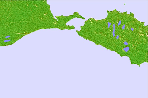
| Contours: | Roads & Rivers: | Select a
tide station / surf break / city |

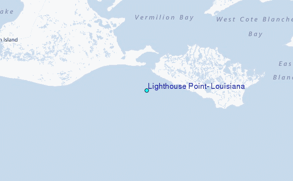
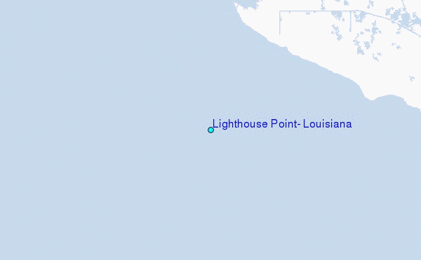
Use this relief map to navigate to tide stations, surf breaks and cities that are in the area of Lighthouse Point, Louisiana.
Other Nearby Locations' tide tables and tide charts to Lighthouse Point, Louisiana:
click location name for more details
 Surf breaks close to Lighthouse Point, Louisiana:
|
||
|---|---|---|
| Closest surf break | Holly Beach | 87 mi |
| Second closest surf break | Bolivar | 145 mi |
| Third closest surf break | Meacom Pier | 162 mi |
| Fourth closest surf break | Galveston - Flagship Pier | 164 mi |
| Fifth closest surf break | Galveston | 165 mi |


 Nearest
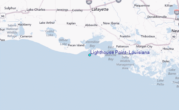