
| Distance / Altitude | Location | Report Date / Time | Live Weather | Wind | Gusts | Temp. | Visibility | Cloud |
|---|---|---|---|---|---|---|---|---|
| 49 km ENE / 191 m | Kingston/Norman Manley International Airport (Jamaica) | 2026-07-09 13:00 local (2026/07/09 18:00 GMT) | - | fresh winds from the ESE (33 km/h at 120) | 33°C | |||
| 93 km N / 0 m | lightning 25km NNE of Runaway Bay (Jamaica) | 2026-07-09 12:32 local (2026/07/09 17:32 GMT) | Thunderstorm | (- km/h at -) | — | |||
| 106 km WNW / 193 m | Sangster/Montego Bay Airport (Jamaica) | 2026-07-09 13:00 local (2026/07/09 18:00 GMT) | Dry and partly cloudy | fresh winds from the E (30 km/h at 90) | 33°C | 10.0 | scattered few | |
| 229 km ESE / 0 m | lightning 135km E of Dalvey (Jamaica) | 2026-07-09 14:18 local (2026/07/09 19:18 GMT) | Thunderstorm | (- km/h at -) | — | |||
| 236 km ESE / 0 m | lightning 138km SSW of Tiburon (Haiti) | 2026-07-09 14:04 local (2026/07/09 19:04 GMT) | Thunderstorm | (- km/h at -) | — | |||
| 270 km ENE / 0 m | lightning 40km WNW of Les Irois (Haiti) | 2026-07-09 14:50 local (2026/07/09 19:50 GMT) | Thunderstorm | (- km/h at -) | — | |||
| 276 km WNW / 0 m | lightning 155km NW of Lucea (Jamaica) | 2026-07-09 13:03 local (2026/07/09 18:03 GMT) | Thunderstorm | (- km/h at -) | — | |||
| 282 km NNE / 209 m | Santiago De Cuba Airport (Cuba) | 2026-07-09 12:50 local (2026/07/09 17:50 GMT) | - | moderate winds from the SE.(Wind varies from 090 to 170 degs) (20 km/h at 130) | 32°C | 9.0 | few | |
| 304 km WNW / 0 m | lightning 170km SW of Santa Cruz del Sur (Cuba) | 2026-07-09 12:33 local (2026/07/09 17:33 GMT) | Thunderstorm | (- km/h at -) | — | |||
| 309 km ENE / 0 m | lightning 14km NNW of Dame-Marie (Haiti) | 2026-07-09 14:48 local (2026/07/09 19:48 GMT) | Thunderstorm | (- km/h at -) | — |
| Contours: | Roads & Rivers: | Select a
tide station / surf break / city |
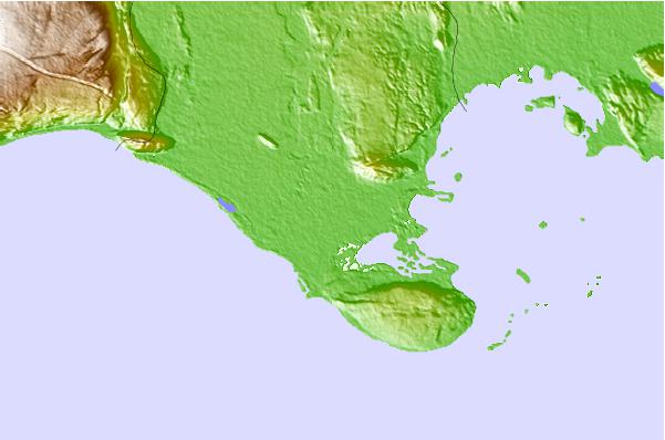
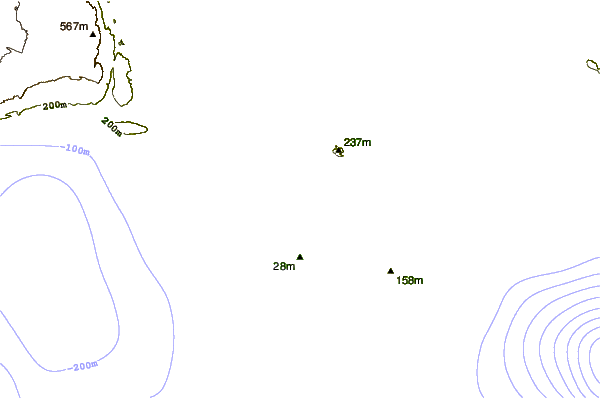
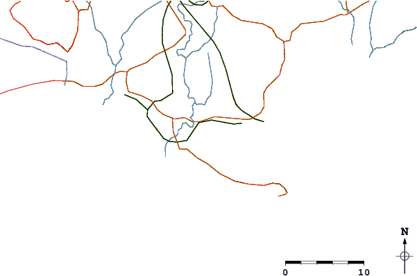
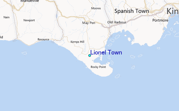
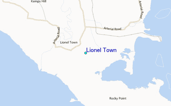
Use this relief map to navigate to tide stations, surf breaks and cities that are in the area of Lionel Town.
Other Nearby Locations' tide tables and tide charts to Lionel Town:
click location name for more details
 Surf breaks close to Lionel Town:
|
||
|---|---|---|
| Closest surf break | Lighthouse 2 | 31 mi |
| Second closest surf break | Zoo (Bull Bay) | 35 mi |
| Third closest surf break | Copa (Bull Bay) | 37 mi |
| Fourth closest surf break | Makka | 43 mi |
| Fifth closest surf break | Runaway Bay | 47 mi |


 Nearest
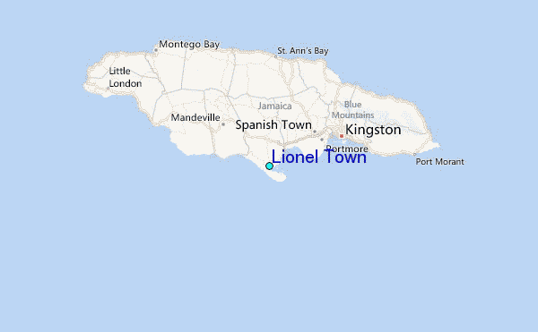