
| Distance / Altitude | Location | Report Date / Time | Live Weather | Wind | Gusts | Temp. | Visibility | Cloud |
|---|---|---|---|---|---|---|---|---|
| 11 km ENE / 395 m | Eglinton/Londonderry Airport (United Kingdom) | 2026-07-09 19:20 local (2026/07/09 18:20 GMT) | Dry and partly cloudy | light winds from the NNW (7 km/h at 330) | 21°C | 10.0 | few broken | |
| 56 km NE / 3 m | SHIP961 (Marine) | 2026-07-09 19:00 local (2026/07/09 18:00 GMT) | - (- km/h at -) | 15°C | - | |||
| 57 km ENE / 64 m | Causeway Head wx (United Kingdom) | 2026-07-09 20:10 local (2026/07/09 19:10 GMT) | dry | calm (2 km/h at 116) | 18°C | - | - - 0 | |
| 65 km WSW / 9 m | Donegal Airport (Ireland) | 2026-07-09 19:42 local (2026/07/09 18:42 GMT) | Dry and cloudy | light winds from the SW (11 km/h at 230) | 19°C | 10.0 | overcast | |
| 79 km ESE / 63 m | Aldergrove (United Kingdom) | 2026-07-09 20:00 local (2026/07/09 19:00 GMT) | no report | wind obs. (11 kph from 210 degs) was rejected (- km/h at -) | 16°C | 21 | - | |
| 57 km NE / 15 m | SHIP305 (Marine) | 2026-07-09 18:00 local (2026/07/09 17:00 GMT) | - (- km/h at -) | — | - km | |||
| 57 km NE / 15 m | SHIP6033 (Marine) | 2026-07-09 19:00 local (2026/07/09 18:00 GMT) | - (- km/h at -) | — | - km | |||
| 57 km NE / 3 m | SHIP5192 (Marine) | 2026-07-09 19:00 local (2026/07/09 18:00 GMT) | - (- km/h at -) | 15°C | - | |||
| 57 km NE / 15 m | SHIP2157 (Marine) | 2026-07-09 19:00 local (2026/07/09 18:00 GMT) | - (- km/h at -) | — | - km | |||
| 57 km NE / 3 m | SHIP4257 (Marine) | 2026-07-09 18:00 local (2026/07/09 17:00 GMT) | - (- km/h at -) | 16°C | - |
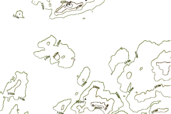
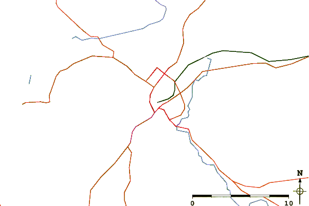
| Contours: | Roads & Rivers: | Select a
tide station / surf break / city |
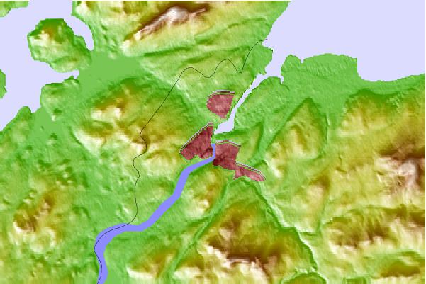
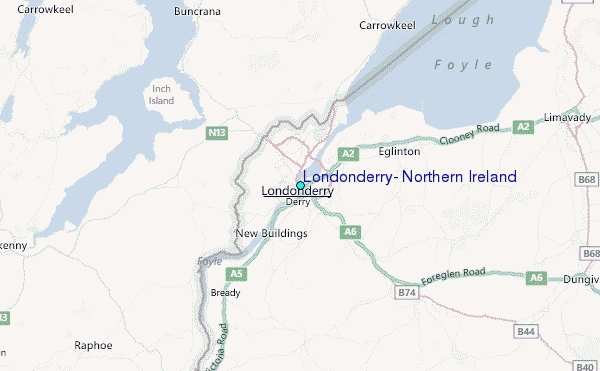
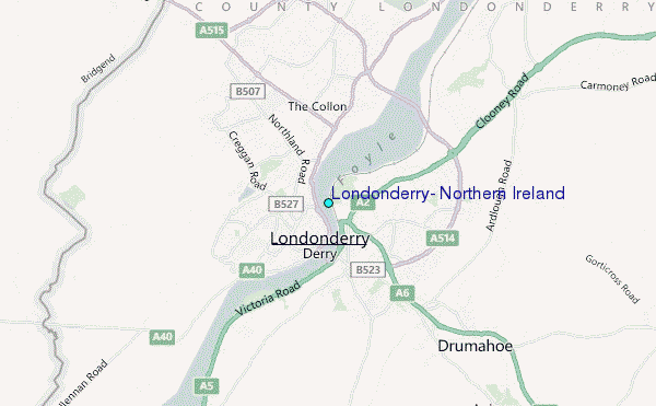
Use this relief map to navigate to tide stations, surf breaks and cities that are in the area of Londonderry, Northern Ireland.
Other Nearby Locations' tide tables and tide charts to Londonderry, Northern Ireland:
click location name for more details
 Surf breaks close to Londonderry, Northern Ireland:
|
||
|---|---|---|
| Closest surf break | Ballymastocker | 17 mi |
| Second closest surf break | Crummie's Bay | 17 mi |
| Third closest surf break | Portsalon Beach | 19 mi |
| Fourth closest surf break | Drumnacraig Beach | 20 mi |
| Fifth closest surf break | Magillian Point | 20 mi |


 Nearest
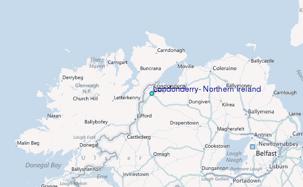