
| Distance / Altitude | Location | Report Date / Time | Live Weather | Wind | Gusts | Temp. | Visibility | Cloud |
|---|---|---|---|---|---|---|---|---|
| 19 km SSW / 219 m | Belmar/Farmdale Airport (New Jersey) | 2026-08-03 10:56 local (2026/08/03 14:56 GMT) | Moderate rain | light winds from the SSW.(Wind varies from 005 to 012 degs) (11 km/h at 210) | — | 14 | broken broken overcast | |
| 19 km N / 3 m | BUOY-SDHN4 (Marine) | 2026-08-03 11:30 local (2026/08/03 15:30 GMT) | light winds from the SW (17 km/h at 230) | 24°C | - | |||
| 20 km WNW / 11 m | Hazlet (New Jersey) | 2026-08-03 12:15 local (2026/08/03 16:15 GMT) | - | - (- km/h at ) | — | - | - - 0 | |
| 25 km ENE / 3 m | New York Harbour Buoy (Marine) | 2026-08-03 12:00 local (2026/08/03 16:00 GMT) | fresh winds from the SW (29 km/h at 220) | 24°C | - | |||
| 32 km SW / 40 m | lightning 6km SSW of West Freehold (United States) | 2026-08-03 09:31 local (2026/08/03 13:31 GMT) | Thunderstorm | (- km/h at -) | — | |||
| 35 km N / 7 m | thunderstorm affecting Brooklyn (United States) | 2026-08-03 10:05 local (2026/08/03 14:05 GMT) | Thunderstorm | (- km/h at -) | — | |||
| 35 km NW / 3 m | SHIP344 (Marine) | 2026-08-03 10:00 local (2026/08/03 14:00 GMT) | - (- km/h at -) | — | - | |||
| 35 km NW / 15 m | SHIP2887 (Marine) | 2026-08-03 10:00 local (2026/08/03 14:00 GMT) | - (- km/h at -) | — | - km | |||
| 35 km NW / 3 m | SHIP7630 (Marine) | 2026-08-03 11:00 local (2026/08/03 15:00 GMT) | - (- km/h at -) | 23°C | - | |||
| 35 km NW / 15 m | SHIP2501 (Marine) | 2026-08-03 10:00 local (2026/08/03 14:00 GMT) | - (- km/h at -) | — | - km |
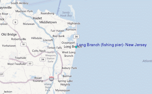
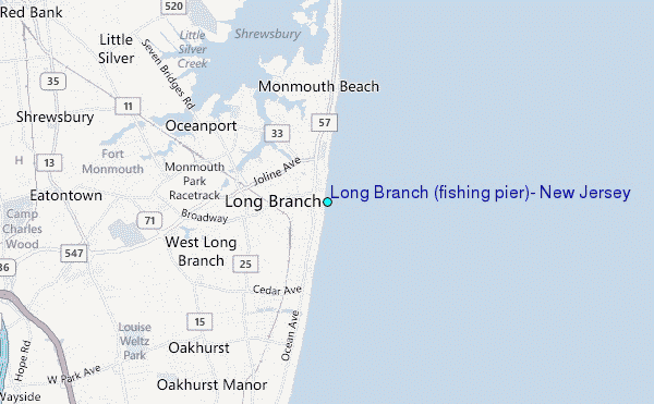
Choose Long Branch (fishing pier), New Jersey Location Map Zoom:
| Contours: | Roads & Rivers: | Select a
tide station / surf break / city |
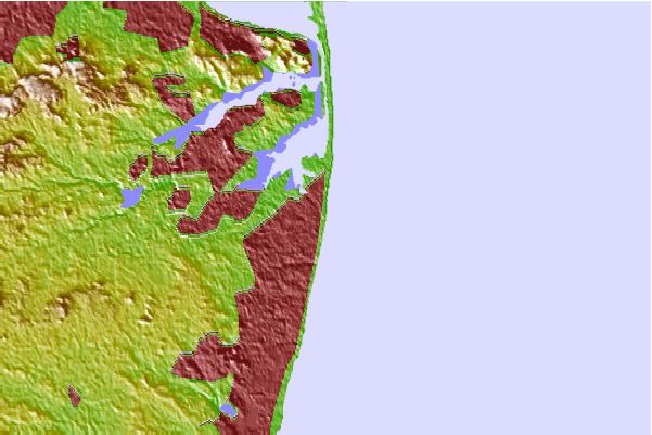
Use this relief map to navigate to tide stations, surf breaks and cities that are in the area of Long Branch (fishing pier), New Jersey.
Other Nearby Locations' tide tables and tide charts to Long Branch (fishing pier), New Jersey:
click location name for more details
 Surf breaks close to Long Branch (fishing pier), New Jersey:
|
||
|---|---|---|
| Closest surf break | 7 Presidents Street Park | 1 mi |
| Second closest surf break | The Wedge (Allenhurst) | 2 mi |
| Third closest surf break | Ocean Lane Deal | 4 mi |
| Fourth closest surf break | Phillips Pump House | 4 mi |
| Fifth closest surf break | Loch Arbor | 5 mi |


 Nearest
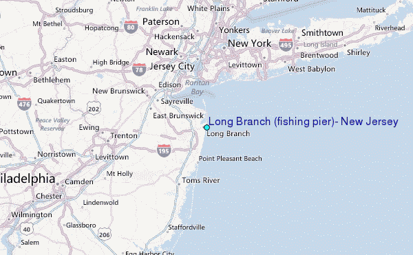