
| Distance / Altitude | Location | Report Date / Time | Live Weather | Wind | Gusts | Temp. | Visibility | Cloud |
|---|---|---|---|---|---|---|---|---|
| 1 km NE / 3 m | BUOY-LOPW1 (Marine) | 2026-07-11 18:00 local (2026/07/12 01:00 GMT) | - (- km/h at -) | — | - | |||
| 4 km ENE / 220 m | Kelso Longveiw Airport (Washington) | 2026-07-11 16:56 local (2026/07/11 23:56 GMT) | Dry and partly cloudy | light winds from the SW (7 km/h at 230) | 24°C | 16 | scattered broken | |
| 17 km SSE / 3 m | BUOY-KLMW1 (Marine) | 2026-07-11 18:00 local (2026/07/12 01:00 GMT) | - (- km/h at -) | — | - | |||
| 38 km S / 219 m | Scappoose Airport (Oregon) | 2026-07-11 16:53 local (2026/07/11 23:53 GMT) | Dry and partly cloudy | light winds from the E (7 km/h at 100) | 24°C | 16 | scattered broken | |
| 59 km SSE / 218 m | Vancouver Airport (Washington) | 2026-07-11 16:53 local (2026/07/11 23:53 GMT) | Clear | light winds from the SW (11 km/h at 230) | 26°C | 16 | ||
| 62 km S / 218 m | Hillsboro/Portland Airport (Oregon) | 2026-07-11 16:53 local (2026/07/11 23:53 GMT) | Dry and partly cloudy | light winds from the WNW (9 km/h at 290) | 24°C | 16 | broken | |
| 64 km N / 54 m | Chehalis Central Airport (Washington) | 2026-07-11 17:35 local (2026/07/12 00:35 GMT) | Dry and partly cloudy | wind obs. (6 kph from 1 degs) was rejected (- km/h at -) | 23°C | 16 | few scattered broken | |
| 64 km SSE / 218 m | Portland Airport (Oregon) | 2026-07-11 16:53 local (2026/07/11 23:53 GMT) | Dry and partly cloudy | calm (0 km/h at 0) | 24°C | 16 | scattered scattered | |
| 64 km WSW / 3 m | BUOY-ASTO3 (Marine) | 2026-07-11 18:00 local (2026/07/12 01:00 GMT) | light winds from the WSW (13 km/h at 250) | 17°C | - | |||
| 72 km WSW / 218 m | Astoria Airport (Oregon) | 2026-07-11 16:55 local (2026/07/11 23:55 GMT) | Clear | fresh winds from the SSW (30 km/h at 210) | 17°C | 14 |
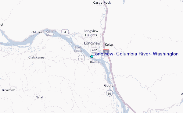
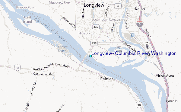
Choose Longview, Columbia River, Washington Location Map Zoom:
| Contours: | Roads & Rivers: | Select a
tide station / surf break / city |
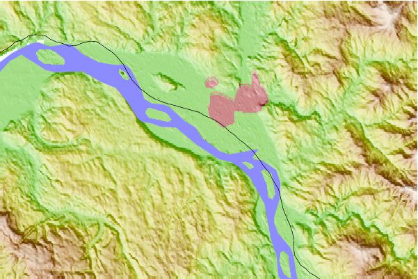
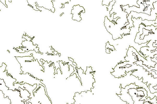
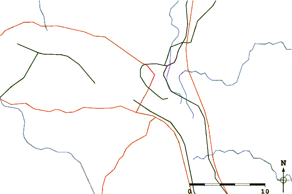
Use this relief map to navigate to tide stations, surf breaks and cities that are in the area of Longview, Columbia River, Washington.
Other Nearby Locations' tide tables and tide charts to Longview, Columbia River, Washington:
click location name for more details
 Surf breaks close to Longview, Columbia River, Washington:
|
||
|---|---|---|
| Closest surf break | Seaside Cove | 48 mi |
| Second closest surf break | Seaside Point | 50 mi |
| Third closest surf break | Cannon Beach/Tolovana Beach | 51 mi |
| Fourth closest surf break | Indian Beach/Ecola State Park | 51 mi |
| Fifth closest surf break | Indian Head | 51 mi |


 Nearest
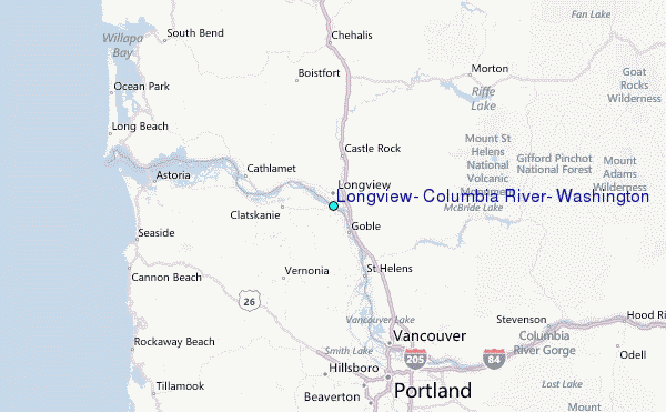