
| Distance / Altitude | Location | Report Date / Time | Live Weather | Wind | Gusts | Temp. | Visibility | Cloud |
|---|---|---|---|---|---|---|---|---|
| 2 km S / 3 m | SHIP5674 (Marine) | 2026-07-09 20:00 local (2026/07/09 18:00 GMT) | - (- km/h at -) | 11°C | - | |||
| 5 km WNW / 213 m | Svalbard/Longyear Airport (Norway) | 2026-07-09 20:20 local (2026/07/09 18:20 GMT) | no report | wind obs. (7 kph from 230 degs) was rejected (- km/h at -) | 7°C | 10.0 | broken - - | |
| 6 km W / 469 m | Spitsbergen (Norway) | 2026-07-09 20:00 local (2026/07/09 18:00 GMT) | no report | moderate winds from the ESE (25 km/h at 120) | 2°C | - | - | |
| 11 km SE / 360 m | Adventdalen- Gruve 7 (Svalbard and Jan Mayen) | 2026-07-09 21:00 local (2026/07/09 19:00 GMT) | - | light winds from the E (17 km/h at 93) | 11°C | - | - - 0 | |
| 24 km NE / 5 m | UNIS Vindodden (Svalbard and Jan Mayen) | 2026-07-09 21:00 local (2026/07/09 19:00 GMT) | - | strong winds from the ENE (48 km/h at 65) | 11°C | - | - - 0 | |
| 2 km S / 15 m | SHIP1745 (Marine) | 2026-07-09 20:00 local (2026/07/09 18:00 GMT) | - (- km/h at -) | — | - km | |||
| 5 km WNW / 213 m | Svalbard/Longyear Airport (Norway) | 2026-07-09 20:20 local (2026/07/09 18:20 GMT) | no report | wind obs. (7 kph from 230 degs) was rejected (- km/h at -) | 7°C | 10.0 | broken - - | |
| 6 km W / 469 m | Spitsbergen (Norway) | 2026-07-09 20:00 local (2026/07/09 18:00 GMT) | no report | moderate winds from the ESE (25 km/h at 120) | 2°C | - | - | |
| 11 km SE / 360 m | Adventdalen- Gruve 7 (Svalbard and Jan Mayen) | 2026-07-09 21:00 local (2026/07/09 19:00 GMT) | - | light winds from the E (17 km/h at 93) | 11°C | - | - - 0 | |
| 24 km NE / 5 m | UNIS Vindodden (Svalbard and Jan Mayen) | 2026-07-09 21:00 local (2026/07/09 19:00 GMT) | - | strong winds from the ENE (48 km/h at 65) | 11°C | - | - - 0 |
| Contours: | Roads & Rivers: | Select a
tide station / surf break / city |
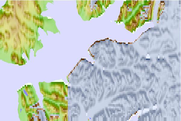
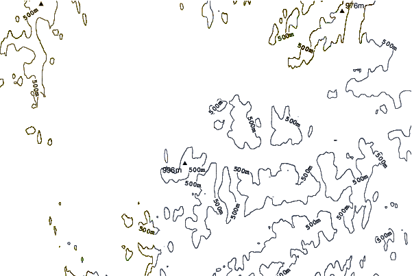
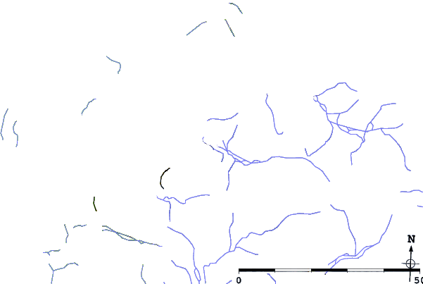
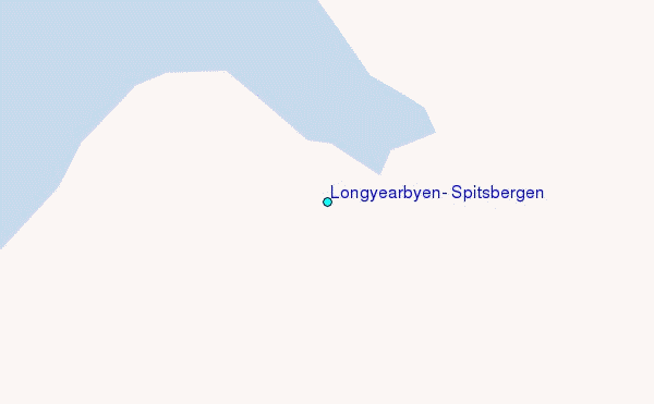
Use this relief map to navigate to tide stations, surf breaks and cities that are in the area of Longyearbyen, Spitsbergen.
Other Nearby Locations' tide tables and tide charts to Longyearbyen, Spitsbergen:
click location name for more details
 Surf breaks close to Longyearbyen, Spitsbergen:
|
||
|---|---|---|
| Closest surf break | Kvalnes (Lofoten) | 683 mi |
| Second closest surf break | Unstad (Lofoten) | 689 mi |
| Third closest surf break | Seines | 761 mi |
| Fourth closest surf break | Monumentet | 780 mi |
| Fifth closest surf break | Eyvik | 1062 mi |


 Nearest
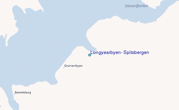