
| Distance / Altitude | Location | Report Date / Time | Live Weather | Wind | Gusts | Temp. | Visibility | Cloud |
|---|---|---|---|---|---|---|---|---|
| 6 km NNE / 213 m | Los Alamitos Army Airfield Airport (California) | 2026-07-27 06:55 local (2026/07/27 13:55 GMT) | Mist - | calm (0 km/h at 0) | 22°C | 8 | overcast | |
| 13 km WSW / 3 m | BUOY-PRJC1 (Marine) | 2026-07-27 08:00 local (2026/07/27 15:00 GMT) | light winds from the SSE (11 km/h at 150) | — | - | |||
| 14 km WSW / 15 m | SHIP9816 (Marine) | 2026-07-27 07:00 local (2026/07/27 14:00 GMT) | - (- km/h at -) | — | - km | |||
| 14 km WNW / 218 m | Long Beach Airport (California) | 2026-07-27 07:53 local (2026/07/27 14:53 GMT) | Dry and cloudy | light winds from the SE (9 km/h at 130) | 22°C | 14 | overcast | |
| 14 km WSW / 3 m | Long Beach Channel- CA (Marine) | 2026-07-27 08:26 local (2026/07/27 15:26 GMT) | - (- km/h at -) | — | - | |||
| 14 km WSW / 3 m | SHIP9134 (Marine) | 2026-07-27 07:00 local (2026/07/27 14:00 GMT) | - (- km/h at -) | 21°C | - | |||
| 14 km WSW / 15 m | SHIP5397 (Marine) | 2026-07-27 07:00 local (2026/07/27 14:00 GMT) | - (- km/h at -) | — | - km | |||
| 14 km WSW / 3 m | SHIP2486 (Marine) | 2026-07-27 08:00 local (2026/07/27 15:00 GMT) | - (- km/h at -) | 22°C | - | |||
| 14 km WSW / 3 m | SHIP1959 (Marine) | 2026-07-27 07:00 local (2026/07/27 14:00 GMT) | - (- km/h at -) | 21°C | - | |||
| 14 km WSW / 3 m | Long Beach Channel- CA (Marine) | 2026-07-27 08:26 local (2026/07/27 15:26 GMT) | - (- km/h at -) | — | - |
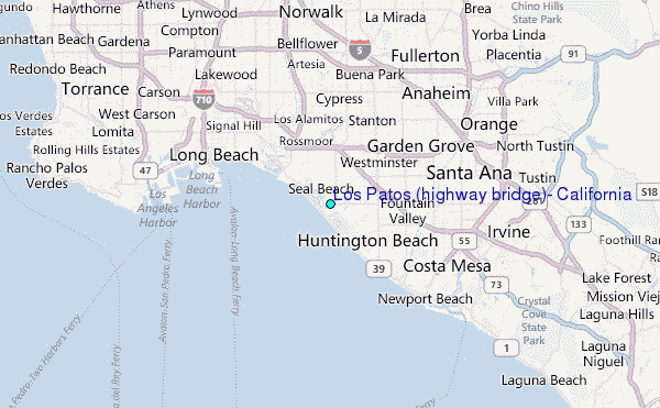
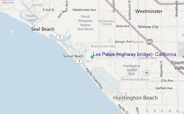
Choose Los Patos (highway bridge), California Location Map Zoom:
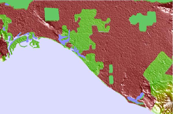
| Contours: | Roads & Rivers: | Select a
tide station / surf break / city |
Use this relief map to navigate to tide stations, surf breaks and cities that are in the area of Los Patos (highway bridge), California.
Other Nearby Locations' tide tables and tide charts to Los Patos (highway bridge), California:
click location name for more details
 Surf breaks close to Los Patos (highway bridge), California:
|
||
|---|---|---|
| Closest surf break | Bolsa Chica | 1 mi |
| Second closest surf break | Sunset Beach | 1 mi |
| Third closest surf break | Surfside Jetty | 1 mi |
| Fourth closest surf break | Anderson Street | 2 mi |
| Fifth closest surf break | Dolphin Street | 2 mi |


 Nearest
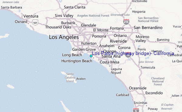