
| Distance / Altitude | Location | Report Date / Time | Live Weather | Wind | Gusts | Temp. | Visibility | Cloud |
|---|---|---|---|---|---|---|---|---|
| 1 km WSW / 217 m | Lossiemouth RAF Airport (United Kingdom) | 2026-06-26 20:50 local (2026/06/26 19:50 GMT) | Dry and partly cloudy | moderate winds from the ENE (20 km/h at 70) | 14°C | 10.0 | few broken | |
| 18 km SW / 7 m | Kinloss (United Kingdom) | 2026-06-26 22:00 local (2026/06/26 21:00 GMT) | no report | wind obs. (17 kph from 310 degs) was rejected (- km/h at -) | 17°C | 65 | - | |
| 28 km N / 3 m | Moray Firth WaveNet Site (Marine) | 2026-06-26 22:00 local (2026/06/26 21:00 GMT) | - (- km/h at -) | — | - | |||
| 38 km SW / 74 m | Nairn (United Kingdom) | 2026-06-26 22:20 local (2026/06/26 21:20 GMT) | dry | calm (0 km/h at 0) | 13°C | - | - - 0 | |
| 41 km W / 188 m | Tain Range (United Kingdom) | 2026-06-26 21:20 local (2026/06/26 20:20 GMT) | Dry and cloudy | light winds from the ENE (13 km/h at 60) | 13°C | - | overcast - - | |
| 44 km SW / 15 m | SHIP3410 (Marine) | 2026-06-26 20:00 local (2026/06/26 19:00 GMT) | - (- km/h at -) | — | - km | |||
| 44 km SW / 3 m | SHIP1102 (Marine) | 2026-06-26 20:00 local (2026/06/26 19:00 GMT) | - (- km/h at -) | — | - | |||
| 44 km SW / 3 m | SHIP569 (Marine) | 2026-06-26 20:00 local (2026/06/26 19:00 GMT) | - (- km/h at -) | — | - | |||
| 44 km SW / 3 m | SHIP471 (Marine) | 2026-06-26 22:00 local (2026/06/26 21:00 GMT) | - (- km/h at -) | — | - | |||
| 44 km SW / 3 m | SHIP272 (Marine) | 2026-06-26 21:00 local (2026/06/26 20:00 GMT) | - (- km/h at -) | — | - |
| Contours: | Roads & Rivers: | Select a
tide station / surf break / city |
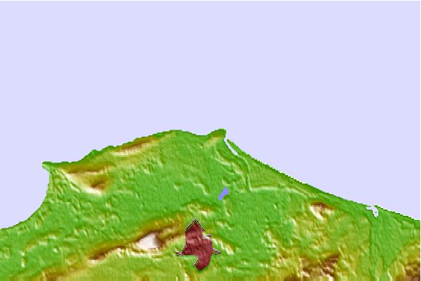
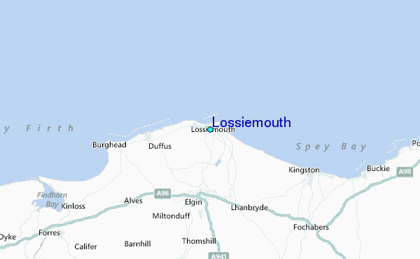
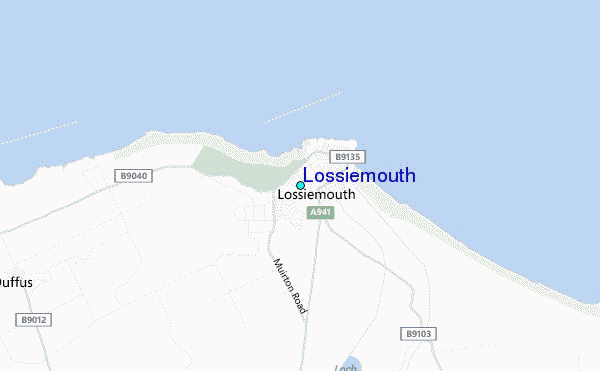
Use this relief map to navigate to tide stations, surf breaks and cities that are in the area of Lossiemouth.
Other Nearby Locations' tide tables and tide charts to Lossiemouth:
click location name for more details
 Surf breaks close to Lossiemouth:
|
||
|---|---|---|
| Closest surf break | Lossiemouth | 1 mi |
| Second closest surf break | Spey Bay | 8 mi |
| Third closest surf break | Cullen | 17 mi |
| Fourth closest surf break | Sandend Bay | 21 mi |
| Fifth closest surf break | Boyndie Bay | 27 mi |


 Nearest
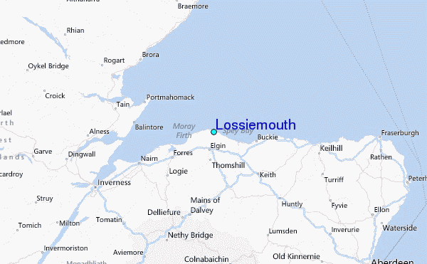