
| Distance / Altitude | Location | Report Date / Time | Live Weather | Wind | Gusts | Temp. | Visibility | Cloud |
|---|---|---|---|---|---|---|---|---|
| 32 km E / 9 m | Brevig_mission Airport (Alaska) | 2026-06-23 17:56 local (2026/06/24 01:56 GMT) | Clear | light winds from the W (13 km/h at 260) | 11°C | 16 | ||
| 42 km ESE / 90 m | Teller Airport (Alaska) | 2026-06-23 17:56 local (2026/06/24 01:56 GMT) | Clear | light winds from the WSW (19 km/h at 250) | 13°C | 16 | ||
| 51 km W / 3 m | BUOY-WLXA2 (Marine) | 2026-06-23 19:02 local (2026/06/24 03:02 GMT) | strong winds from the SSW (39 km/h at 210) | — | - | |||
| 51 km W / 7 m | Wales Airport (Alaska) | 2026-06-23 17:56 local (2026/06/24 01:56 GMT) | Clear | fresh winds from the SSW (31 km/h at 210) | 7°C | 16 | ||
| 110 km NNE / 215 m | Shishmaref Airport (Alaska) | 2026-06-23 17:56 local (2026/06/24 01:56 GMT) | Clear | light winds from the WNW (11 km/h at 290) | 10°C | 16 | ||
| 115 km SSE / 3 m | SHIP8949 (Marine) | 2026-06-23 19:00 local (2026/06/24 03:00 GMT) | - (- km/h at -) | — | - | |||
| 123 km SE / 15 m | SHIP2537 (Marine) | 2026-06-23 18:00 local (2026/06/24 02:00 GMT) | - (- km/h at -) | — | - km | |||
| 123 km SE / 3 m | SHIP8602 (Marine) | 2026-06-23 18:00 local (2026/06/24 02:00 GMT) | - (- km/h at -) | — | - | |||
| 123 km SE / 3 m | SHIP8393 (Marine) | 2026-06-23 18:00 local (2026/06/24 02:00 GMT) | - (- km/h at -) | — | - | |||
| 123 km SE / 15 m | SHIP6660 (Marine) | 2026-06-23 18:00 local (2026/06/24 02:00 GMT) | - (- km/h at -) | — | - km |
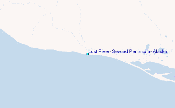
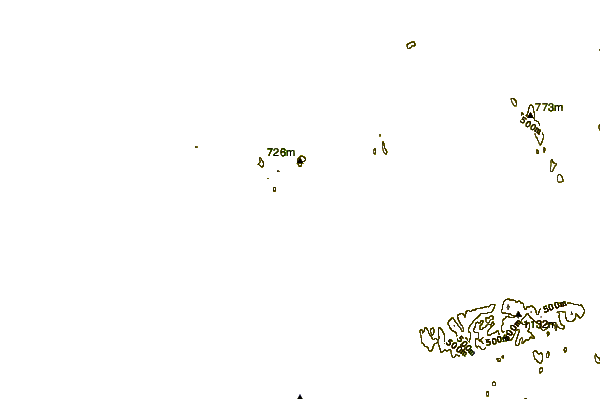
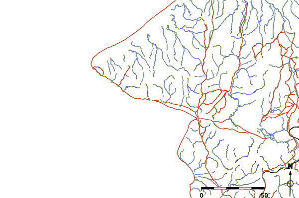
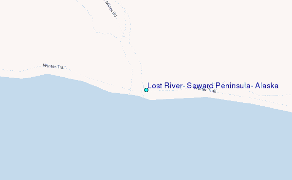
Choose Lost River, Seward Peninsula, Alaska Location Map Zoom:
| Contours: | Roads & Rivers: | Select a
tide station / surf break / city |
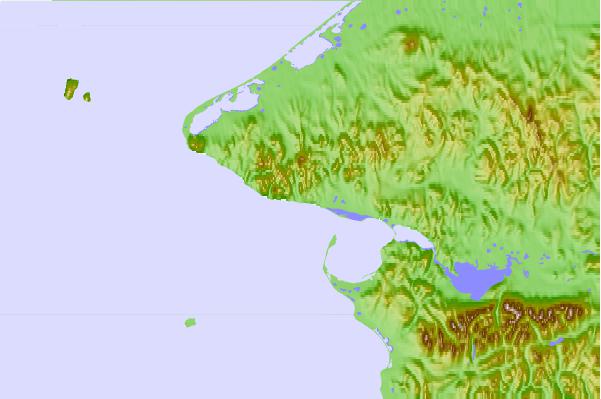
Use this relief map to navigate to tide stations, surf breaks and cities that are in the area of Lost River, Seward Peninsula, Alaska.
Other Nearby Locations' tide tables and tide charts to Lost River, Seward Peninsula, Alaska:
click location name for more details
 Surf breaks close to Lost River, Seward Peninsula, Alaska:
|
||
|---|---|---|
| Closest surf break | Bird Point (Tidal Bore) | 587 mi |
| Second closest surf break | Termination Point | 708 mi |
| Third closest surf break | Monashka Bay | 709 mi |
| Fourth closest surf break | Mill Bay | 711 mi |
| Fifth closest surf break | Fossil Beach Kodiak | 733 mi |


 Nearest
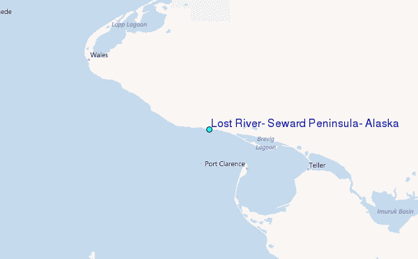