
| Distance / Altitude | Location | Report Date / Time | Live Weather | Wind | Gusts | Temp. | Visibility | Cloud |
|---|---|---|---|---|---|---|---|---|
| 6 km WNW / 217 m | Brunswick Golden Isles Airport (Georgia) | 2026-06-23 01:35 local (2026/06/23 05:35 GMT) | Clear | light winds from the WSW (9 km/h at 240) | 24°C | 16 | ||
| 8 km SSE / 218 m | Brunswick Airport (Georgia) | 2026-06-23 01:35 local (2026/06/23 05:35 GMT) | Clear | light winds from the SW (13 km/h at 220) | 26°C | 16 | ||
| 26 km NNE / 3 m | BUOY-SAXG1 (Marine) | 2026-06-23 02:00 local (2026/06/23 06:00 GMT) | light winds from the SSW (13 km/h at 200) | 25°C | - | |||
| 48 km S / 3 m | BUOY-KBMG1 (Marine) | 2026-06-23 02:18 local (2026/06/23 06:18 GMT) | - (- km/h at -) | — | - | |||
| 57 km ENE / 3 m | Grays Reef Buoy (Marine) | 2026-06-23 02:30 local (2026/06/23 06:30 GMT) | - (22 km/h at -) | 28°C | - | |||
| 57 km SSE / 3 m | Offshore Fernandina Beach- FL (Marine) | 2026-06-23 02:26 local (2026/06/23 06:26 GMT) | - (- km/h at -) | — | - | |||
| 58 km WNW / 33 m | Jesup/Wayne County Airport (Georgia) | 2026-06-23 01:30 local (2026/06/23 05:30 GMT) | Clear | calm (0 km/h at 0) | 23°C | 16 | ||
| 59 km S / 3 m | BUOY-FRDF1 (Marine) | 2026-06-23 02:18 local (2026/06/23 06:18 GMT) | calm (4 km/h at 210) | — | - | |||
| 66 km S / 5 m | Fernandina Beach Airport (Florida) (Florida) | 2026-06-23 01:15 local (2026/06/23 05:15 GMT) | Mist - | calm (0 km/h at 0) | — | 11 | ||
| 68 km S / 9 m | Fernandina Beach (Florida) | 2026-06-23 02:35 local (2026/06/23 06:35 GMT) | dry | calm (0 km/h at 271) | 23°C | - | - - 0 |
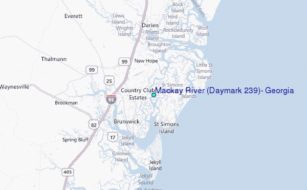
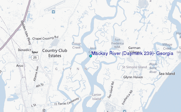
Choose Mackay River (Daymark #239), Georgia Location Map Zoom:
| Contours: | Roads & Rivers: | Select a
tide station / surf break / city |
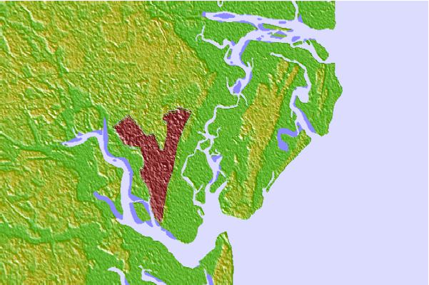
Use this relief map to navigate to tide stations, surf breaks and cities that are in the area of Mackay River (Daymark #239), Georgia.
Other Nearby Locations' tide tables and tide charts to Mackay River (Daymark #239), Georgia:
click location name for more details
 Surf breaks close to Mackay River (Daymark #239), Georgia:
|
||
|---|---|---|
| Closest surf break | Goulds Inlet | 5 mi |
| Second closest surf break | Sea Island | 5 mi |
| Third closest surf break | Coastguard/St Simons | 6 mi |
| Fourth closest surf break | St Simons Island | 6 mi |
| Fifth closest surf break | 5th and 7th Streets | 9 mi |


 Nearest
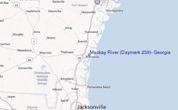