
| Distance / Altitude | Location | Report Date / Time | Live Weather | Wind | Gusts | Temp. | Visibility | Cloud |
|---|---|---|---|---|---|---|---|---|
| 75 km WNW / 6 m | AdeleIsland (Australia) | 2026-06-09 17:00 local (2026/06/09 09:00 GMT) | no report | wind obs. (11 kph from 180 degs) was rejected (- km/h at -) | 26°C | - | - no observation - | |
| 96 km SSE / 7 m | YampiSound(Defence) (Australia) | 2026-06-09 17:00 local (2026/06/09 09:00 GMT) | no report | wind obs. (9 kph from 250 degs) was rejected (- km/h at -) | 27°C | - | - no observation - | |
| 121 km NE / 15 m | SHIP4922 (Marine) | 2026-06-09 17:00 local (2026/06/09 09:00 GMT) | light winds from the N (10.8 km/h at 350) | 28°C | - km | |||
| 158 km S / 7 m | Derby Airport (Australia) | 2026-06-09 17:00 local (2026/06/09 09:00 GMT) | no report | wind obs. (6 kph from 350 degs) was rejected (- km/h at -) | 27°C | - | - - - | |
| 181 km S / 78 m | Curtin (Australia) | 2026-06-09 17:00 local (2026/06/09 09:00 GMT) | no report | wind obs. (9 kph from 160 degs) was rejected (- km/h at -) | 27°C | - | - | |
| 129 km NE / 3 m | SHIP4238 (Marine) | 2026-06-09 16:00 local (2026/06/09 08:00 GMT) | light winds from the NNW (14 km/h at 330) | 28°C | - | |||
| 129 km NE / 15 m | SHIP8887 (Marine) | 2026-06-09 16:00 local (2026/06/09 08:00 GMT) | light winds from the NNW (14.4 km/h at 330) | 28°C | - km | |||
| 129 km NE / 15 m | SHIP3436 (Marine) | 2026-06-09 16:00 local (2026/06/09 08:00 GMT) | light winds from the NNW (14.4 km/h at 330) | 28°C | - km | |||
| 157 km S / 7 m | Derby Airport (Australia) | 2026-06-09 17:00 local (2026/06/09 09:00 GMT) | no report | wind obs. (6 kph from 350 degs) was rejected (- km/h at -) | 27°C | - | - - - | |
| 170 km ENE / 15 m | SHIP3189 (Marine) | 2026-06-09 16:00 local (2026/06/09 08:00 GMT) | - (- km/h at -) | 28°C | - km |
| Contours: | Roads & Rivers: | Select a
tide station / surf break / city |
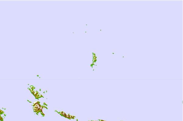
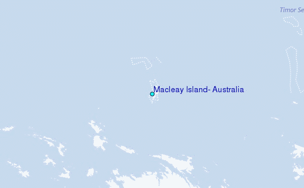
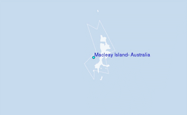
Use this relief map to navigate to tide stations, surf breaks and cities that are in the area of Macleay Island, Australia.
Other Nearby Locations' tide tables and tide charts to Macleay Island, Australia:
click location name for more details
 Surf breaks close to Macleay Island, Australia:
|
||
|---|---|---|
| Closest surf break | Cable Beach (Broome) | 166 mi |
| Second closest surf break | Gantheaume Point (Broome) | 172 mi |
| Third closest surf break | Ndana | 349 mi |
| Fourth closest surf break | Boa | 351 mi |
| Fifth closest surf break | Peanuts | 352 mi |


 Nearest
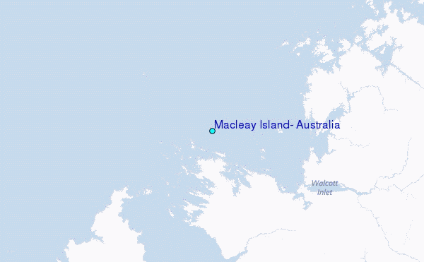